1667 River Rd Mineral Bluff, GA 30559
Estimated Value: $388,187 - $607,000
--
Bed
--
Bath
1,488
Sq Ft
$335/Sq Ft
Est. Value
About This Home
This home is located at 1667 River Rd, Mineral Bluff, GA 30559 and is currently estimated at $498,297, approximately $334 per square foot. 1667 River Rd is a home with nearby schools including Fannin County High School.
Ownership History
Date
Name
Owned For
Owner Type
Purchase Details
Closed on
May 19, 2025
Sold by
Watkins Tina Patsy
Bought by
Clackum Debra Denise and Watkins James Milburn
Current Estimated Value
Purchase Details
Closed on
Aug 25, 2017
Bought by
Watkins Tina Patsy
Purchase Details
Closed on
Aug 26, 1997
Sold by
Potter Boots L
Bought by
Watkins James M
Purchase Details
Closed on
Jan 14, 1997
Sold by
Potter Preston G
Bought by
Potter Boots L
Create a Home Valuation Report for This Property
The Home Valuation Report is an in-depth analysis detailing your home's value as well as a comparison with similar homes in the area
Home Values in the Area
Average Home Value in this Area
Purchase History
| Date | Buyer | Sale Price | Title Company |
|---|---|---|---|
| Clackum Debra Denise | -- | -- | |
| Watkins Tina Patsy | -- | -- | |
| Watkins James M | $12,000 | -- | |
| Potter Boots L | -- | -- |
Source: Public Records
Tax History Compared to Growth
Tax History
| Year | Tax Paid | Tax Assessment Tax Assessment Total Assessment is a certain percentage of the fair market value that is determined by local assessors to be the total taxable value of land and additions on the property. | Land | Improvement |
|---|---|---|---|---|
| 2024 | $289 | $152,873 | $13,012 | $139,861 |
| 2023 | $322 | $123,713 | $13,012 | $110,701 |
| 2022 | $322 | $125,106 | $13,012 | $112,094 |
| 2021 | $444 | $71,326 | $13,012 | $58,314 |
| 2020 | $450 | $71,326 | $13,012 | $58,314 |
| 2019 | $459 | $70,351 | $13,012 | $57,339 |
| 2018 | $1,027 | $66,633 | $9,294 | $57,339 |
| 2017 | $1,191 | $67,292 | $9,294 | $57,998 |
| 2016 | $502 | $64,609 | $9,294 | $55,315 |
| 2015 | $523 | $65,896 | $9,294 | $56,602 |
| 2014 | $523 | $67,688 | $7,062 | $60,627 |
| 2013 | -- | $48,119 | $7,061 | $41,057 |
Source: Public Records
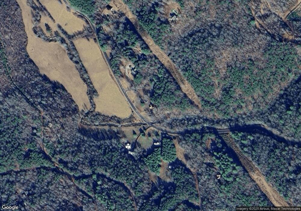
Map
Nearby Homes
- 35 Indian Trace
- LOT 41 Tomahawk Ln Unit 41
- LOT 41 Tomahawk Ln
- 100 Arrow Way
- 164 Brook Ln
- 141 Friendship Ln
- 737 Wildwood Trail
- 777 Williamstown Rd
- 65 Wolf Creek Estate
- 41 Wolf Creek Estate
- 138 Wolf Creek Estate
- LT 13/14 S Williamstown Ridge
- 149 Happy Hollow Ln
- 0 Lower Toccoa Hills Rd Unit 10557000
- 0 Lower Toccoa Hills Rd Unit 7609254
- 502 River Hills Rd
- 501 River Hills Rd
- 406 Hope Dr
- 61 Mill Race Dr
- 82 Indian Trace
- 19 Mill Race Dr
- 1531 River Rd
- 52 Indian Trace
- 1750 River Rd
- 82 Indian
- 35 Indian Trace Unit 53A,53B
- 1591 River Rd
- 80 N Blackberry Ln
- 127 N Blackberry Ln
- 0 Indian Trace Unit 112960
- 0 Indian Trace Unit 7073457
- 0 Indian Trace
- 128 Tomahawk Ln
- 128 Tomahawk Ln
- 63 Lookout Trail
- 59 Indian Trace
- 1529 River Rd
- 276 Indian Trace