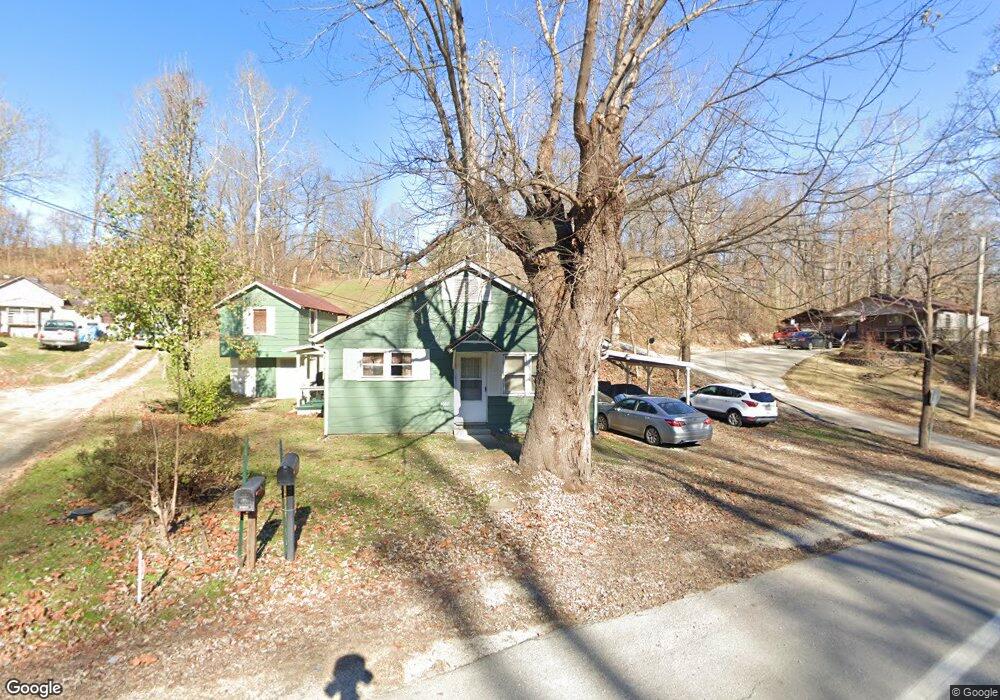
1667 State Route 243 Ironton, OH 45638
Estimated Value: $94,000 - $103,000
2
Beds
1
Bath
936
Sq Ft
$105/Sq Ft
Est. Value
About This Home
This home is located at 1667 State Route 243, Ironton, OH 45638 and is currently estimated at $98,327, approximately $105 per square foot. 1667 State Route 243 is a home located in Lawrence County with nearby schools including Dawson-Bryant Elementary School, Dawson-Bryant Middle School, and Dawson-Bryant High School.
Ownership History
Date
Name
Owned For
Owner Type
Purchase Details
Closed on
Jan 16, 2004
Sold by
Adams Charles
Bought by
Adams Charles Bryan and Adams Joy N
Current Estimated Value
Create a Home Valuation Report for This Property
The Home Valuation Report is an in-depth analysis detailing your home's value as well as a comparison with similar homes in the area
Home Values in the Area
Average Home Value in this Area
Purchase History
| Date | Buyer | Sale Price | Title Company |
|---|---|---|---|
| Adams Charles Bryan | -- | -- |
Source: Public Records
Tax History Compared to Growth
Tax History
| Year | Tax Paid | Tax Assessment Tax Assessment Total Assessment is a certain percentage of the fair market value that is determined by local assessors to be the total taxable value of land and additions on the property. | Land | Improvement |
|---|---|---|---|---|
| 2024 | -- | $19,330 | $4,730 | $14,600 |
| 2023 | $569 | $19,330 | $4,730 | $14,600 |
| 2022 | $567 | $19,330 | $4,730 | $14,600 |
| 2021 | $497 | $17,190 | $3,760 | $13,430 |
| 2020 | $513 | $17,190 | $3,760 | $13,430 |
| 2019 | $511 | $17,190 | $3,760 | $13,430 |
| 2018 | $517 | $17,190 | $3,760 | $13,430 |
| 2017 | $516 | $17,190 | $3,760 | $13,430 |
| 2016 | $476 | $17,190 | $3,760 | $13,430 |
| 2015 | $458 | $15,270 | $3,770 | $11,500 |
| 2014 | $453 | $15,270 | $3,770 | $11,500 |
| 2013 | $452 | $15,270 | $3,770 | $11,500 |
Source: Public Records
Map
Nearby Homes
- 156 Township Road 181
- 103 Carrico Dr
- 119 Remy St
- 2088 State Route 243
- 342 Township Road 296
- 519 Lane St
- 135 Lane St
- 514 Lane St
- 125 Center St
- 805 1/2 High St
- 309 High St
- 309 High St Unit LAO-5
- 1824 Carter Ave
- 0 Carter Ave
- 0 Central & Mlk
- 0 18th Street & Central Ave
- 2135 Central Ave
- 0 Central Ave
- 3107 S 4th St
- 0 27th Block of Carter Ave
- 114 Private Drive 1679
- 1649 State Route 243
- 1649 State Route 243
- 1661 State Route 243
- 1731 Ohio 243
- 1023 Marion Pike
- 1731 State Route 243
- 1710 State Route 243
- 88 Pvt Dr 1679 State Route 243
- 1740 State Route 243
- 1021 Marion Pike
- 1747 State Route 243
- 161 Pvt Dr 1679 State Route 243
- 12 Private Drive 1679
- 190 Township Road 385 Rd
- 100 Pvt Dr 1679 State Route 243
- 114 Pvt Dr 1679 State Route 243
- 25 Township Road 181
- 165 Township Road 1049
- 1784 State Route 243