1667 W 4 1/2 Mile Rd Sault Sainte Marie, MI 49783
Estimated Value: $176,630 - $314,000
3
Beds
2
Baths
1,456
Sq Ft
$166/Sq Ft
Est. Value
About This Home
This home is located at 1667 W 4 1/2 Mile Rd, Sault Sainte Marie, MI 49783 and is currently estimated at $241,908, approximately $166 per square foot. 1667 W 4 1/2 Mile Rd is a home located in Chippewa County with nearby schools including Sault Area Middle School and Sault Area High School.
Ownership History
Date
Name
Owned For
Owner Type
Purchase Details
Closed on
Nov 2, 2007
Sold by
Carpenter Shelley Kay and Carpenter Shelly Kay
Bought by
Molnar Matthew D
Current Estimated Value
Home Financials for this Owner
Home Financials are based on the most recent Mortgage that was taken out on this home.
Original Mortgage
$82,175
Outstanding Balance
$52,234
Interest Rate
6.47%
Estimated Equity
$189,674
Create a Home Valuation Report for This Property
The Home Valuation Report is an in-depth analysis detailing your home's value as well as a comparison with similar homes in the area
Home Values in the Area
Average Home Value in this Area
Purchase History
| Date | Buyer | Sale Price | Title Company |
|---|---|---|---|
| Molnar Matthew D | $86,500 | Eastern Upper Peninsula Titl |
Source: Public Records
Mortgage History
| Date | Status | Borrower | Loan Amount |
|---|---|---|---|
| Open | Molnar Matthew D | $82,175 |
Source: Public Records
Tax History Compared to Growth
Tax History
| Year | Tax Paid | Tax Assessment Tax Assessment Total Assessment is a certain percentage of the fair market value that is determined by local assessors to be the total taxable value of land and additions on the property. | Land | Improvement |
|---|---|---|---|---|
| 2025 | $2,220 | $75,700 | $0 | $0 |
| 2024 | $680 | $69,100 | $0 | $0 |
| 2023 | $616 | $60,300 | $0 | $0 |
| 2022 | $616 | $53,500 | $0 | $0 |
| 2021 | $1,064 | $49,200 | $0 | $0 |
| 2020 | $1,064 | $49,600 | $0 | $0 |
| 2019 | $1,070 | $49,900 | $0 | $0 |
| 2018 | $1,047 | $48,800 | $0 | $0 |
| 2017 | $584 | $48,100 | $0 | $0 |
| 2016 | $591 | $48,700 | $0 | $0 |
| 2011 | -- | $45,800 | $0 | $0 |
Source: Public Records
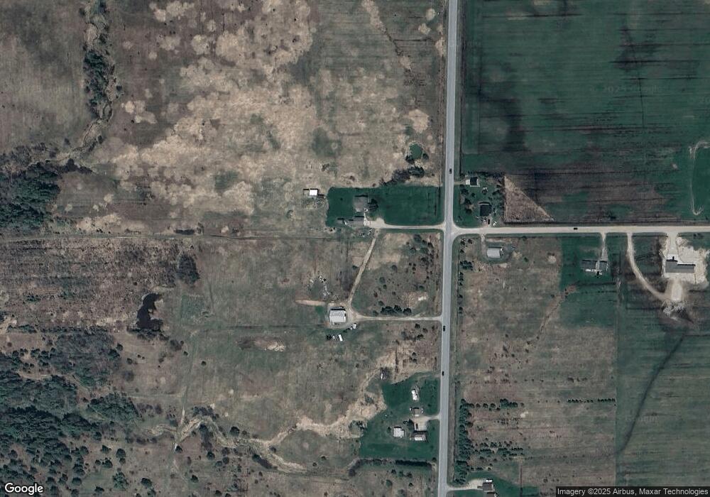
Map
Nearby Homes
- 4538 S Baker Side Rd
- 3546 S Radar Rd
- 1605 S Mulligan Row
- 1605 S Mulligan Row Unit 1605
- 3438 S Reynolds Ln
- 3601 S Radar Rd
- 647 W Ford Dr
- 647 W Ford Dr Unit 647
- 0000 W 5 Mile Rd
- 0000 W 5 Mile Rd
- 0 W 6 Mile Rd Unit 25-976
- 3805 I 75 Business Spur
- 0 W 24th St
- 2550 W 14th St
- 0 W 24th Ave
- 3715 Bermuda Ave
- 00 W 16th Ave
- 0000 W 11th Ave
- 0000 W 11th Ave
- 3580 Bermuda Ave
- 1529 W 4 1/2 Mile Rd
- 4654 S Pineshore Row
- 4550 Cedar Point Row
- 1605 W 4 1/2 Mile Rd
- 1713 W 4 1/2 Mile Rd
- 4600 S Baker Side Rd
- 4547 S Baker Side Rd
- 4296 S Baker Side Rd
- 4250 S Baker Side Rd
- 1225 W 4 1/2 Mile Rd
- 4129 S Baker Side Rd
- 4745 S Baker Side Rd
- 4692 S Baker Side Rd
- 4764 S Baker Side Rd
- 00 W 4 1 2 Mile Rd
- 4140 S Baker Side Rd
- 4866 S Baker Side Rd
- 4838 S Baker Side Rd
- 4816 S Baker Side Rd
- 4816 S Baker Side Rd