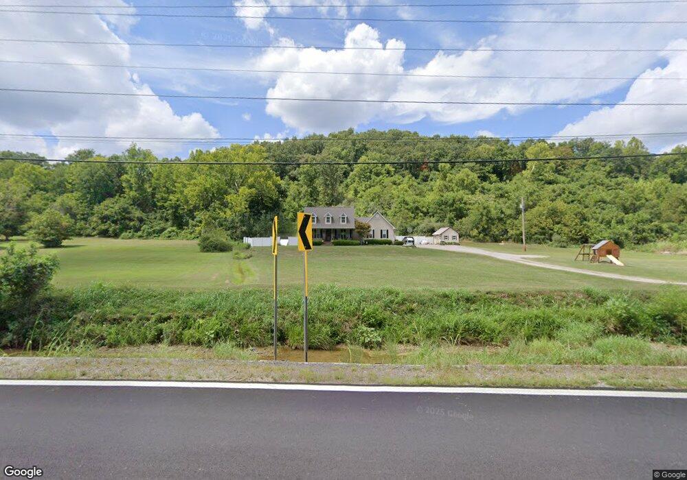
16673 State Route 141 Willow Wood, OH 45696
Estimated Value: $196,000 - $322,853
3
Beds
2
Baths
2,038
Sq Ft
$133/Sq Ft
Est. Value
About This Home
This home is located at 16673 State Route 141, Willow Wood, OH 45696 and is currently estimated at $270,213, approximately $132 per square foot. 16673 State Route 141 is a home located in Lawrence County with nearby schools including Symmes Valley Elementary School and Symmes Valley High School.
Ownership History
Date
Name
Owned For
Owner Type
Purchase Details
Closed on
May 12, 2020
Sold by
Justice Shelley M
Bought by
Justice Richard M
Current Estimated Value
Home Financials for this Owner
Home Financials are based on the most recent Mortgage that was taken out on this home.
Original Mortgage
$149,246
Outstanding Balance
$104,394
Interest Rate
3.3%
Mortgage Type
FHA
Estimated Equity
$165,819
Purchase Details
Closed on
Sep 26, 2003
Sold by
Justice Curtis Richard
Bought by
Justice Richard M and Justice She
Create a Home Valuation Report for This Property
The Home Valuation Report is an in-depth analysis detailing your home's value as well as a comparison with similar homes in the area
Home Values in the Area
Average Home Value in this Area
Purchase History
| Date | Buyer | Sale Price | Title Company |
|---|---|---|---|
| Justice Richard M | $152,000 | Amrock | |
| Justice Richard M | $500 | -- |
Source: Public Records
Mortgage History
| Date | Status | Borrower | Loan Amount |
|---|---|---|---|
| Open | Justice Richard M | $149,246 |
Source: Public Records
Tax History Compared to Growth
Tax History
| Year | Tax Paid | Tax Assessment Tax Assessment Total Assessment is a certain percentage of the fair market value that is determined by local assessors to be the total taxable value of land and additions on the property. | Land | Improvement |
|---|---|---|---|---|
| 2024 | -- | $75,960 | $2,740 | $73,220 |
| 2023 | $2,125 | $75,960 | $2,740 | $73,220 |
| 2022 | $2,123 | $75,960 | $2,740 | $73,220 |
| 2021 | $1,830 | $64,600 | $2,370 | $62,230 |
| 2020 | $1,508 | $52,730 | $2,370 | $50,360 |
| 2019 | $1,589 | $52,730 | $2,370 | $50,360 |
| 2018 | $1,512 | $49,780 | $2,370 | $47,410 |
| 2017 | $1,513 | $49,780 | $2,370 | $47,410 |
| 2016 | $1,367 | $49,780 | $2,370 | $47,410 |
| 2015 | $1,246 | $45,030 | $2,280 | $42,750 |
| 2014 | $1,245 | $45,030 | $2,280 | $42,750 |
| 2013 | $1,245 | $45,030 | $2,280 | $42,750 |
Source: Public Records
Map
Nearby Homes
- 1102 County Road 8
- 18325 State Route 141
- 0 Ohio 775
- 266 Twp Rd 209
- 321 Township Road 75 S
- 0 Ohio 141
- 7381 County Road 16
- 174 Township Road 74
- 0 Venisonham-Camp Branch Rd Unit Tract 2
- 0 Venisonham-Camp Branch Rd Unit Tract 1
- 0 Venisonham-Camp Branch Rd
- 0 Venisonham-Camp Branch Rd Unit 25766693
- 0 Venisonham-Camp Branch Rd Unit 3
- 168 Township Road 122 W
- 13498 County Road 2
- 479 Township Road 122
- 0 County Road 213
- 784 Township Road 209
- 810 Township Road 141
- 1790 Hull Rd
- 16609 State Route 141
- 16563 State Route 141
- 16540 State Route 141
- 16909 State Route 141
- 16385 State Route 141
- 16349 State Route 141
- 16755 State Route 141
- 196 Private Drive 17371
- 17285 State Route 141
- 17009 State Route 141
- 17009 State Route 141
- 17363 State Route 141
- 17341 State Route 141
- 17012 State Route 141
- 16143 State Route 775
- 15981 State Route 775
- 15903 State Route 775
- 16100 State Route 141
- 16100 State Route 141
- 15908 State Route 775