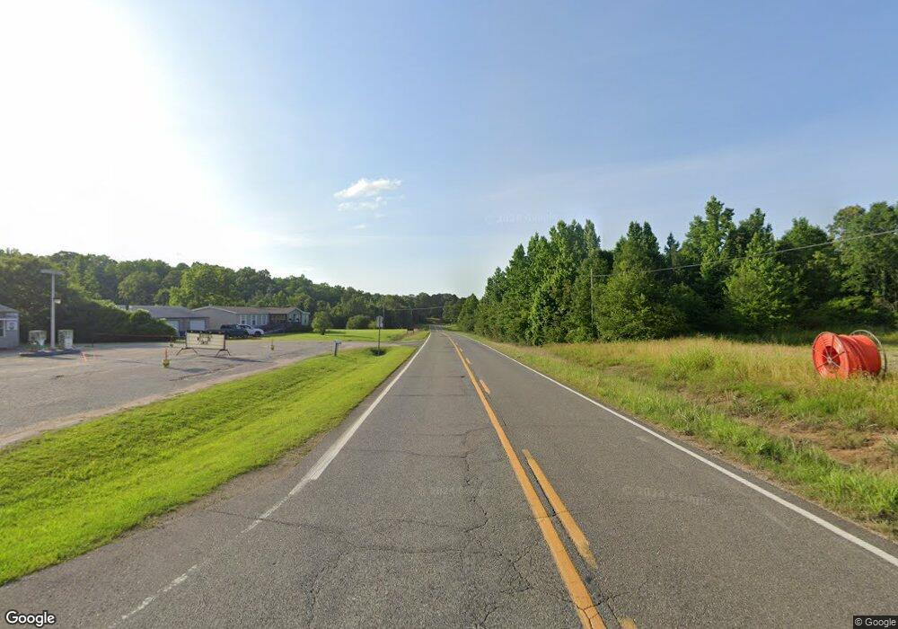
16675 Highway 69 N Northport, AL 35475
Estimated Value: $231,000 - $302,877
3
Beds
1
Bath
1,232
Sq Ft
$214/Sq Ft
Est. Value
About This Home
This home is located at 16675 Highway 69 N, Northport, AL 35475 and is currently estimated at $263,719, approximately $214 per square foot. 16675 Highway 69 N is a home located in Tuscaloosa County with nearby schools including Huntington Place Elementary School, Echols Middle School, and Tuscaloosa County High School.
Ownership History
Date
Name
Owned For
Owner Type
Purchase Details
Closed on
Jul 9, 2021
Sold by
Glenn Ray E
Bought by
Jones Lorne Dale
Current Estimated Value
Home Financials for this Owner
Home Financials are based on the most recent Mortgage that was taken out on this home.
Original Mortgage
$159,065
Outstanding Balance
$144,327
Interest Rate
2.9%
Mortgage Type
FHA
Estimated Equity
$119,392
Purchase Details
Closed on
Nov 26, 2019
Sold by
Strickland Jimmy Mack Estate
Bought by
Glenn Ray E
Purchase Details
Closed on
Mar 10, 2011
Sold by
Hustead Bobby
Bought by
Strickland Jimmy M
Home Financials for this Owner
Home Financials are based on the most recent Mortgage that was taken out on this home.
Original Mortgage
$110,000
Interest Rate
4.99%
Create a Home Valuation Report for This Property
The Home Valuation Report is an in-depth analysis detailing your home's value as well as a comparison with similar homes in the area
Home Values in the Area
Average Home Value in this Area
Purchase History
| Date | Buyer | Sale Price | Title Company |
|---|---|---|---|
| Jones Lorne Dale | $162,000 | -- | |
| Glenn Ray E | $170,000 | -- | |
| Strickland Jimmy M | $155,000 | -- |
Source: Public Records
Mortgage History
| Date | Status | Borrower | Loan Amount |
|---|---|---|---|
| Open | Jones Lorne Dale | $159,065 | |
| Previous Owner | Strickland Jimmy M | $110,000 |
Source: Public Records
Tax History Compared to Growth
Tax History
| Year | Tax Paid | Tax Assessment Tax Assessment Total Assessment is a certain percentage of the fair market value that is determined by local assessors to be the total taxable value of land and additions on the property. | Land | Improvement |
|---|---|---|---|---|
| 2024 | $557 | $49,320 | $11,500 | $37,820 |
| 2023 | $557 | $46,280 | $11,500 | $34,780 |
| 2022 | $473 | $43,060 | $11,500 | $31,560 |
| 2021 | $921 | $38,060 | $10,440 | $27,620 |
| 2020 | $842 | $34,060 | $9,420 | $24,640 |
| 2019 | $749 | $30,620 | $9,420 | $21,200 |
| 2018 | $0 | $15,310 | $4,710 | $10,600 |
| 2017 | $0 | $0 | $0 | $0 |
| 2016 | $0 | $0 | $0 | $0 |
| 2015 | -- | $0 | $0 | $0 |
| 2014 | -- | $13,310 | $4,710 | $8,600 |
Source: Public Records
Map
Nearby Homes
- 12 Hilltop Estates
- 14 Hilltop Estates
- 1 Hilltop Estates
- 2 Hilltop Estates
- 4 Hilltop Estates
- 3 Hilltop Estates
- 9 Hilltop Estates
- 10 Hilltop Estates
- 7 Hilltop Estates
- 8 Hilltop Estates
- 11 Hilltop Estates
- 10443 Tierce Patton Rd
- 11091 Patton Rd
- 11009 Tierce Patton Rd
- 11142 Hilltop Loop
- 15923 Lake Hills Dr
- 15741 Lake Harbor Dr
- 12 Cedar Ridge Dr
- 9 Cedar Ridge Dr
- 10 Cedar Ridge Dr
- 16435 Highway 69 N
- 16407 Highway 69 N
- 16491 Highway 69 N
- 10505 Tierce Patton Rd
- 10551 Tierce Patton Rd
- 16510 Eagle Dr
- 10556 Tierce Patton Rd
- 16520 Highway 69 N
- 16520 Eagle Dr
- 16531 Highway 69 N
- 16600 Highway 69 N
- 16611 Highway 69 N
- 16239 Highway 69 N
- 16211 Highway 69 N
- 16246 Highway 69 N
- 16201 Highway 69 N
- 00 Patton Rd Unit 4
- 00 Patton Rd Unit 3
- 13 Patton Farms Unit 13
- 6 Patton Rd Unit 6
