16675 Prairie Cir El Reno, OK 73036
Estimated Value: $536,000 - $579,181
4
Beds
3
Baths
3,566
Sq Ft
$156/Sq Ft
Est. Value
About This Home
This home is located at 16675 Prairie Cir, El Reno, OK 73036 and is currently estimated at $557,591, approximately $156 per square foot. 16675 Prairie Cir is a home located in Canadian County with nearby schools including Banner School.
Ownership History
Date
Name
Owned For
Owner Type
Purchase Details
Closed on
Sep 26, 2014
Sold by
Mckee Koty V and Mckee Deborah
Bought by
Mckee Koty V and Mckee Deborah
Current Estimated Value
Home Financials for this Owner
Home Financials are based on the most recent Mortgage that was taken out on this home.
Original Mortgage
$292,000
Outstanding Balance
$223,860
Interest Rate
4.1%
Mortgage Type
New Conventional
Estimated Equity
$333,731
Purchase Details
Closed on
Jan 21, 2000
Sold by
Kingcade Jerry L
Create a Home Valuation Report for This Property
The Home Valuation Report is an in-depth analysis detailing your home's value as well as a comparison with similar homes in the area
Home Values in the Area
Average Home Value in this Area
Purchase History
| Date | Buyer | Sale Price | Title Company |
|---|---|---|---|
| Mckee Koty V | -- | Ort | |
| Mckee Koty V | $365,000 | Old Republic Title Company | |
| -- | -- | -- |
Source: Public Records
Mortgage History
| Date | Status | Borrower | Loan Amount |
|---|---|---|---|
| Open | Mckee Koty V | $292,000 |
Source: Public Records
Tax History Compared to Growth
Tax History
| Year | Tax Paid | Tax Assessment Tax Assessment Total Assessment is a certain percentage of the fair market value that is determined by local assessors to be the total taxable value of land and additions on the property. | Land | Improvement |
|---|---|---|---|---|
| 2024 | $3,532 | $48,612 | $20,217 | $28,395 |
| 2023 | $3,532 | $46,297 | $18,341 | $27,956 |
| 2022 | $3,393 | $44,093 | $16,367 | $27,726 |
| 2021 | $3,249 | $41,993 | $14,443 | $27,550 |
| 2020 | $3,209 | $41,993 | $14,443 | $27,550 |
| 2019 | $3,101 | $40,367 | $13,451 | $26,916 |
| 2018 | $2,998 | $38,445 | $12,522 | $25,923 |
| 2017 | $2,877 | $36,614 | $10,285 | $26,329 |
| 2016 | $2,686 | $34,871 | $8,400 | $26,471 |
| 2015 | -- | $33,539 | $8,400 | $25,139 |
| 2014 | -- | $19,465 | $2,100 | $17,365 |
Source: Public Records
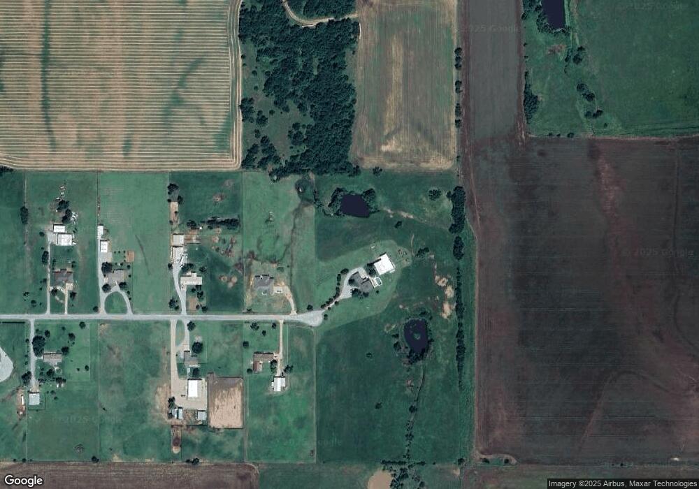
Map
Nearby Homes
- 920 S Gregory Rd
- 000 SW 15th St
- 2858 Fields Rd
- 15821 SW 26th St
- 3530 S Manning Rd
- 7465 Legacy Pointe Cir
- 3850 S Banner Rd
- 4747 Dutton Cir
- 8595 Kayce St
- 8626 Kayce St
- 8625 Kayce St
- 8655 Kayce St
- 8545 Kayce St
- 3490 Manning St
- 8664 Rip Way
- 8634 Rip Way
- 8604 Rip Way
- 8574 Rip Way
- 8454 Rip Way
- 8652 Beth Ln
- 16705 Prairie Cir
- 16740 Prairie Cir
- 16740 Prairie Cir
- 16799 Prairie Cir
- 16796 Prairie Cir
- 16845 Prairie Cir
- 16875 Prairie Cir
- 16888 Prairie Cir
- 16950 Prairie Cir
- 16941 Prairie Cir
- 16760 Homestead
- 16983 Prairie Cir
- 16988 Prairie Cir
- 16988 Prairie Cir
- 16830 Homestead
- 140 Single Tree
- 16860 Homestead St
- 16761 Homestead
- 16890 Homestead
- 16801 Homestead