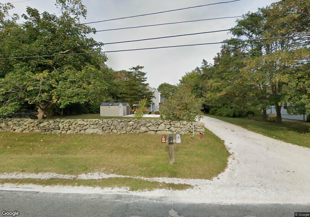
1668 Main Rd Westport, MA 02790
Westport Point NeighborhoodEstimated Value: $1,039,000 - $1,386,000
3
Beds
4
Baths
2,570
Sq Ft
$477/Sq Ft
Est. Value
About This Home
This home is located at 1668 Main Rd, Westport, MA 02790 and is currently estimated at $1,226,459, approximately $477 per square foot. 1668 Main Rd is a home located in Bristol County with nearby schools including Alice A. Macomber Primary School, Westport Elementary School, and Westport Middle-High School.
Ownership History
Date
Name
Owned For
Owner Type
Purchase Details
Closed on
Oct 15, 1992
Sold by
Margaret M Est Maher
Bought by
Haines Robert M and Brown Heather A
Current Estimated Value
Home Financials for this Owner
Home Financials are based on the most recent Mortgage that was taken out on this home.
Original Mortgage
$87,500
Interest Rate
7.93%
Mortgage Type
Purchase Money Mortgage
Create a Home Valuation Report for This Property
The Home Valuation Report is an in-depth analysis detailing your home's value as well as a comparison with similar homes in the area
Home Values in the Area
Average Home Value in this Area
Purchase History
| Date | Buyer | Sale Price | Title Company |
|---|---|---|---|
| Haines Robert M | $125,000 | -- |
Source: Public Records
Mortgage History
| Date | Status | Borrower | Loan Amount |
|---|---|---|---|
| Open | Haines Robert M | $150,500 | |
| Closed | Haines Robert M | $160,000 | |
| Closed | Haines Robert M | $125,000 | |
| Closed | Haines Robert M | $87,500 |
Source: Public Records
Tax History
| Year | Tax Paid | Tax Assessment Tax Assessment Total Assessment is a certain percentage of the fair market value that is determined by local assessors to be the total taxable value of land and additions on the property. | Land | Improvement |
|---|---|---|---|---|
| 2025 | $6,744 | $905,300 | $608,900 | $296,400 |
| 2024 | $6,345 | $820,800 | $531,300 | $289,500 |
| 2023 | $6,204 | $760,300 | $474,800 | $285,500 |
| 2022 | $5,816 | $685,900 | $424,800 | $261,100 |
| 2021 | $5,540 | $642,700 | $369,200 | $273,500 |
| 2020 | $4,717 | $559,500 | $354,400 | $205,100 |
| 2019 | $2,464 | $523,400 | $338,000 | $185,400 |
| 2018 | $4,492 | $564,900 | $363,500 | $201,400 |
| 2017 | $4,490 | $563,300 | $363,500 | $199,800 |
| 2016 | $4,280 | $541,100 | $363,500 | $177,600 |
| 2015 | $4,379 | $552,200 | $375,200 | $177,000 |
Source: Public Records
Map
Nearby Homes
- 2 Olin Howland Way
- 1702J Drift Rd
- 1702 Drift Rd
- 1371 Drift Rd
- 19 Seabury Ln
- 25 Quail Trail
- 920 Drift Rd
- 17 Quail Trail
- 255 John Dyer Rd
- 101 Adamsville Rd
- 245 John Dyer Rd
- 837 Main Road & Lot 2
- 304 Brayton Point Rd
- 8 Village Way
- 332 Division Rd
- 116 Amy Hart Path
- Lot 2 Horseneck Rd
- 31 Brookwood Dr
- 238-242 E Beach Rd
- 505 Long Hwy
- 1672 Main Rd
- 1656 Main Rd
- 1667 Main Rd Unit 2
- 1667 Main Rd Unit 1
- 1667 Main Rd Unit B
- 1667 Main Rd Unit A
- 1667 Main Rd Unit 1669
- 1667 Main Rd
- 1678 Main Rd
- 1664 Main Rd
- 1657 Main Rd
- 1655 Main Rd
- 1684 Main Rd
- 1646 Main Rd
- 1 Lana Ln Unit COOK
- 1 Lana Ln
- 1643 Main Rd
- 1634 Main Rd
- 1700 Main Rd
- 1704 Main Rd