1669 Brittany Ln Hoffman Estates, IL 60192
South Ridge NeighborhoodEstimated Value: $741,700 - $822,000
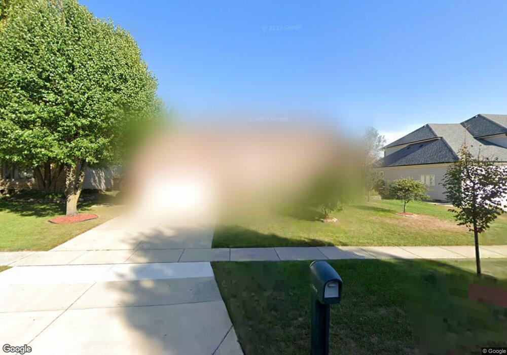
About This Home
This home is located at 1669 Brittany Ln, Hoffman Estates, IL 60192 and is currently estimated at $791,925, approximately $233 per square foot. 1669 Brittany Ln is a home located in Cook County with nearby schools including Thomas Jefferson Elementary School, Frank C. Whiteley Elementary School, and William Fremd High School.
Ownership History
We collect this data history from publicly available records. To have your information removed, we recommend requesting removal directly through your county’s website.
Purchase Details
Purchase Details
Home Values in the Area
Average Home Value in this Area
Purchase History
We collect this data history from publicly available records. To have your information removed, we recommend requesting removal directly through your county’s website.
| Date | Buyer | Sale Price | Title Company |
|---|---|---|---|
| $240,000 | Chicago Title Insurance Co | ||
| $335,000 | -- |
Tax History
We collect this data history from publicly available records. To have your information removed, we recommend requesting removal directly through your county’s website.
| Year | Tax Paid | Tax Assessment Tax Assessment Total Assessment is a certain percentage of the fair market value that is determined by local assessors to be the total taxable value of land and additions on the property. | Land | Improvement |
|---|---|---|---|---|
| 2025 | $13,660 | $71,001 | $11,583 | $59,418 |
| 2024 | $13,660 | $51,000 | $9,729 | $41,271 |
| 2023 | $13,160 | $51,000 | $9,729 | $41,271 |
| 2022 | $13,160 | $51,000 | $9,729 | $41,271 |
| 2021 | $14,402 | $46,803 | $5,791 | $41,012 |
| 2020 | $14,171 | $46,803 | $5,791 | $41,012 |
| 2019 | $13,972 | $51,717 | $5,791 | $45,926 |
| 2018 | $12,607 | $43,385 | $5,327 | $38,058 |
| 2017 | $14,120 | $48,991 | $5,327 | $43,664 |
| 2016 | $13,368 | $48,991 | $5,327 | $43,664 |
| 2015 | $13,479 | $46,150 | $4,864 | $41,286 |
| 2014 | $13,246 | $46,150 | $4,864 | $41,286 |
| 2013 | $12,883 | $46,150 | $4,864 | $41,286 |
Map
- 1659 Brittany Ln
- 1565 Freeman Rd
- 3780 Anjou Ln
- 3991 Whispering Trails Dr
- 3780 Bordeaux Dr
- 3895 Anjou Ln
- 4140 Portage Ln
- 28 Windemere Ln
- 1899 W Alder Dr
- 1341 W Sturbridge Dr
- 4310 Forest Glen Dr
- 1485 Westbury Dr
- 1120 Concord Ln
- 1005 W Firestone Dr
- 4515 Opal Dr
- 13 Chipping Campden Dr
- 4590 Topaz Dr
- 4691 Huntington Blvd
- 4692 N Sapphire Dr
- Lot 4 E Mundhank Rd
- 3900 Bernay Ln
- 3890 Bernay Ln
- 3910 Bernay Ln
- 1675 Brittany Ln
- 1679 Brittany Ln
- 3920 Bernay Ln
- 1605 Laburnum Rd
- 3880 Bernay Ln
- 1665 Brittany Ln
- 3885 Bernay Ln
- 1685 Brittany Ln
- 1600 Laburnum Rd
- 1660 Charlemagne Dr
- 1595 Laburnum Rd
- 3870 Bernay Ln
- 1680 Brittany Ln
- 3875 Bernay Ln
- 1674 Brittany Ln
- 1590 Laburnum Rd
- 1650 Charlemagne Dr
Ask me questions while you tour the home.