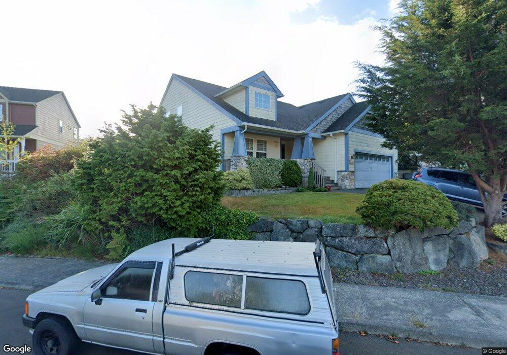
1669 Laurel Dr Seaside, OR 97138
Estimated Value: $604,000 - $661,000
2
Beds
2
Baths
1,695
Sq Ft
$367/Sq Ft
Est. Value
About This Home
This home is located at 1669 Laurel Dr, Seaside, OR 97138 and is currently estimated at $622,880, approximately $367 per square foot. 1669 Laurel Dr is a home located in Clatsop County with nearby schools including Seaside High School.
Ownership History
Date
Name
Owned For
Owner Type
Purchase Details
Closed on
Oct 4, 2021
Sold by
Cooper Pamela Jill and Pamela Jill Cooper Living Trus
Bought by
Cooper Pamela Jill
Current Estimated Value
Home Financials for this Owner
Home Financials are based on the most recent Mortgage that was taken out on this home.
Original Mortgage
$450,000
Interest Rate
2.37%
Mortgage Type
Adjustable Rate Mortgage/ARM
Purchase Details
Closed on
Jan 16, 2015
Sold by
Cooper Pamela Jill and Cooper Hayes Pamela
Bought by
Cooper Pamela Jill and Pamela Jill Cooper Living Trust
Purchase Details
Closed on
Apr 2, 2014
Sold by
Cooper Pamela J
Bought by
Cooper Hayes Pamela
Home Financials for this Owner
Home Financials are based on the most recent Mortgage that was taken out on this home.
Original Mortgage
$230,250
Interest Rate
3.87%
Mortgage Type
Adjustable Rate Mortgage/ARM
Create a Home Valuation Report for This Property
The Home Valuation Report is an in-depth analysis detailing your home's value as well as a comparison with similar homes in the area
Purchase History
| Date | Buyer | Sale Price | Title Company |
|---|---|---|---|
| Cooper Pamela Jill | -- | Ticor | |
| Cooper Pamela Jill | -- | None Available | |
| Cooper Hayes Pamela | -- | Ticor Title Ins Co |
Source: Public Records
Mortgage History
| Date | Status | Borrower | Loan Amount |
|---|---|---|---|
| Closed | Cooper Pamela Jill | $450,000 | |
| Closed | Cooper Hayes Pamela | $230,250 |
Source: Public Records
Tax History
| Year | Tax Paid | Tax Assessment Tax Assessment Total Assessment is a certain percentage of the fair market value that is determined by local assessors to be the total taxable value of land and additions on the property. | Land | Improvement |
|---|---|---|---|---|
| 2025 | $4,658 | $324,169 | -- | -- |
| 2024 | $4,521 | $314,729 | -- | -- |
| 2023 | $4,388 | $305,563 | $0 | $0 |
| 2022 | $4,268 | $296,664 | $0 | $0 |
| 2021 | $4,177 | $288,025 | $0 | $0 |
| 2020 | $4,080 | $279,637 | $0 | $0 |
| 2019 | $3,969 | $271,493 | $0 | $0 |
Source: Public Records
Map
Nearby Homes
- 1295 Jeffrey Dr
- 0 Spruce Dr Unit 682748764
- VL Spruce Dr
- 0 Way
- 360 Hilltop Dr
- 1659 Whispering Pines Dr
- Vacant Alpine St
- 0 Alpine St Unit 601537278
- 1265 Avenue D
- 1269 Avenue D
- 1151 S Irvine Place
- 85863 Highway 101
- 1255 Avenue A Unit 1 and 2
- 1255 Avenue A
- 84800 U S 101
- 0 Avenue S Unit Lot 29W
- 0 Avenue S Unit Lot 29E
- 0 Avenue S
- 1108 S Holladay Dr Unit 14
- 1108 S Holladay Dr Unit 16
- 1659 Laurel Dr
- 1654 Laurel Dr
- 1999 Huckleberry Dr
- 2009 Huckleberry Dr
- 1679 Laurel Dr
- 1664 Laurel Dr
- 1779 Cooper St
- 1789 Cooper St
- 1969 Huckleberry Dr
- 2019 Huckleberry Dr
- 1674 Laurel Dr
- 1959 Huckleberry Dr
- 1685 Cooper St
- 1939 Huckleberry Dr
- 2029 Huckleberry Dr
- 1821 Cooper St
- 1929 Huckleberry Dr
- 1919 Huckleberry Dr
- 1885 Huckleberry Dr
- 1909 Huckleberry Dr
Your Personal Tour Guide
Ask me questions while you tour the home.