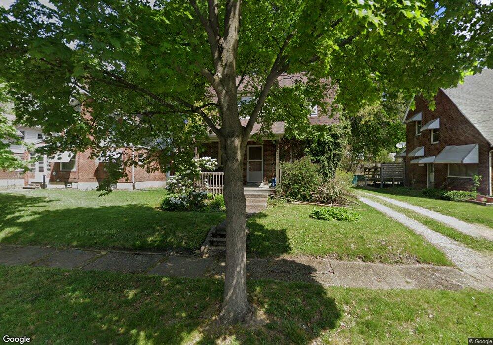
1669 Preston Ave Akron, OH 44305
Goodyear Heights NeighborhoodEstimated Value: $100,206 - $121,000
2
Beds
1
Bath
1,088
Sq Ft
$101/Sq Ft
Est. Value
About This Home
This home is located at 1669 Preston Ave, Akron, OH 44305 and is currently estimated at $110,302, approximately $101 per square foot. 1669 Preston Ave is a home located in Summit County with nearby schools including Seiberling Community Learning Center, Akron Preparatory school, and Middlebury Academy.
Ownership History
Date
Name
Owned For
Owner Type
Purchase Details
Closed on
Mar 22, 1996
Sold by
Douvikas Michael
Bought by
Hite Jason L
Current Estimated Value
Home Financials for this Owner
Home Financials are based on the most recent Mortgage that was taken out on this home.
Original Mortgage
$40,000
Outstanding Balance
$1,574
Interest Rate
7.06%
Mortgage Type
New Conventional
Estimated Equity
$108,728
Purchase Details
Closed on
Jan 13, 1995
Sold by
Laktash George J
Bought by
Douvikas Michael and Douvikas Lisa
Create a Home Valuation Report for This Property
The Home Valuation Report is an in-depth analysis detailing your home's value as well as a comparison with similar homes in the area
Home Values in the Area
Average Home Value in this Area
Purchase History
| Date | Buyer | Sale Price | Title Company |
|---|---|---|---|
| Hite Jason L | $47,100 | -- | |
| Douvikas Michael | $17,000 | -- |
Source: Public Records
Mortgage History
| Date | Status | Borrower | Loan Amount |
|---|---|---|---|
| Open | Hite Jason L | $40,000 |
Source: Public Records
Tax History Compared to Growth
Tax History
| Year | Tax Paid | Tax Assessment Tax Assessment Total Assessment is a certain percentage of the fair market value that is determined by local assessors to be the total taxable value of land and additions on the property. | Land | Improvement |
|---|---|---|---|---|
| 2025 | $1,399 | $25,498 | $7,298 | $18,200 |
| 2024 | $1,399 | $25,498 | $7,298 | $18,200 |
| 2023 | $1,399 | $25,498 | $7,298 | $18,200 |
| 2022 | $1,272 | $18,085 | $5,177 | $12,908 |
| 2021 | $1,273 | $18,085 | $5,177 | $12,908 |
| 2020 | $1,254 | $18,090 | $5,180 | $12,910 |
| 2019 | $1,340 | $17,650 | $5,220 | $12,430 |
| 2018 | $1,323 | $17,650 | $5,220 | $12,430 |
| 2017 | $1,418 | $17,650 | $5,220 | $12,430 |
| 2016 | $1,419 | $17,650 | $5,220 | $12,430 |
| 2015 | $1,418 | $17,650 | $5,220 | $12,430 |
| 2014 | $1,407 | $17,650 | $5,220 | $12,430 |
| 2013 | $1,495 | $19,320 | $5,220 | $14,100 |
Source: Public Records
Map
Nearby Homes
- 1837 Marks Ave
- 1551 Preston Ave
- 1726 Shaw Ave
- 1792 Malasia Rd
- 1598 Pilgrim St
- 1508 Malasia Rd
- 1769 Flint Ave
- 1874 Adelaide Blvd
- 1818 Flint Ave
- 1483 Preston Ave
- 1796 Newton St
- 1490 Hillside Terrace
- 1826 Ford Ave
- 248 Malacca St
- 1892 Malasia Rd
- 249 Malacca St
- 465 Saint Leger Ave
- 1947 Preston Ave Unit 1949
- 1604 Ottawa Ave
- 1442 Newton St
- 1665 Preston Ave
- 1675 Preston Ave
- 1659 Preston Ave
- 1670 Malasia Rd
- 236 Watson St
- 1679 Preston Ave
- 1666 Malasia Rd
- 1676 Malasia Rd
- 1655 Preston Ave
- 242 Watson St
- 1660 Malasia Rd
- 1670 Preston Ave
- 1664 Preston Ave
- 1676 Preston Ave
- 218 Watson St
- 1656 Malasia Rd
- 1649 Preston Ave
- 1684 Malasia Rd
- 1660 Preston Ave
- 1656 Preston Ave