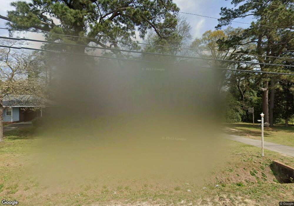
1669 Upper River Rd Macon, GA 31211
Estimated Value: $110,000 - $144,000
2
Beds
1
Bath
1,372
Sq Ft
$90/Sq Ft
Est. Value
About This Home
This home is located at 1669 Upper River Rd, Macon, GA 31211 and is currently estimated at $123,398, approximately $89 per square foot. 1669 Upper River Rd is a home located in Bibb County with nearby schools including Martin Luther King Jr. Elementary School, Appling Middle School, and Northeast High School.
Ownership History
Date
Name
Owned For
Owner Type
Purchase Details
Closed on
Sep 17, 2024
Sold by
Yates Melvin D
Bought by
Yates Melvin D
Current Estimated Value
Purchase Details
Closed on
Jun 19, 2012
Sold by
Yates Melvin Durwood and Yates Pamela Stanley
Bought by
Yates Melvin Durwood
Purchase Details
Closed on
Jun 2, 2006
Sold by
Yates Pamela Stanely
Bought by
Yates Pamela Stanley
Purchase Details
Closed on
Dec 8, 1998
Sold by
Stanley Reese S By Extr
Bought by
Stanley Julia Ward
Create a Home Valuation Report for This Property
The Home Valuation Report is an in-depth analysis detailing your home's value as well as a comparison with similar homes in the area
Purchase History
| Date | Buyer | Sale Price | Title Company |
|---|---|---|---|
| Yates Melvin D | -- | None Listed On Document | |
| Yates Melvin Durwood | -- | None Available | |
| Yates Pamela Stanley | -- | None Avilebel | |
| Stanley Julia Ward | -- | -- |
Source: Public Records
Tax History
| Year | Tax Paid | Tax Assessment Tax Assessment Total Assessment is a certain percentage of the fair market value that is determined by local assessors to be the total taxable value of land and additions on the property. | Land | Improvement |
|---|---|---|---|---|
| 2025 | $908 | $36,945 | $4,056 | $32,889 |
| 2024 | $854 | $33,607 | $3,120 | $30,487 |
| 2023 | $995 | $33,607 | $3,120 | $30,487 |
| 2022 | $1,239 | $35,795 | $6,833 | $28,962 |
| 2021 | $935 | $24,618 | $6,101 | $18,517 |
| 2020 | $956 | $24,618 | $6,101 | $18,517 |
| 2019 | $964 | $24,618 | $6,101 | $18,517 |
| 2018 | $1,656 | $24,618 | $6,101 | $18,517 |
| 2017 | $922 | $24,618 | $6,101 | $18,517 |
| 2016 | $746 | $21,567 | $3,050 | $18,517 |
| 2015 | $1,056 | $21,567 | $3,050 | $18,517 |
| 2014 | $405 | $21,567 | $3,050 | $18,517 |
Source: Public Records
Map
Nearby Homes
- 1715 Foster Place
- 1987 Long Ridge Dr
- 1976 Long Ridge Dr
- 1971 Long Ridge Dr
- 1735 Foster Place
- 1972 Wood Valley Rd
- 1954 Wood Valley Rd
- 1978 Wood Valley Rd
- 1898 Wood Valley Rd
- 1746 Hamilton Dr
- 1949 Deerwood Place
- 1485 Lone Oak Dr
- 1825 Flintwood Dr
- 1154 Davis Cir
- 1174 Davis St E
- 1916 Flintwood Dr
- 1435 Twin Pines Dr
- 1049 Boulevard
- 1392 Fort Hill St
- 1881 Kitchens Rd
- 1673 Upper River Rd
- 1677 Upper River Rd
- 1813 Long Ridge Dr
- 1662 Long Ridge Dr
- 1681 Upper River Rd
- 1653 Upper River Rd
- 1817 Long Ridge Dr
- 1670 Long Ridge Dr
- 1818 Springwood Dr
- 1685 Upper River Rd
- 1826 Springwood Dr
- 0 Upper River Rd Unit 8064575
- 0 Upper River Rd Unit M162020
- 1687 Upper River Rd
- 1678 Long Ridge Dr
- 1818 Long Ridge Dr
- 1821 Long Ridge Dr
- 1834 Springwood Dr
- 1697 Upper River Rd
- 1690 Upper River Rd
Your Personal Tour Guide
Ask me questions while you tour the home.