1669 William Smith Rd Elberton, GA 30635
Estimated Value: $429,000 - $664,000
2
Beds
2
Baths
1,600
Sq Ft
$341/Sq Ft
Est. Value
About This Home
This home is located at 1669 William Smith Rd, Elberton, GA 30635 and is currently estimated at $545,921, approximately $341 per square foot. 1669 William Smith Rd is a home located in Elbert County with nearby schools including Elbert County Primary School, Elbert County Elementary School, and Elbert County Middle School.
Ownership History
Date
Name
Owned For
Owner Type
Purchase Details
Closed on
Feb 28, 2005
Sold by
Gunn Donald E
Bought by
Colbert John Michael and Colbert Brenda W
Current Estimated Value
Home Financials for this Owner
Home Financials are based on the most recent Mortgage that was taken out on this home.
Original Mortgage
$217,550
Outstanding Balance
$110,219
Interest Rate
5.6%
Estimated Equity
$435,702
Purchase Details
Closed on
Feb 12, 2001
Sold by
Francis David A
Bought by
Colbert John Michael and Colbert Brenda W
Purchase Details
Closed on
Jun 25, 1999
Sold by
Harper Agnes H
Bought by
Smith Pat W
Purchase Details
Closed on
May 8, 1999
Sold by
Mccormick Agnes H
Bought by
Gunn Donald E
Purchase Details
Closed on
Nov 1, 1978
Create a Home Valuation Report for This Property
The Home Valuation Report is an in-depth analysis detailing your home's value as well as a comparison with similar homes in the area
Home Values in the Area
Average Home Value in this Area
Purchase History
| Date | Buyer | Sale Price | Title Company |
|---|---|---|---|
| Colbert John Michael | $229,000 | -- | |
| Colbert John Michael | $78,500 | -- | |
| Smith Pat W | -- | -- | |
| Gunn Donald E | -- | -- | |
| -- | -- | -- |
Source: Public Records
Mortgage History
| Date | Status | Borrower | Loan Amount |
|---|---|---|---|
| Open | Colbert John Michael | $217,550 |
Source: Public Records
Tax History Compared to Growth
Tax History
| Year | Tax Paid | Tax Assessment Tax Assessment Total Assessment is a certain percentage of the fair market value that is determined by local assessors to be the total taxable value of land and additions on the property. | Land | Improvement |
|---|---|---|---|---|
| 2024 | $2,583 | $193,621 | $100,925 | $92,696 |
| 2023 | $2,568 | $193,621 | $100,925 | $92,696 |
| 2022 | $2,385 | $139,680 | $60,869 | $78,811 |
| 2021 | $2,375 | $139,680 | $60,869 | $78,811 |
| 2020 | $2,521 | $134,129 | $60,869 | $73,260 |
| 2019 | $2,620 | $134,129 | $60,869 | $73,260 |
| 2018 | $2,267 | $134,129 | $60,869 | $73,260 |
| 2017 | $2,870 | $123,941 | $50,721 | $73,220 |
| 2016 | $2,665 | $123,941 | $50,721 | $73,220 |
| 2015 | -- | $123,452 | $50,232 | $73,220 |
| 2014 | -- | $123,452 | $50,232 | $73,220 |
| 2013 | -- | $123,452 | $50,232 | $73,220 |
Source: Public Records
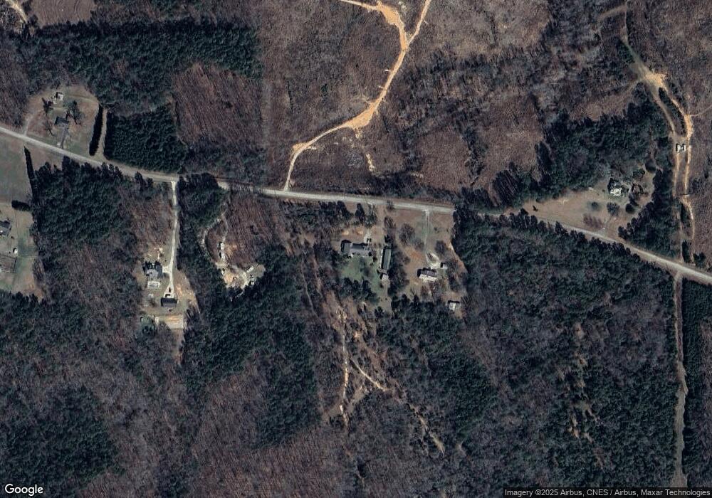
Map
Nearby Homes
- 2126 Amberly Rd
- 1859 William Smith Rd
- 2166 Far A Way Rd
- 2154 Far-A-way Rd
- 0 Far-A-way Rd
- 0 Far-A-way Rd Unit 1026251
- 0 Anderson Hwy Unit 24629664
- 0 Anderson Hwy Unit 10536298
- 2920 Ruckersville Rd
- 2193 Ruckersville Rd
- 1661 G R Hayes Dr
- 1912 Ruckersville
- 0 Harmony Rd Unit 18771344
- 2316 Payton Dr
- 2917 Ruckersville Rd
- 0 Pine Ridge Dr Unit LotWP001
- 0 Allen Logan Rd Unit 22671131
- 2946 Rock Branch Rd
- 0 Paul Motes Rd Unit 10631596
- 0 Pickens Point Dr Unit CL337116
- 1679 William Smith Rd
- 1641 William Smith Rd
- 1633 William Smith Rd
- 1710 William Smith Rd
- 1610 William Smith Rd
- 1593 William Smith Rd
- 1579 William Smith Rd
- 2135 Luther Burton Rd
- 1798 William Smith Rd
- 2161 Luther Burton Rd
- 2233 Mutt Ward Rd
- 1547 William Smith Rd
- 2185 Luther Burton Rd
- 1746 Tobe Wells Rd
- 1690 Tobe Wells Rd
- 2160 Luther Burton Rd
- 2184 Luther Burton Rd
- 2184 Luther Burton Rd
- 1543 William Smith Rd
- 2209 Luther Burton Rd