167 30th St Unit A Clear Lake, WI 54005
Estimated Value: $176,310 - $230,000
--
Bed
--
Bath
--
Sq Ft
5.9
Acres
About This Home
This home is located at 167 30th St Unit A, Clear Lake, WI 54005 and is currently estimated at $203,103. 167 30th St Unit A is a home located in Polk County with nearby schools including Clear Lake High School.
Ownership History
Date
Name
Owned For
Owner Type
Purchase Details
Closed on
Oct 25, 2021
Sold by
Kearney Steven M and Kearney Barbara J
Bought by
Kearney Steven M and Kearney Barbara J
Current Estimated Value
Purchase Details
Closed on
May 13, 2019
Sold by
Hillstead Richard A and Hillstead Lorraine L
Bought by
Kearney Steven M and Kearney Barbara J
Home Financials for this Owner
Home Financials are based on the most recent Mortgage that was taken out on this home.
Original Mortgage
$55,000
Interest Rate
7.38%
Mortgage Type
New Conventional
Purchase Details
Closed on
Mar 2, 2005
Sold by
Hillstead Richard A
Bought by
Lehmann Melissa J
Create a Home Valuation Report for This Property
The Home Valuation Report is an in-depth analysis detailing your home's value as well as a comparison with similar homes in the area
Home Values in the Area
Average Home Value in this Area
Purchase History
| Date | Buyer | Sale Price | Title Company |
|---|---|---|---|
| Kearney Steven M | $31,200 | None Available | |
| Kearney Steven M | -- | Knight Barry Title | |
| Lehmann Melissa J | -- | -- |
Source: Public Records
Mortgage History
| Date | Status | Borrower | Loan Amount |
|---|---|---|---|
| Previous Owner | Kearney Steven M | $55,000 | |
| Closed | Lehmann Melissa J | $0 |
Source: Public Records
Tax History Compared to Growth
Tax History
| Year | Tax Paid | Tax Assessment Tax Assessment Total Assessment is a certain percentage of the fair market value that is determined by local assessors to be the total taxable value of land and additions on the property. | Land | Improvement |
|---|---|---|---|---|
| 2024 | $1,457 | $93,600 | $28,300 | $65,300 |
| 2023 | $1,333 | $93,600 | $28,300 | $65,300 |
| 2022 | $1,321 | $93,600 | $28,300 | $65,300 |
| 2021 | $1,299 | $93,600 | $28,300 | $65,300 |
| 2020 | $1,488 | $76,300 | $19,900 | $56,400 |
| 2019 | $1,393 | $76,300 | $19,900 | $56,400 |
| 2018 | $1,688 | $73,000 | $19,900 | $53,100 |
| 2017 | $1,284 | $73,000 | $19,900 | $53,100 |
| 2016 | $1,305 | $73,000 | $19,900 | $53,100 |
| 2015 | $1,329 | $73,000 | $19,900 | $53,100 |
| 2013 | $1,343 | $73,000 | $19,900 | $53,100 |
| 2012 | $1,299 | $73,000 | $19,900 | $53,100 |
Source: Public Records
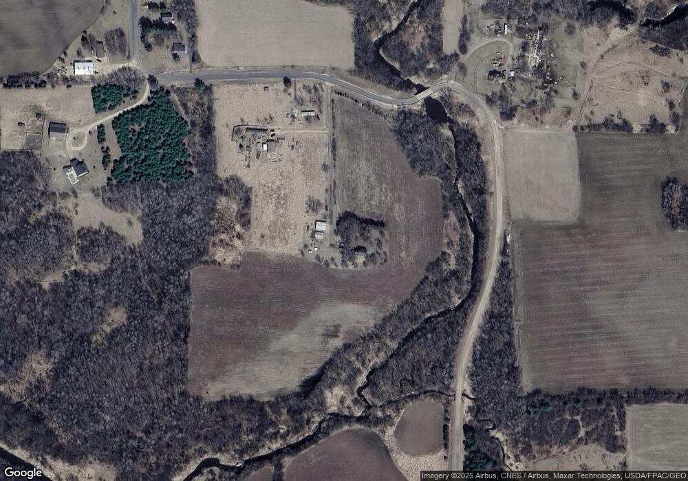
Map
Nearby Homes
- 338 40th St
- 230 1st Ave E
- 30 10th St
- 990 3rd St SW
- 240 3rd Ave
- 245 1st Ave W
- 260 Pershing Ave
- 385 1st Ave W
- 240 5th Place NW
- 41 County Line Ave
- 160 US Highway 63
- 2389 Us Highway 63
- 659 30th Ave
- TBD County Highway Pi
- Xxx County Road P
- 67 60th Ave
- 765 Us Highway 63
- 773 Us Highway 63
- 319 1st Ave
- 1920 Cty Rd P
- 167 30th St
- 169 30th St
- 162 30th St
- 171 30th St
- 81.83 Acres 10th Street St
- 81.83 Acres 10th St
- 0 3 4 Ave Unit 6267736
- 0 Lot 7 64th St Unit 6196963
- 176 30th St
- 173 30th St
- 129 30th St
- xxx 60th Ave
- 0 4th St Unit 3814963
- 0 Unassigned Address Unit 3944008
- 0 Unassigned Address Unit 3941456
- 640 Main St
- 0 Unassigned Address Unit 3605314
- 0 Unassigned Address Unit 3490300
- 153 153 1st-Avenue-w
- 0 4th St Unit 633026