167 Allardice Rd Somerset, MA 02726
Pottersville NeighborhoodEstimated Value: $535,000 - $597,000
4
Beds
2
Baths
1,952
Sq Ft
$290/Sq Ft
Est. Value
About This Home
This home is located at 167 Allardice Rd, Somerset, MA 02726 and is currently estimated at $565,260, approximately $289 per square foot. 167 Allardice Rd is a home located in Bristol County with nearby schools including North Elementary School, Somerset Middle School, and Swansea Wood School.
Ownership History
Date
Name
Owned For
Owner Type
Purchase Details
Closed on
Nov 8, 2024
Sold by
Moniz Isaura M
Bought by
Moniz Robert and Moniz Isaura M
Current Estimated Value
Purchase Details
Closed on
Aug 31, 1983
Bought by
Moniz Robert R and Moniz Isaura M
Create a Home Valuation Report for This Property
The Home Valuation Report is an in-depth analysis detailing your home's value as well as a comparison with similar homes in the area
Home Values in the Area
Average Home Value in this Area
Purchase History
| Date | Buyer | Sale Price | Title Company |
|---|---|---|---|
| Moniz Robert | -- | None Available | |
| Moniz Robert | -- | None Available | |
| Moniz Robert | -- | None Available | |
| Moniz Robert R | $61,000 | -- |
Source: Public Records
Tax History Compared to Growth
Tax History
| Year | Tax Paid | Tax Assessment Tax Assessment Total Assessment is a certain percentage of the fair market value that is determined by local assessors to be the total taxable value of land and additions on the property. | Land | Improvement |
|---|---|---|---|---|
| 2025 | $6,247 | $469,700 | $184,400 | $285,300 |
| 2024 | $5,864 | $458,500 | $184,400 | $274,100 |
| 2023 | $5,180 | $408,500 | $160,300 | $248,200 |
| 2022 | $4,796 | $360,900 | $138,900 | $222,000 |
| 2021 | $4,839 | $329,600 | $125,900 | $203,700 |
| 2020 | $4,808 | $315,900 | $127,200 | $188,700 |
| 2019 | $5,428 | $297,400 | $127,200 | $170,200 |
| 2018 | $4,654 | $274,400 | $123,700 | $150,700 |
| 2017 | $4,547 | $261,300 | $118,000 | $143,300 |
| 2016 | $4,575 | $261,300 | $118,000 | $143,300 |
| 2015 | $4,261 | $245,600 | $112,700 | $132,900 |
| 2014 | $5,900 | $244,300 | $109,400 | $134,900 |
Source: Public Records
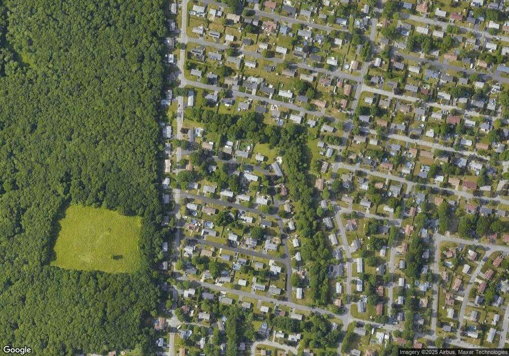
Map
Nearby Homes
- 601 Eastview Ave
- 112 Rounseville Ave
- 64 Midland Rd
- 95 Brookside Rd
- 69 Denham Ave
- 604 Lafayette St
- 64 Denham Ave
- 190 Gibbs St
- 224 Chace St
- 2546 County St
- 65 Marvel St
- 154 Tess Abigail Ln
- 138 Bourn Ave
- 34 Barry Ave
- 435 Fairway Dr
- 107 Manchester Ave
- 259 Lynch Ave
- 0 Bark St Unit 73152576
- 0 Bark St Unit 1342599
- 239 Maple St