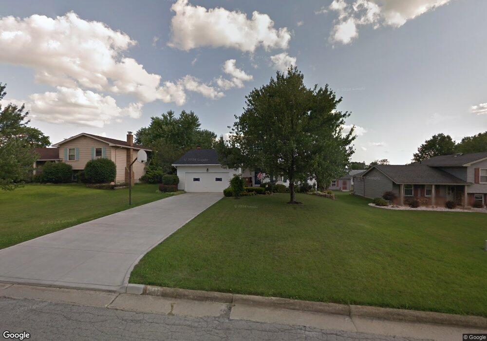
167 Carter Cir Youngstown, OH 44512
Estimated Value: $272,000 - $325,000
4
Beds
3
Baths
2,464
Sq Ft
$118/Sq Ft
Est. Value
About This Home
This home is located at 167 Carter Cir, Youngstown, OH 44512 and is currently estimated at $290,540, approximately $117 per square foot. 167 Carter Cir is a home located in Mahoning County with nearby schools including Stadium Drive Elementary School, Boardman Center Middle School, and Boardman High School.
Ownership History
Date
Name
Owned For
Owner Type
Purchase Details
Closed on
Feb 13, 2025
Sold by
Mills William M and Mills Margaret L
Bought by
Mills William M and Mills Margaret L
Current Estimated Value
Purchase Details
Closed on
May 30, 1979
Bought by
Mills William M and Mills Mgt L
Create a Home Valuation Report for This Property
The Home Valuation Report is an in-depth analysis detailing your home's value as well as a comparison with similar homes in the area
Home Values in the Area
Average Home Value in this Area
Purchase History
| Date | Buyer | Sale Price | Title Company |
|---|---|---|---|
| Mills William M | -- | None Listed On Document | |
| Mills William M | -- | None Listed On Document | |
| Mills William M | -- | -- |
Source: Public Records
Tax History
| Year | Tax Paid | Tax Assessment Tax Assessment Total Assessment is a certain percentage of the fair market value that is determined by local assessors to be the total taxable value of land and additions on the property. | Land | Improvement |
|---|---|---|---|---|
| 2025 | $3,510 | $80,450 | $9,790 | $70,660 |
| 2024 | $3,609 | $80,450 | $9,790 | $70,660 |
| 2023 | $3,591 | $80,450 | $9,790 | $70,660 |
| 2022 | $3,692 | $64,870 | $9,790 | $55,080 |
| 2021 | $3,695 | $64,870 | $9,790 | $55,080 |
| 2020 | $3,714 | $64,870 | $9,790 | $55,080 |
| 2019 | $3,210 | $51,490 | $7,770 | $43,720 |
| 2018 | $2,784 | $51,490 | $7,770 | $43,720 |
| 2017 | $3,297 | $51,490 | $7,770 | $43,720 |
| 2016 | $2,896 | $44,710 | $7,770 | $36,940 |
| 2015 | $2,839 | $44,710 | $7,770 | $36,940 |
| 2014 | $2,847 | $44,710 | $7,770 | $36,940 |
| 2013 | $2,811 | $44,710 | $7,770 | $36,940 |
Source: Public Records
Map
Nearby Homes
- 178 Carter Cir
- 101 Creston Dr
- 1242 W Western Reserve Rd
- 0 W Western Reserve Rd Unit 5188999
- 454 Garver Dr
- 62 E Western Reserve Rd Unit 3
- 156 Roche Way
- 9264 Sharrott Rd Unit 1001
- 9264 Sharrott Rd Unit 801
- 9264 Sharrott Rd Unit 1002
- 506 Garden Valley Ct
- 8218 Maramont Dr Unit B
- 9140 Woodworth Rd
- 123 Mayflower Dr
- 1594 W Western Reserve Rd
- Lot 36 Berklee Dr
- 524 Berklee Dr
- 8230 Stadler Ave
- 331 Warren Ave
- 363 Maple Dr
- 163 Carter Cir
- 171 Carter Cir
- 168 Runnemede Dr
- 159 Carter Cir
- 175 Carter Cir
- 164 Runnemede Dr
- 172 Runnemede Dr
- 166 Carter Cir
- 170 Carter Cir
- 162 Carter Cir
- 176 Runnemede Dr
- 160 Runnemede Dr
- 155 Carter Cir
- 179 Carter Cir
- 174 Carter Cir
- 156 Runnemede Dr
- 178 Runnemede Dr
- 154 Carter Cir
- 151 Carter Cir
- 183 Carter Cir
Your Personal Tour Guide
Ask me questions while you tour the home.