167 Cove Rd Cordele, GA 31015
Estimated Value: $298,000 - $336,000
3
Beds
2
Baths
1,549
Sq Ft
$202/Sq Ft
Est. Value
About This Home
This home is located at 167 Cove Rd, Cordele, GA 31015 and is currently estimated at $312,564, approximately $201 per square foot. 167 Cove Rd is a home with nearby schools including Crisp County Elementary School, Crisp County Primary School, and Crisp County Middle School.
Ownership History
Date
Name
Owned For
Owner Type
Purchase Details
Closed on
Aug 20, 2015
Sold by
Merritt Harry G
Bought by
Broadaway Dustin A and Copeland Chelsey L
Current Estimated Value
Home Financials for this Owner
Home Financials are based on the most recent Mortgage that was taken out on this home.
Original Mortgage
$168,367
Outstanding Balance
$132,689
Interest Rate
4.09%
Mortgage Type
New Conventional
Estimated Equity
$179,875
Purchase Details
Closed on
Feb 6, 2015
Sold by
Merritt John S
Bought by
Merritt Harry G
Purchase Details
Closed on
Oct 16, 2008
Sold by
Lakeshore Acres Llc
Bought by
Merritt Harry G and Dunn John S
Create a Home Valuation Report for This Property
The Home Valuation Report is an in-depth analysis detailing your home's value as well as a comparison with similar homes in the area
Home Values in the Area
Average Home Value in this Area
Purchase History
| Date | Buyer | Sale Price | Title Company |
|---|---|---|---|
| Broadaway Dustin A | $165,000 | -- | |
| Merritt Harry G | -- | -- | |
| Merritt Harry G | $7,100 | -- |
Source: Public Records
Mortgage History
| Date | Status | Borrower | Loan Amount |
|---|---|---|---|
| Open | Broadaway Dustin A | $168,367 |
Source: Public Records
Tax History Compared to Growth
Tax History
| Year | Tax Paid | Tax Assessment Tax Assessment Total Assessment is a certain percentage of the fair market value that is determined by local assessors to be the total taxable value of land and additions on the property. | Land | Improvement |
|---|---|---|---|---|
| 2024 | $2,998 | $110,734 | $18,000 | $92,734 |
| 2023 | $1,927 | $68,614 | $8,800 | $59,814 |
| 2022 | $1,882 | $67,012 | $8,800 | $58,212 |
| 2021 | $1,885 | $63,556 | $8,800 | $54,756 |
| 2020 | $1,887 | $63,556 | $8,800 | $54,756 |
| 2019 | $1,875 | $63,556 | $8,800 | $54,756 |
| 2018 | $1,780 | $58,112 | $6,000 | $52,112 |
| 2017 | $1,787 | $58,112 | $6,000 | $52,112 |
| 2016 | $1,776 | $57,845 | $3,600 | $54,245 |
Source: Public Records
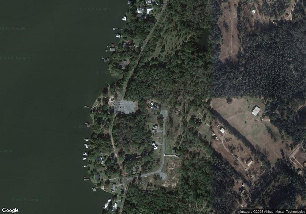
Map
Nearby Homes
- 120 Cove Rd
- 199 Hurt Dr
- 620 Lakeshore Dr
- 484 Lakeshore Way
- 480 Spring Creek Rd
- 1022 Flournoy Rd
- 484 Spring Creek Rd
- 636 Spring Creek Rd
- 888 Flournoy Rd
- 000 Lakeshore Way
- 0 Swift Creek Rd Unit 138425
- 118 Swift Creek Rd
- Lot 15 Georgia-Florida Pkwy
- 696 Cork Ferry Rd
- 0 Power Dam Rd
- 276 Lakeshore Way
- 616 Cork Ferry Rd
- 144 Bryant Rd
- 738 Cork Ferry Rd
- 198 Swift Creek Rd