167 E Thompson St Bogart, GA 30622
Estimated Value: $402,000 - $458,000
--
Bed
--
Bath
2,099
Sq Ft
$205/Sq Ft
Est. Value
About This Home
This home is located at 167 E Thompson St, Bogart, GA 30622 and is currently estimated at $431,053, approximately $205 per square foot. 167 E Thompson St is a home with nearby schools including Malcom Bridge Elementary School, Malcom Bridge Middle School, and North Oconee High School.
Ownership History
Date
Name
Owned For
Owner Type
Purchase Details
Closed on
Dec 26, 2006
Sold by
Not Provided
Bought by
Birt Linda
Current Estimated Value
Home Financials for this Owner
Home Financials are based on the most recent Mortgage that was taken out on this home.
Original Mortgage
$129,629
Outstanding Balance
$76,817
Interest Rate
6.06%
Mortgage Type
New Conventional
Estimated Equity
$354,236
Purchase Details
Closed on
Dec 27, 2002
Sold by
Mcelroy John Richar
Bought by
Brown Norma Jean
Purchase Details
Closed on
Jan 10, 1997
Sold by
Birt Birt B and Birt Stonewall
Bought by
Mcelroy John Richar
Purchase Details
Closed on
Sep 13, 1995
Bought by
Birt Birt B and Birt Stonewall
Purchase Details
Closed on
May 27, 1994
Bought by
Moss Dwight D
Create a Home Valuation Report for This Property
The Home Valuation Report is an in-depth analysis detailing your home's value as well as a comparison with similar homes in the area
Home Values in the Area
Average Home Value in this Area
Purchase History
| Date | Buyer | Sale Price | Title Company |
|---|---|---|---|
| Birt Linda | $128,000 | -- | |
| Brown Norma Jean | -- | -- | |
| Mcelroy John Richar | $10,200 | -- | |
| Birt Birt B | $12,000 | -- | |
| Moss Dwight D | $7,500 | -- |
Source: Public Records
Mortgage History
| Date | Status | Borrower | Loan Amount |
|---|---|---|---|
| Open | Birt Linda | $129,629 |
Source: Public Records
Tax History Compared to Growth
Tax History
| Year | Tax Paid | Tax Assessment Tax Assessment Total Assessment is a certain percentage of the fair market value that is determined by local assessors to be the total taxable value of land and additions on the property. | Land | Improvement |
|---|---|---|---|---|
| 2024 | $2,781 | $138,226 | $16,000 | $122,226 |
| 2023 | $2,951 | $132,166 | $16,000 | $116,166 |
| 2022 | $2,876 | $118,191 | $16,000 | $102,191 |
| 2021 | $2,876 | $104,949 | $12,000 | $92,949 |
| 2020 | $2,657 | $100,547 | $12,000 | $88,547 |
| 2019 | $2,595 | $97,870 | $12,000 | $85,870 |
| 2018 | $2,551 | $94,474 | $12,000 | $82,474 |
| 2017 | $2,349 | $87,093 | $12,000 | $75,093 |
| 2016 | $2,277 | $84,491 | $10,800 | $73,691 |
| 2015 | $2,261 | $83,801 | $10,800 | $73,001 |
| 2014 | $2,227 | $80,913 | $10,800 | $70,113 |
| 2013 | -- | $78,576 | $10,800 | $67,776 |
Source: Public Records
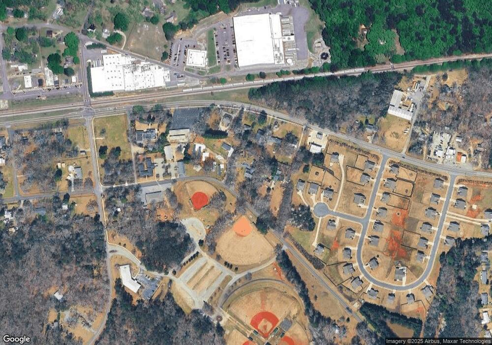
Map
Nearby Homes
- 119 S Church St
- 1715 Whistling Creek Crossing Unit Lot 21
- 159 Pine Valley Rd
- 2188 Day Dr
- 1811 McNutt Creek Rd
- 1851 McNutt Creek Rd
- 325 Twin Oaks Cir
- 1216 Ray's River Run
- 3451 Clayton Dr
- 3377 Clayton Dr
- 2130 Keeneland Dr
- 2130 Keeneland Dr
- 105 Tall Tree Rd
- 109 Tall Tree Rd
- 135 Couplet Dr
- 210 Tall Tree Rd
- 737 Fitzroy Dr
- 163 E Thompson St
- 165 E Thompson St
- 1351 Atlanta Hwy
- 1361 Atlanta Hwy
- 1341 Atlanta Hwy
- 1371 Atlanta Hwy
- 2001 Atlanta Hwy
- 00 Atlanta Hwy
- 1431 Atlanta Hwy
- 1431 Atlanta Hwy
- 1290 Atlanta Hwy
- 1280 Atlanta Hwy
- 152 S Burson Ave
- 160 S Burson Ave
- 116 S Burson Ave
- 130 S Burson Ave
- 1260 Atlanta Hwy
- 1461 Atlanta Hwy
- 1261 Atlanta Hwy