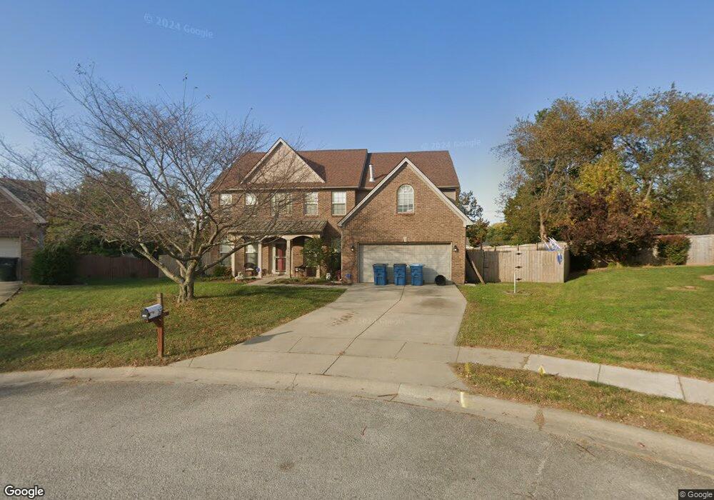
167 Irving Ln Unit 3D Georgetown, KY 40324
Bradford Place NeighborhoodEstimated Value: $402,000 - $437,000
4
Beds
3
Baths
3,065
Sq Ft
$137/Sq Ft
Est. Value
About This Home
This home is located at 167 Irving Ln Unit 3D, Georgetown, KY 40324 and is currently estimated at $420,422, approximately $137 per square foot. 167 Irving Ln Unit 3D is a home located in Scott County with nearby schools including Southern Elementary School, Georgetown Middle School, and Scott County High School.
Ownership History
Date
Name
Owned For
Owner Type
Purchase Details
Closed on
Oct 24, 2011
Sold by
Federal National Mortgage Association
Bought by
Sulski Mark W and Sulski Kelli L
Current Estimated Value
Home Financials for this Owner
Home Financials are based on the most recent Mortgage that was taken out on this home.
Original Mortgage
$147,000
Outstanding Balance
$99,445
Interest Rate
4.16%
Mortgage Type
New Conventional
Estimated Equity
$320,977
Purchase Details
Closed on
Jan 6, 2011
Sold by
Portwood Michael C and Portwood Misty
Bought by
Federal National Mortgage Association
Create a Home Valuation Report for This Property
The Home Valuation Report is an in-depth analysis detailing your home's value as well as a comparison with similar homes in the area
Home Values in the Area
Average Home Value in this Area
Purchase History
| Date | Buyer | Sale Price | Title Company |
|---|---|---|---|
| Sulski Mark W | $187,000 | None Available | |
| Federal National Mortgage Association | $157,500 | None Available |
Source: Public Records
Mortgage History
| Date | Status | Borrower | Loan Amount |
|---|---|---|---|
| Open | Sulski Mark W | $147,000 |
Source: Public Records
Tax History
| Year | Tax Paid | Tax Assessment Tax Assessment Total Assessment is a certain percentage of the fair market value that is determined by local assessors to be the total taxable value of land and additions on the property. | Land | Improvement |
|---|---|---|---|---|
| 2025 | $3,190 | $358,200 | $0 | $0 |
| 2024 | $3,158 | $351,200 | $0 | $0 |
| 2023 | $3,028 | $334,000 | $42,000 | $292,000 |
| 2022 | $2,259 | $265,700 | $35,000 | $230,700 |
| 2021 | $2,300 | $244,200 | $35,000 | $209,200 |
| 2020 | $2,019 | $235,000 | $35,000 | $200,000 |
| 2019 | $1,981 | $227,000 | $0 | $0 |
| 2018 | $1,890 | $217,770 | $0 | $0 |
| 2017 | $1,899 | $217,770 | $0 | $0 |
| 2016 | $1,753 | $217,770 | $0 | $0 |
| 2015 | $1,651 | $206,400 | $0 | $0 |
| 2014 | $1,711 | $206,400 | $0 | $0 |
| 2011 | $144 | $231,939 | $0 | $0 |
Source: Public Records
Map
Nearby Homes
- 100 Hemingway Ct
- 113 Walden Cove Unit 3I
- 1117 Pawnee Trail
- 104 Bronte Place
- 206 Hiawatha Trail
- 512 Pocahontas Trail
- 115 Victor Place
- 1010 Walker Way
- 106 Ransom Trace
- 232 W Showalter Dr
- 118 Chamberlain Dr
- 1003 Parkside Dr
- 1026 Parkside Dr
- 251 W Showalter Dr
- 264 W Showalter Dr
- 139 E Showalter Dr
- 111 Hillside Dr
- 164 Stapleton Way
- 208 Montgomery Ave
- 108 Pinwheel Ct
- 165 Irving Ln
- 168 Irving Ln
- 304 Pocahontas Trail
- 306 Pocahontas Trail
- 163 Irving Ln
- 302 Pocahontas Trail
- 166 Irving Ln
- 242 Ransom Trace
- 161 Irving Ln
- 308 Pocahontas Trail
- 158 Hawthorne Dr
- 160 Hawthorne Dr
- 300 Pocahontas Trail
- 240 Ransom Trace
- 162 Irving Ln
- 162 Hawthorne Dr
- 244 Ransom Trace
- 303 Pocahontas Trail
- 159 Irving Ln
- 164 Hawthorne Dr Unit 3D
Your Personal Tour Guide
Ask me questions while you tour the home.