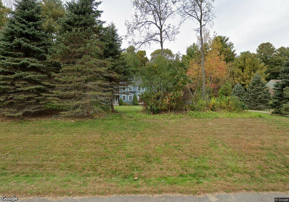
167 Joseph Rd Boxborough, MA 01719
Estimated Value: $942,000 - $1,919,000
4
Beds
3
Baths
2,912
Sq Ft
$431/Sq Ft
Est. Value
About This Home
This home is located at 167 Joseph Rd, Boxborough, MA 01719 and is currently estimated at $1,255,401, approximately $431 per square foot. 167 Joseph Rd is a home located in Middlesex County with nearby schools including Acton-Boxborough Regional High School.
Ownership History
Date
Name
Owned For
Owner Type
Purchase Details
Closed on
Jan 22, 2026
Sold by
Hafez Amr A and Kuo Chen-Yun
Bought by
Hafez Ft and Kuo
Current Estimated Value
Purchase Details
Closed on
Nov 22, 1994
Sold by
Northwest Structures
Bought by
Hafez Amr A and Kuo Chen-Yun
Home Financials for this Owner
Home Financials are based on the most recent Mortgage that was taken out on this home.
Original Mortgage
$291,000
Interest Rate
8.9%
Mortgage Type
Purchase Money Mortgage
Create a Home Valuation Report for This Property
The Home Valuation Report is an in-depth analysis detailing your home's value as well as a comparison with similar homes in the area
Home Values in the Area
Average Home Value in this Area
Purchase History
| Date | Buyer | Sale Price | Title Company |
|---|---|---|---|
| Hafez Ft | -- | -- | |
| Hafez Amr A | $364,482 | -- | |
| Hafez Amr A | $364,482 | -- |
Source: Public Records
Mortgage History
| Date | Status | Borrower | Loan Amount |
|---|---|---|---|
| Previous Owner | Hafez Amr A | $278,000 | |
| Previous Owner | Hafez Amr A | $281,000 | |
| Previous Owner | Hafez Amr A | $291,000 |
Source: Public Records
Tax History
| Year | Tax Paid | Tax Assessment Tax Assessment Total Assessment is a certain percentage of the fair market value that is determined by local assessors to be the total taxable value of land and additions on the property. | Land | Improvement |
|---|---|---|---|---|
| 2025 | $14,975 | $989,100 | $294,200 | $694,900 |
| 2024 | $13,837 | $923,100 | $282,800 | $640,300 |
| 2023 | $13,225 | $852,100 | $254,800 | $597,300 |
| 2022 | $12,704 | $729,300 | $254,800 | $474,500 |
| 2020 | $11,465 | $685,700 | $254,800 | $430,900 |
| 2019 | $5,176 | $685,700 | $254,800 | $430,900 |
| 2018 | $10,660 | $648,400 | $242,800 | $405,600 |
| 2017 | $10,696 | $636,300 | $244,500 | $391,800 |
| 2016 | $10,145 | $620,100 | $244,500 | $375,600 |
| 2015 | $10,771 | $646,900 | $244,100 | $402,800 |
| 2014 | $10,819 | $611,600 | $241,600 | $370,000 |
Source: Public Records
Map
Nearby Homes
- 79 Old Orchard Ln
- 959 Hill Rd
- 4 Littlefield Rd
- 20 Lyons Ln Unit 20
- 77 Wheeler Dr Unit 77
- 36 Leonard Rd
- 631 Massachusetts Ave Unit 631
- 60 Nashoba Rd
- 235 Arlington St
- 5 Perkins Ln
- 40 Fifers Ln
- 92 Willow St Unit 3
- 92 Willow St Unit 2
- 90 Willow St Unit 1
- 50 Spencer Rd Unit 12L
- 15 Spencer Rd Unit 12E
- 20 Joseph Reed Ln
- 220 Swanson Rd Unit 605
- 220 Swanson Rd Unit 606
- 220 Swanson Rd Unit 604
Your Personal Tour Guide
Ask me questions while you tour the home.