Estimated Value: $278,715 - $382,000
2
Beds
1
Bath
549
Sq Ft
$602/Sq Ft
Est. Value
About This Home
This home is located at 167 Loop Rd, Acton, ME 04001 and is currently estimated at $330,358, approximately $601 per square foot. 167 Loop Rd is a home located in York County with nearby schools including Acton Elementary School.
Ownership History
Date
Name
Owned For
Owner Type
Purchase Details
Closed on
Jan 6, 2023
Sold by
Hart Dale L and Hart Sandra J
Bought by
Hart Ft and Hart
Current Estimated Value
Purchase Details
Closed on
Jan 20, 2017
Sold by
Pierce Gary and Pierce Laurie
Bought by
Hart Sandra J and Hart Dale L
Home Financials for this Owner
Home Financials are based on the most recent Mortgage that was taken out on this home.
Original Mortgage
$116,000
Interest Rate
4.13%
Mortgage Type
New Conventional
Purchase Details
Closed on
Oct 5, 2006
Sold by
Lister Lloyd Est and Bolduc
Bought by
Pierce Gary and Pierce Laurie
Create a Home Valuation Report for This Property
The Home Valuation Report is an in-depth analysis detailing your home's value as well as a comparison with similar homes in the area
Home Values in the Area
Average Home Value in this Area
Purchase History
| Date | Buyer | Sale Price | Title Company |
|---|---|---|---|
| Hart Ft | -- | None Available | |
| Hart Ft | -- | None Available | |
| Hart Ft | -- | None Available | |
| Hart Sandra J | -- | -- | |
| Hart Sandra J | -- | -- | |
| Hart Sandra J | -- | -- | |
| Pierce Gary | $100,000 | -- | |
| Pierce Gary | $100,000 | -- |
Source: Public Records
Mortgage History
| Date | Status | Borrower | Loan Amount |
|---|---|---|---|
| Previous Owner | Hart Sandra J | $116,000 |
Source: Public Records
Tax History
| Year | Tax Paid | Tax Assessment Tax Assessment Total Assessment is a certain percentage of the fair market value that is determined by local assessors to be the total taxable value of land and additions on the property. | Land | Improvement |
|---|---|---|---|---|
| 2025 | $2,170 | $300,915 | $233,500 | $67,415 |
| 2024 | $2,127 | $300,915 | $233,500 | $67,415 |
| 2023 | $1,941 | $300,915 | $233,500 | $67,415 |
| 2022 | $1,693 | $141,679 | $97,002 | $44,677 |
| 2021 | $1,693 | $141,679 | $97,002 | $44,677 |
| 2020 | $1,707 | $141,679 | $97,002 | $44,677 |
| 2019 | $1,707 | $141,679 | $97,002 | $44,677 |
| 2018 | $1,707 | $141,679 | $97,002 | $44,677 |
| 2017 | $1,686 | $141,679 | $97,002 | $44,677 |
| 2016 | $1,594 | $141,679 | $97,002 | $44,677 |
| 2015 | $1,636 | $141,679 | $97,002 | $44,677 |
| 2014 | $1,573 | $141,679 | $97,002 | $44,677 |
Source: Public Records
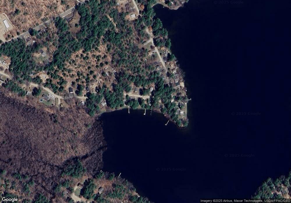
Map
Nearby Homes
- 196 Loop Rd
- 55 Loop Rd
- 202 Route 109
- 6 Maine 109
- 20 Emery Mills Rd
- 100 Warden's Way
- 94 Warden's Way
- 9 Hubbards Cove Rd
- LOT 14A Emery Mills Rd
- 224-3-1 Maine 109
- TBD 23rd St
- 264 State Loop 23
- 19 Rodrigue Ln
- 189 Hopper Rd
- 693 Goding Rd
- 63 Patriot Ln
- 3 & 7 Back Rd
- 328 County Rd
- 032-001 Hopper Rd
- 730 Back Rd
Your Personal Tour Guide
Ask me questions while you tour the home.