167 N Old Newton Rd N Lagrange, GA 30240
Estimated Value: $227,000 - $268,330
2
Beds
1
Bath
672
Sq Ft
$372/Sq Ft
Est. Value
About This Home
This home is located at 167 N Old Newton Rd N, Lagrange, GA 30240 and is currently estimated at $250,110, approximately $372 per square foot. 167 N Old Newton Rd N is a home with nearby schools including Long Cane Elementary School, Berta Weathersbee Elementary School, and Whitesville Road Elementary School.
Ownership History
Date
Name
Owned For
Owner Type
Purchase Details
Closed on
Mar 26, 2003
Sold by
Pattie Borders
Bought by
Lorie Darling Llc
Current Estimated Value
Purchase Details
Closed on
Apr 29, 1980
Sold by
James A Newton
Bought by
Pattie Borders
Purchase Details
Closed on
Oct 30, 1975
Sold by
Newton
Bought by
James A Newton
Purchase Details
Closed on
Apr 11, 1975
Bought by
Newton
Purchase Details
Closed on
Apr 10, 1975
Purchase Details
Closed on
Jan 1, 1973
Sold by
Annie Newton?
Purchase Details
Closed on
Jan 1, 1957
Sold by
Miss Annie Newton
Bought by
Annie Newton?
Create a Home Valuation Report for This Property
The Home Valuation Report is an in-depth analysis detailing your home's value as well as a comparison with similar homes in the area
Home Values in the Area
Average Home Value in this Area
Purchase History
| Date | Buyer | Sale Price | Title Company |
|---|---|---|---|
| Lorie Darling Llc | $142,800 | -- | |
| Pattie Borders | -- | -- | |
| James A Newton | -- | -- | |
| Newton | -- | -- | |
| -- | -- | -- | |
| -- | -- | -- | |
| Annie Newton? | -- | -- |
Source: Public Records
Tax History Compared to Growth
Tax History
| Year | Tax Paid | Tax Assessment Tax Assessment Total Assessment is a certain percentage of the fair market value that is determined by local assessors to be the total taxable value of land and additions on the property. | Land | Improvement |
|---|---|---|---|---|
| 2024 | $1,125 | $71,920 | $42,400 | $29,520 |
| 2023 | $1,102 | $71,280 | $42,400 | $28,880 |
| 2022 | $1,077 | $69,640 | $42,400 | $27,240 |
| 2021 | $1,071 | $75,200 | $50,080 | $25,120 |
| 2020 | $752 | $63,280 | $44,200 | $19,080 |
| 2019 | $747 | $63,280 | $44,200 | $19,080 |
| 2018 | $689 | $61,539 | $44,219 | $17,320 |
| 2017 | $684 | $61,539 | $44,219 | $17,320 |
| 2016 | $627 | $59,810 | $44,219 | $15,592 |
| 2015 | $624 | $59,810 | $44,219 | $15,592 |
| 2014 | $596 | $58,990 | $44,219 | $14,771 |
| 2013 | -- | $60,082 | $44,219 | $15,863 |
Source: Public Records
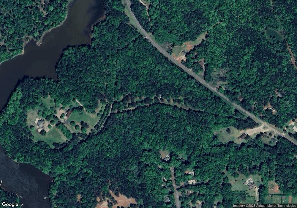
Map
Nearby Homes
- 40 River Point Dr
- 474 Newton Rd
- 101 Ivy Springs Dr
- 135 Planters Ridge Dr
- 119 Plymouth Dr
- 141 Plymouth Dr
- 100 Huntcliff Ct
- 102 Franklin Place
- 205 Linda Ln
- 0 Deming St Unit 10550189
- 124 Foxdale Dr
- 709 Vernon Ferry Rd
- 226 Linda Ln
- 103 Dogwood Ct
- 110 Hawthorne Cir
- 105 Hawthorne Cir
- 104 Dogwood Point
- 190 Hill Rd
- 103 Hawthorne Cir
- 207 Lakeshore Way
- 0 Old Newton Rd S
- 0 Old Newton Rd S Unit 7058297
- 0 Old Newton Rd S Unit 8694046
- 0 Old Newton Rd S Unit 8488868
- 0 Old Newton Rd S Unit 8094877
- 0 Old Newton Rd S Unit 8008021
- 0 Old Newton Rd S Unit 2564050
- 0 Old Newton Rd S Unit 8273061
- 0 Old Newton Rd S Unit 7269892
- 0 Old Newton Rd S Unit 7237599
- 111 Heatherbrook Dr
- 419 Pyne Rd
- 427 Pyne Rd
- 445 Pyne Rd
- 109 Heatherbrook Dr
- 110 Heatherbrook Dr
- 498 Pyne Rd
- 108 Heatherbrook Dr
- 475 Pyne Rd
- 166 Old Newton Rd N