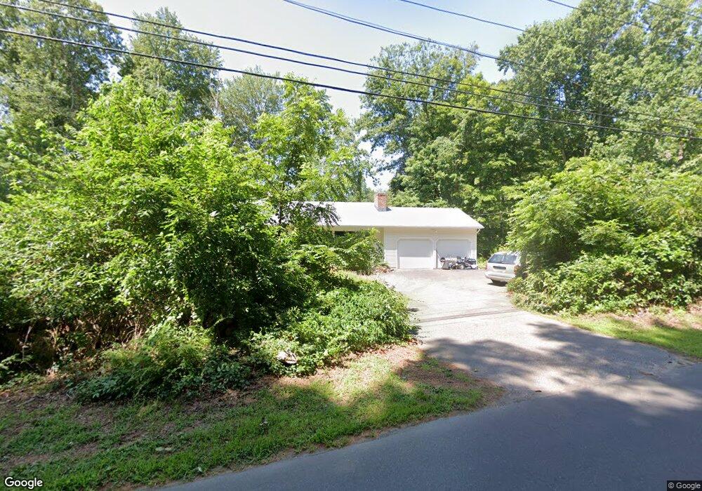
167 Nortontown Rd Madison, CT 06443
Estimated Value: $469,000 - $571,000
3
Beds
2
Baths
1,274
Sq Ft
$408/Sq Ft
Est. Value
About This Home
This home is located at 167 Nortontown Rd, Madison, CT 06443 and is currently estimated at $519,970, approximately $408 per square foot. 167 Nortontown Rd is a home located in New Haven County with nearby schools including Walter C. Polson Upper Middle School, Daniel Hand High School, and The Country School.
Ownership History
Date
Name
Owned For
Owner Type
Purchase Details
Closed on
Oct 11, 1996
Sold by
Brault Victoria M
Bought by
Rauccio Carmine S and Meriano Katherine B
Current Estimated Value
Home Financials for this Owner
Home Financials are based on the most recent Mortgage that was taken out on this home.
Original Mortgage
$70,000
Interest Rate
8.06%
Mortgage Type
Unknown
Create a Home Valuation Report for This Property
The Home Valuation Report is an in-depth analysis detailing your home's value as well as a comparison with similar homes in the area
Home Values in the Area
Average Home Value in this Area
Purchase History
| Date | Buyer | Sale Price | Title Company |
|---|---|---|---|
| Rauccio Carmine S | $150,000 | -- |
Source: Public Records
Mortgage History
| Date | Status | Borrower | Loan Amount |
|---|---|---|---|
| Open | Rauccio Carmine S | $200,000 | |
| Closed | Rauccio Carmine S | $70,000 | |
| Previous Owner | Rauccio Carmine S | $70,000 | |
| Previous Owner | Rauccio Carmine S | $48,000 |
Source: Public Records
Tax History Compared to Growth
Tax History
| Year | Tax Paid | Tax Assessment Tax Assessment Total Assessment is a certain percentage of the fair market value that is determined by local assessors to be the total taxable value of land and additions on the property. | Land | Improvement |
|---|---|---|---|---|
| 2025 | $6,330 | $282,200 | $123,300 | $158,900 |
| 2024 | $6,208 | $282,200 | $123,300 | $158,900 |
| 2023 | $5,910 | $197,200 | $94,900 | $102,300 |
| 2022 | $5,800 | $197,200 | $94,900 | $102,300 |
| 2021 | $5,689 | $197,200 | $94,900 | $102,300 |
| 2020 | $5,591 | $197,200 | $94,900 | $102,300 |
| 2019 | $5,591 | $197,200 | $94,900 | $102,300 |
| 2018 | $21,961 | $201,400 | $94,700 | $106,700 |
| 2017 | $5,498 | $201,400 | $94,700 | $106,700 |
| 2016 | $5,335 | $201,400 | $94,700 | $106,700 |
| 2015 | $5,188 | $201,400 | $94,700 | $106,700 |
| 2014 | $5,638 | $224,000 | $150,500 | $73,500 |
Source: Public Records
Map
Nearby Homes
- 259 Mungertown Rd
- 26 Opening Hill Rd
- 38 Opening Hill Rd
- 231 Nortontown Rd
- 214 Nortontown Rd
- 7 Derenthal Dr
- 67 Boston Post Rd Unit 8
- 9 Old Farms Rd
- 108 Boston Post Rd
- 360 E River Rd
- 330 Foxwood Rd
- 66 Beaver Pond Rd
- 75 Fairview Dr
- 62 Wellsweep Dr
- 31 Stony Lane Lot 3 Rd
- 31 Stony Lane Lot 6 Rd
- 31 Stony Lane Lot 1 Rd
- 31 Stony Lane Lot 2 Rd
- 9 Monroe Ln
- 195 Tanner Marsh Rd
- 204 Wildwood Ave
- 140 Nortontown Rd
- 203 Wildwood Ave
- 211 Wildwood Ave
- 211 Wildwood Ave
- 162 Nortontown Rd
- 174 Nortontown Rd
- 168 Nortontown Rd
- 2 Opening Hill Rd
- 180 Nortontown Rd
- 138 Nortontown Rd
- 188 Wildwood Ave
- 195 Wildwood Ave
- 30 Opening Hill Rd
- 136 Nortontown Rd
- 133 Nortontown Rd
- 41 Opening Hill Rd
- 187 Wildwood Ave
- 0 Opening Hill Rd Unit N10127141
- 0 Opening Hill Rd