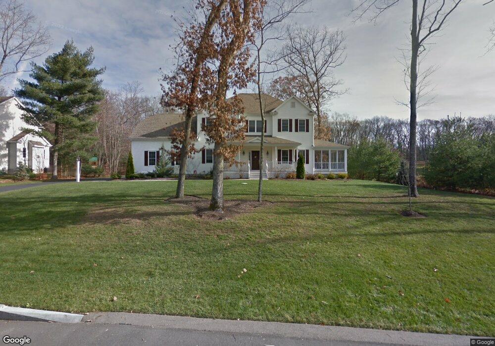
167 Oakhill Ave Wrentham, MA 02093
West Wrentham NeighborhoodEstimated Value: $1,026,893 - $1,293,000
4
Beds
3
Baths
2,986
Sq Ft
$379/Sq Ft
Est. Value
About This Home
This home is located at 167 Oakhill Ave, Wrentham, MA 02093 and is currently estimated at $1,131,973, approximately $379 per square foot. 167 Oakhill Ave is a home located in Norfolk County with nearby schools including Delaney Elementary School, Charles E Roderick, and Rise Prep Mayoral Academy Middle School.
Ownership History
Date
Name
Owned For
Owner Type
Purchase Details
Closed on
Jun 26, 2008
Sold by
Mountain Dog Bldg Corp
Bought by
Daly Jay M and Daly Lisa M
Current Estimated Value
Home Financials for this Owner
Home Financials are based on the most recent Mortgage that was taken out on this home.
Original Mortgage
$417,000
Outstanding Balance
$269,019
Interest Rate
6.07%
Mortgage Type
Purchase Money Mortgage
Estimated Equity
$862,954
Create a Home Valuation Report for This Property
The Home Valuation Report is an in-depth analysis detailing your home's value as well as a comparison with similar homes in the area
Home Values in the Area
Average Home Value in this Area
Purchase History
| Date | Buyer | Sale Price | Title Company |
|---|---|---|---|
| Daly Jay M | $710,000 | -- | |
| Daly Jay M | $710,000 | -- |
Source: Public Records
Mortgage History
| Date | Status | Borrower | Loan Amount |
|---|---|---|---|
| Open | Daly Jay M | $417,000 | |
| Closed | Daly Jay M | $417,000 |
Source: Public Records
Tax History
| Year | Tax Paid | Tax Assessment Tax Assessment Total Assessment is a certain percentage of the fair market value that is determined by local assessors to be the total taxable value of land and additions on the property. | Land | Improvement |
|---|---|---|---|---|
| 2025 | $10,903 | $940,700 | $286,800 | $653,900 |
| 2024 | $10,324 | $860,300 | $286,800 | $573,500 |
| 2023 | $10,321 | $817,800 | $260,800 | $557,000 |
| 2022 | $9,882 | $722,900 | $243,300 | $479,600 |
| 2021 | $9,192 | $653,300 | $212,400 | $440,900 |
| 2020 | $9,385 | $658,600 | $188,900 | $469,700 |
| 2019 | $9,218 | $652,800 | $204,600 | $448,200 |
| 2018 | $9,236 | $648,600 | $236,400 | $412,200 |
| 2017 | $9,012 | $632,400 | $231,900 | $400,500 |
| 2016 | $8,885 | $622,200 | $225,200 | $397,000 |
| 2015 | $9,930 | $662,900 | $274,200 | $388,700 |
| 2014 | $10,836 | $707,800 | $277,600 | $430,200 |
Source: Public Records
Map
Nearby Homes
- 9 Brookfield Ln
- 65 Palmetto Dr Unit 65
- 9 Pebble Cir Unit 9
- 21 Palmetto Dr Unit 21
- 24 Palmetto Dr Unit 24
- 1250 Pulaski Blvd
- 925 Washington St
- 25 Nature View Dr
- 20 Nature View Dr
- 2095 West St
- 10 Stoneham Dr
- 365 W Wrentham Rd
- 352 Lake St
- 180 Pine Swamp Rd
- 56 Pine Swamp Rd
- 172 Pine Swamp Rd
- 21 Irving St
- 82 Paine St
- 202 Paine St
- 194 Paine St
Your Personal Tour Guide
Ask me questions while you tour the home.