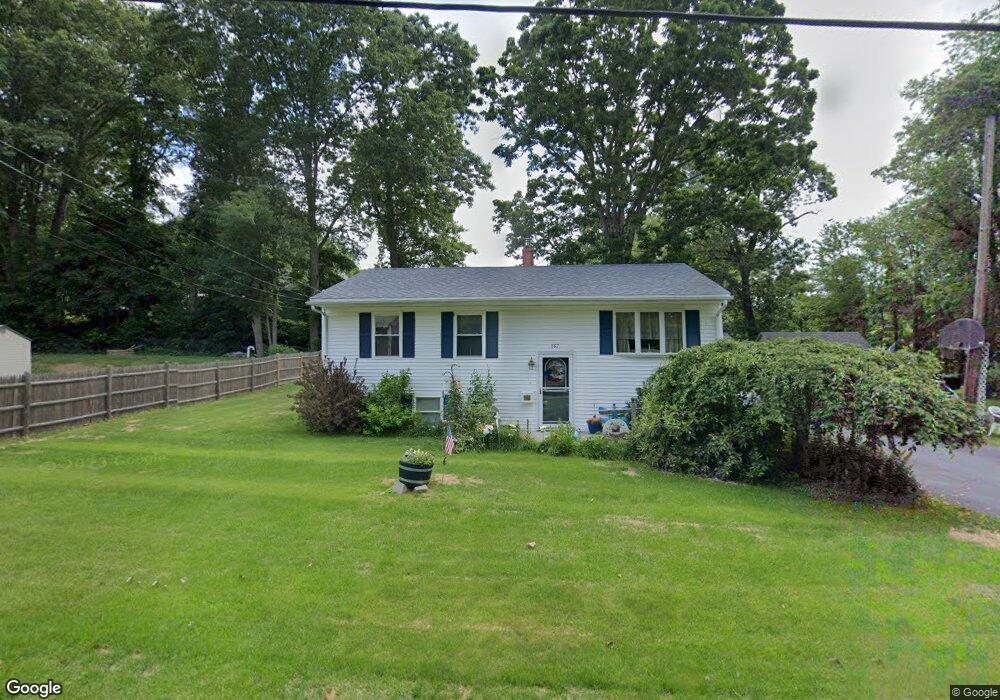
167 Peter Salem Rd Leicester, MA 01524
Estimated Value: $339,000 - $380,000
About This Home
This home is located at 167 Peter Salem Rd, Leicester, MA 01524 and is currently estimated at $359,832, approximately $329 per square foot. 167 Peter Salem Rd is a home located in Worcester County with nearby schools including Leicester Integrated Preschool, Leicester Memorial Elementary School, and Leicester Middle School.
Ownership History
We collect this data history from publicly available records. To have your information removed, we recommend requesting removal directly through your county’s website.
Purchase Details
Purchase Details
Home Values in the Area
Average Home Value in this Area
Purchase History
We collect this data history from publicly available records. To have your information removed, we recommend requesting removal directly through your county’s website.
| Date | Buyer | Sale Price | Title Company |
|---|---|---|---|
| -- | -- | ||
| -- | -- | ||
| -- | -- | ||
| -- | -- |
Mortgage History
We collect this data history from publicly available records. To have your information removed, we recommend requesting removal directly through your county’s website.
| Date | Status | Borrower | Loan Amount |
|---|---|---|---|
| Previous Owner | $35,000 |
Tax History
We collect this data history from publicly available records. To have your information removed, we recommend requesting removal directly through your county’s website.
| Year | Tax Paid | Tax Assessment Tax Assessment Total Assessment is a certain percentage of the fair market value that is determined by local assessors to be the total taxable value of land and additions on the property. | Land | Improvement |
|---|---|---|---|---|
| 2025 | $35 | $294,600 | $72,600 | $222,000 |
| 2024 | $3,269 | $260,500 | $62,800 | $197,700 |
| 2023 | $3,126 | $243,100 | $62,800 | $180,300 |
| 2022 | $3,032 | $216,700 | $60,000 | $156,700 |
| 2021 | $3,139 | $207,500 | $60,000 | $147,500 |
| 2020 | $2,602 | $174,500 | $54,000 | $120,500 |
| 2019 | $2,481 | $164,500 | $48,400 | $116,100 |
| 2018 | $2,405 | $149,500 | $48,400 | $101,100 |
| 2017 | $2,314 | $149,500 | $48,400 | $101,100 |
| 2016 | $2,266 | $152,100 | $60,300 | $91,800 |
| 2015 | $2,212 | $152,100 | $60,300 | $91,800 |
Map
- 75 Huntoon Memorial Hwy Unit 4-3
- 00 Pleasant St
- 595 Pleasant St
- 28 Mayflower Cir
- 15 Breezy Green Rd
- 1 Victoria Dr Unit 22
- 276 Pine St
- 20 Victoria Dr Unit 20
- 845 Stafford St
- 9 Harding St
- 673 Pleasant St
- 748-A Stafford St
- 310 River St
- 102 River St
- 1569 Main St
- 1561 Main St
- 8-10 Pleasant St
- 1003 Main St
- 963 Main St
- 57 Charlton St
- 3 Pitcairn Ave
- 1 Pitcairn Ave
- 5 Pitcairn Ave
- 2 Pitcairn Ave
- 4 Pitcairn Ave
- 2 Bunker Hill Rd
- 7 Pitcairn Ave
- 6 Bunker Hill Rd
- 163 Peter Salem Rd
- 165 Peter Salem Rd
- 3 Bunker Hill Rd
- 1 Bunker Hill Rd
- 7 Bunker Hill Rd
- 5 Bunker Hill Rd
- 162 Peter Salem Rd
- 155 Peter Salem Rd
- 166 Peter Salem Rd
- 166 Peter Salem Rd Unit 1
- 160 Peter Salem Rd
- 156 Peter Salem Rd
Ask me questions while you tour the home.