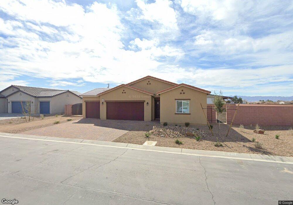
167 Pioneer Range Ave Pahrump, NV 89060
Estimated Value: $364,000 - $445,000
--
Bed
--
Bath
1,825
Sq Ft
$216/Sq Ft
Est. Value
About This Home
This home is located at 167 Pioneer Range Ave, Pahrump, NV 89060 and is currently estimated at $394,893, approximately $216 per square foot. 167 Pioneer Range Ave is a home with nearby schools including Manse Elementary School, Rosemary Clarke Middle School, and Pahrump Valley High School.
Ownership History
Date
Name
Owned For
Owner Type
Purchase Details
Closed on
Dec 13, 2023
Sold by
D R Horton Inc
Bought by
Silvia Frank and Silvia Ruby
Current Estimated Value
Home Financials for this Owner
Home Financials are based on the most recent Mortgage that was taken out on this home.
Original Mortgage
$335,350
Outstanding Balance
$330,055
Interest Rate
7.76%
Mortgage Type
New Conventional
Estimated Equity
$64,838
Purchase Details
Closed on
Oct 21, 2021
Sold by
Time To Celebrate Llc
Bought by
D R Horton Inc
Create a Home Valuation Report for This Property
The Home Valuation Report is an in-depth analysis detailing your home's value as well as a comparison with similar homes in the area
Home Values in the Area
Average Home Value in this Area
Purchase History
| Date | Buyer | Sale Price | Title Company |
|---|---|---|---|
| Silvia Frank | $353,000 | Dhi Title Of Nevada | |
| D R Horton Inc | $7,300,000 | Fidelity Natl Ttl Agcy Of Nv |
Source: Public Records
Mortgage History
| Date | Status | Borrower | Loan Amount |
|---|---|---|---|
| Open | Silvia Frank | $335,350 |
Source: Public Records
Tax History Compared to Growth
Tax History
| Year | Tax Paid | Tax Assessment Tax Assessment Total Assessment is a certain percentage of the fair market value that is determined by local assessors to be the total taxable value of land and additions on the property. | Land | Improvement |
|---|---|---|---|---|
| 2025 | $3,466 | $101,490 | $4,466 | $97,024 |
| 2024 | $3,466 | $101,009 | $4,466 | $96,543 |
| 2023 | $3,466 | $6,687 | $4,466 | $2,221 |
| 2022 | $232 | $6,430 | $4,466 | $1,964 |
| 2021 | $220 | $5,449 | $3,573 | $1,876 |
| 2020 | $212 | $5,455 | $3,573 | $1,882 |
| 2019 | $200 | $5,421 | $3,573 | $1,848 |
| 2018 | $146 | $3,216 | $1,429 | $1,787 |
| 2017 | $146 | $3,207 | $1,429 | $1,778 |
| 2016 | $147 | $3,208 | $1,429 | $1,779 |
| 2015 | $147 | $3,280 | $1,429 | $1,851 |
| 2014 | $149 | $3,271 | $1,429 | $1,842 |
Source: Public Records
Map
Nearby Homes
- 291 E Pechstein Rd
- 381 E Pechstein Rd
- 164 Hawk Ave
- 1580 Outlaw St
- 1580 N Blagg Rd
- 37 Late Harvest Ave
- 411 E Pechstein Rd
- 1900 N Blagg Rd
- 30 W Mesquite Ave
- 1710 Chico Ln
- 1760 Chico Ln
- 911 N Aztec St
- 2320 Ida St
- 640 Buckhorn Ave
- 2030 N Eldridge St
- 671 Corral St
- 651 Corral St
- 621 W Mesquite Ave
- 601 Delta St
- 591 Delta St
- 187 Pioneer Range Ave Unit 1025
- 149 Pioneer Range Ave Unit 1023
- 164 Pioneer Range Ave Unit 611
- 184 Pioneer Range Ave
- 146 Pioneer Range Ave
- 131 Pioneer Range Ave
- 207 Pioneer Range Ave
- 128 Pioneer Range Ave Unit 613
- 163 Wildcat Ave Unit 608
- 1531 Pinedale St Unit 1027
- 145 Wildcat Ave
- 183 Wildcat Ave Unit 609
- 113 Pioneer Range Ave
- 127 Wildcat Ave
- 110 Pioneer Range Ave Unit 614
- 164 Wildcat Ave
- 95 Pioneer Range Ave
- 109 Wildcat Ave
- 1571 Pinedale St
- 92 Pioneer Range Ave