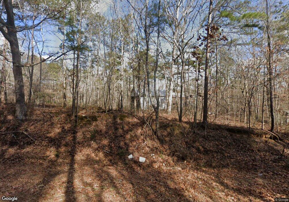
167 Tolbert Rd Rockmart, GA 30153
Estimated Value: $411,000 - $692,238
3
Beds
3
Baths
3,017
Sq Ft
$185/Sq Ft
Est. Value
About This Home
This home is located at 167 Tolbert Rd, Rockmart, GA 30153 and is currently estimated at $558,079, approximately $184 per square foot. 167 Tolbert Rd is a home located in Haralson County with nearby schools including Haralson County High School.
Ownership History
Date
Name
Owned For
Owner Type
Purchase Details
Closed on
Nov 12, 2009
Sold by
Priest Randall K
Bought by
Tolbert Philip Eugene
Current Estimated Value
Purchase Details
Closed on
Jun 27, 2004
Sold by
Willis Mary Sue
Bought by
Priest Randall K and Priest Lesha D
Purchase Details
Closed on
Jan 20, 2004
Sold by
Tolbert Phillip Eugene
Bought by
Priest Randall K and Priest Lesha D
Create a Home Valuation Report for This Property
The Home Valuation Report is an in-depth analysis detailing your home's value as well as a comparison with similar homes in the area
Home Values in the Area
Average Home Value in this Area
Purchase History
| Date | Buyer | Sale Price | Title Company |
|---|---|---|---|
| Tolbert Philip Eugene | $1,000 | -- | |
| Tolbert Philip Eugene | $1,000 | -- | |
| Priest Randall K | -- | -- | |
| Priest Randall K | -- | -- |
Source: Public Records
Tax History Compared to Growth
Tax History
| Year | Tax Paid | Tax Assessment Tax Assessment Total Assessment is a certain percentage of the fair market value that is determined by local assessors to be the total taxable value of land and additions on the property. | Land | Improvement |
|---|---|---|---|---|
| 2024 | $5,959 | $231,819 | $10,503 | $221,316 |
| 2023 | $6,679 | $251,110 | $9,434 | $241,676 |
| 2022 | $5,631 | $212,008 | $9,434 | $202,574 |
| 2021 | $5,642 | $203,958 | $8,580 | $195,378 |
| 2020 | $5,754 | $207,061 | $8,580 | $198,481 |
| 2019 | $4,901 | $170,205 | $8,580 | $161,625 |
| 2018 | $4,972 | $170,205 | $8,580 | $161,625 |
| 2017 | $5,057 | $157,504 | $8,580 | $148,924 |
| 2016 | $4,462 | $149,408 | $9,078 | $140,330 |
| 2015 | $4,238 | $140,241 | $9,078 | $131,164 |
| 2014 | $4,216 | $141,679 | $9,078 | $132,601 |
Source: Public Records
Map
Nearby Homes
- 33 Tolbert Rd
- 0 Hutcheson Road Off
- 3200 Rockmart Rd
- None Maner Rd
- 748 Maner Rd
- 3548 Coppermine Rd
- 3639 Holly Springs Rd
- 295 Miller Path
- 298 Randall Dr
- 174 Randall Dr
- 53 Adams Ln
- 399 Ruff Rd
- 1736 Pleasant Grove Rd
- 0 Allgood Church Rd Unit 144628
- 53 Grove Ln
- 138 Pleasant Dr
- 2292 Holly Springs Rd
- 1174 Proctor Rd
- 134 Golden Rd
- 2564 Vinson Mountain Rd