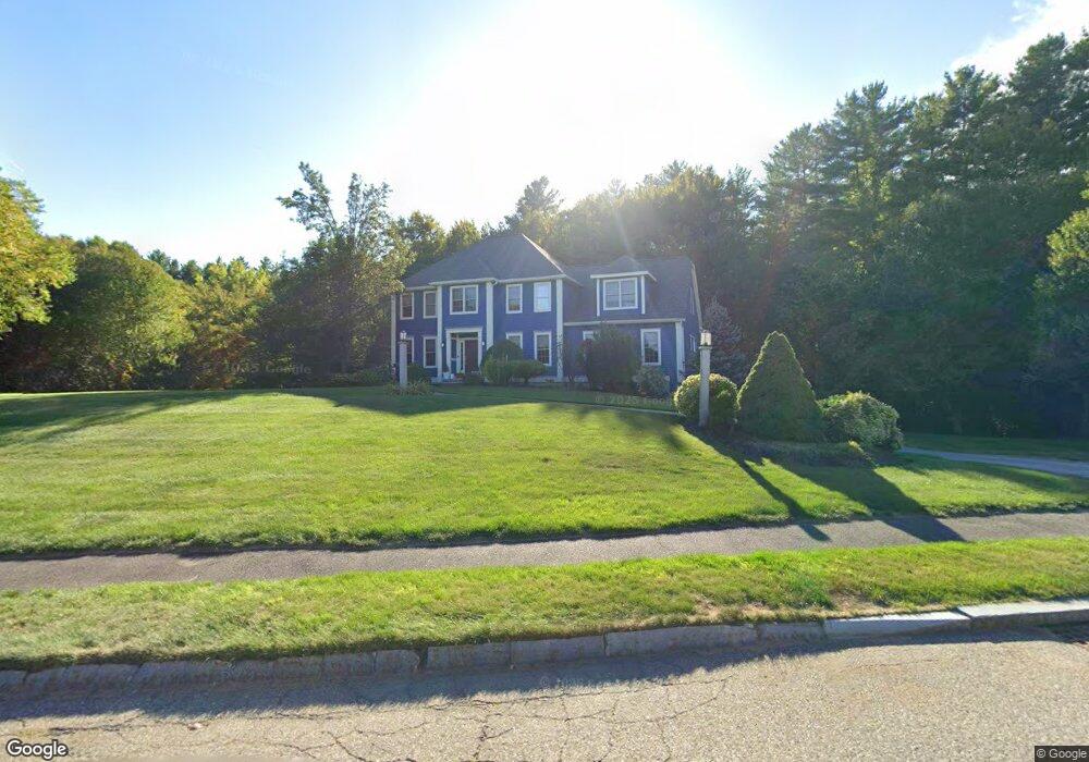
167 Wharton Row Groton, MA 01450
Estimated Value: $930,000 - $1,224,000
3
Beds
3
Baths
2,934
Sq Ft
$364/Sq Ft
Est. Value
About This Home
This home is located at 167 Wharton Row, Groton, MA 01450 and is currently estimated at $1,069,134, approximately $364 per square foot. 167 Wharton Row is a home located in Middlesex County with nearby schools including Groton Dunstable Regional High School, Groton Community School, and Seven Hills At Groton.
Ownership History
Date
Name
Owned For
Owner Type
Purchase Details
Closed on
Apr 6, 2007
Sold by
Green Alison C and Green Shaun M
Bought by
Sullivan Catherine B and Sullivan Daniel T
Current Estimated Value
Home Financials for this Owner
Home Financials are based on the most recent Mortgage that was taken out on this home.
Original Mortgage
$529,600
Outstanding Balance
$321,968
Interest Rate
6.25%
Mortgage Type
Purchase Money Mortgage
Estimated Equity
$747,166
Purchase Details
Closed on
Feb 27, 2004
Sold by
Groton Dev Corp
Bought by
Green Alison C and Green Shaun M
Home Financials for this Owner
Home Financials are based on the most recent Mortgage that was taken out on this home.
Original Mortgage
$513,794
Interest Rate
5.65%
Mortgage Type
Purchase Money Mortgage
Create a Home Valuation Report for This Property
The Home Valuation Report is an in-depth analysis detailing your home's value as well as a comparison with similar homes in the area
Home Values in the Area
Average Home Value in this Area
Purchase History
| Date | Buyer | Sale Price | Title Company |
|---|---|---|---|
| Sullivan Catherine B | $662,000 | -- | |
| Sullivan Catherine B | $662,000 | -- | |
| Green Alison C | $642,750 | -- | |
| Green Alison C | $642,750 | -- |
Source: Public Records
Mortgage History
| Date | Status | Borrower | Loan Amount |
|---|---|---|---|
| Open | Sullivan Catherine B | $529,600 | |
| Closed | Green Alison C | $529,600 | |
| Previous Owner | Green Alison C | $513,794 |
Source: Public Records
Tax History
| Year | Tax Paid | Tax Assessment Tax Assessment Total Assessment is a certain percentage of the fair market value that is determined by local assessors to be the total taxable value of land and additions on the property. | Land | Improvement |
|---|---|---|---|---|
| 2025 | $15,146 | $993,200 | $323,000 | $670,200 |
| 2024 | $15,045 | $997,000 | $323,000 | $674,000 |
| 2023 | $14,264 | $912,000 | $323,000 | $589,000 |
| 2022 | $12,801 | $744,700 | $259,400 | $485,300 |
| 2021 | $12,822 | $728,500 | $235,400 | $493,100 |
| 2020 | $13,367 | $769,100 | $254,200 | $514,900 |
| 2019 | $12,539 | $692,400 | $273,000 | $419,400 |
| 2018 | $12,253 | $656,300 | $263,600 | $392,700 |
| 2017 | $11,984 | $656,300 | $263,600 | $392,700 |
| 2016 | $11,324 | $603,000 | $221,300 | $381,700 |
| 2015 | $11,017 | $603,000 | $221,300 | $381,700 |
Source: Public Records
Map
Nearby Homes
- 15 Hayes Woods Ln
- Lot 3 Maple Ave
- 111 Farmers Row
- 104 Mill St
- 26 Bradley Dr Unit D
- 8 Bradley Dr Unit A
- 44 Squannacook Rd
- 43 Longley Rd
- 228 Main St
- 519 Main St Unit D
- 186 Main St
- 92 Squannacook Rd
- 53 Throne Hill Rd
- 44 Nod Rd
- 17 Jonathan Dr
- 17 Longley Rd
- 16 Hayes Woods Ln
- 20 Hayes Woods Ln
- 124 Hazen Rd
- 33 Worthen Dr
- 165 Wharton Row
- 171 Wharton Row
- 0 Wharton Row
- 168 Wharton Row
- 170 Wharton Row
- 180 Wharton Row
- 161 Wharton Row
- 93 Town Forest Rd
- 86 Wharton Row
- 122 Wharton Row
- 150 Wharton Row
- 138 Wharton Row
- 78 Wharton Row
- 159 Wharton Row
- 116 Wharton Row
- 91 Wharton Row
- 99 Wharton Row
- 85 Wharton Row
- 68 Wharton Row
- 111 Wharton Row
Your Personal Tour Guide
Ask me questions while you tour the home.