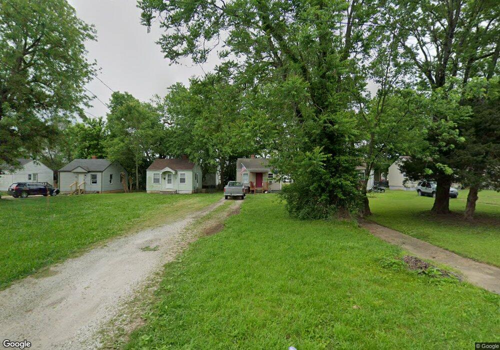
1670 E Brower St Springfield, MO 65802
Cooper Park NeighborhoodEstimated Value: $66,690 - $128,000
1
Bed
1
Bath
440
Sq Ft
$211/Sq Ft
Est. Value
About This Home
This home is located at 1670 E Brower St, Springfield, MO 65802 and is currently estimated at $92,923, approximately $211 per square foot. 1670 E Brower St is a home located in Greene County with nearby schools including Weller Elementary School, Pipkin Middle School, and Central High School.
Ownership History
Date
Name
Owned For
Owner Type
Purchase Details
Closed on
Jun 28, 2023
Sold by
Brindley Partners Llc
Bought by
Campbell Blake and Campbell Ellie
Current Estimated Value
Home Financials for this Owner
Home Financials are based on the most recent Mortgage that was taken out on this home.
Original Mortgage
$45,000
Outstanding Balance
$43,844
Interest Rate
6.39%
Mortgage Type
New Conventional
Estimated Equity
$49,079
Purchase Details
Closed on
Sep 19, 2008
Sold by
Little Carolyn V
Bought by
Walton William Clayton and Walto Imogene
Create a Home Valuation Report for This Property
The Home Valuation Report is an in-depth analysis detailing your home's value as well as a comparison with similar homes in the area
Home Values in the Area
Average Home Value in this Area
Purchase History
| Date | Buyer | Sale Price | Title Company |
|---|---|---|---|
| Campbell Blake | -- | Waco Title | |
| Walton William Clayton | $20,500 | None Available |
Source: Public Records
Mortgage History
| Date | Status | Borrower | Loan Amount |
|---|---|---|---|
| Open | Campbell Blake | $45,000 |
Source: Public Records
Tax History
| Year | Tax Paid | Tax Assessment Tax Assessment Total Assessment is a certain percentage of the fair market value that is determined by local assessors to be the total taxable value of land and additions on the property. | Land | Improvement |
|---|---|---|---|---|
| 2025 | $351 | $7,050 | $3,150 | $3,900 |
| 2024 | $192 | $3,570 | $1,900 | $1,670 |
| 2023 | $190 | $3,570 | $1,900 | $1,670 |
| 2022 | $182 | $3,340 | $1,900 | $1,440 |
| 2021 | $182 | $3,340 | $1,900 | $1,440 |
| 2020 | $182 | $3,190 | $1,900 | $1,290 |
| 2019 | $177 | $3,190 | $1,900 | $1,290 |
| 2018 | $165 | $2,980 | $1,900 | $1,080 |
| 2017 | $164 | $2,980 | $1,900 | $1,080 |
| 2016 | $163 | $2,980 | $1,900 | $1,080 |
| 2015 | $162 | $2,980 | $1,900 | $1,080 |
| 2014 | $160 | $2,930 | $1,900 | $1,030 |
Source: Public Records
Map
Nearby Homes
- 1701 E Chestnut St
- 1628 E Brower St
- 217 S Pickwick Ave
- 1525 E Cairo St
- 1462 E Mcdaniel St
- 922 N Prospect Ave
- 1700 E Cairo St
- 1126 N Rogers Ave
- 338 S Weller Ave
- 1737 E Walnut St
- 1129 N Rogers Ave
- 934 N National Ave
- 1311 N Fremont Ave
- 1435 E Walnut St
- 1936 E Cairo St
- 1133 N Prospect Ave
- 1341 N Fremont Ave
- 1345 E Walnut St
- 1213 E Saint Louis St
- 1235 N Prospect Ave
- 1668 E Brower St
- 1700 E Brower St
- 1664 E Brower St
- 1708 E Brower St
- 1673 E Chestnut St
- 1669 E Chestnut St
- 1660 E Brower St
- 1665 E Chestnut St
- 1701,1705 E Chestnut St
- 1701,1705, E Chestnut St
- 1661 E Chestnut St
- 1714 E Brower St
- 1656 E Brower St
- 1671 E Brower St
- 1701 E Brower St
- 1663 E Brower St
- 1718 E Brower St
- 1705 E Brower St
- 1655 E Chestnut St
- 1650 E Brower St
Your Personal Tour Guide
Ask me questions while you tour the home.