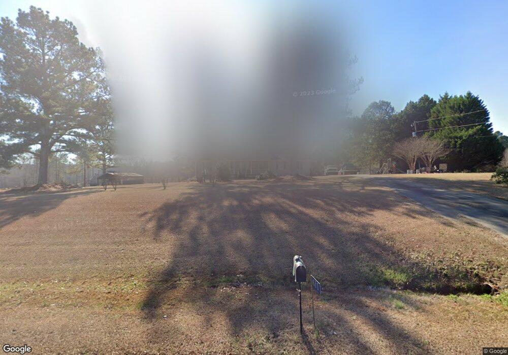
1670 Michael Rd NW Monroe, GA 30656
Estimated Value: $146,184 - $314,000
Studio
--
Bath
1,792
Sq Ft
$118/Sq Ft
Est. Value
About This Home
This home is located at 1670 Michael Rd NW, Monroe, GA 30656 and is currently estimated at $211,796, approximately $118 per square foot. 1670 Michael Rd NW is a home located in Walton County with nearby schools including Monroe Elementary School, Carver Middle School, and Monroe Area High School.
Ownership History
Date
Name
Owned For
Owner Type
Purchase Details
Closed on
Sep 22, 2025
Sold by
Gill James L
Bought by
Harwell Lamar
Current Estimated Value
Purchase Details
Closed on
Nov 20, 2017
Sold by
Gill James L
Bought by
Gill James L
Home Financials for this Owner
Home Financials are based on the most recent Mortgage that was taken out on this home.
Original Mortgage
$111,909
Interest Rate
3.88%
Mortgage Type
New Conventional
Purchase Details
Closed on
Jun 26, 1998
Sold by
Sweat Henry
Bought by
Gill James L and Gill Kathrina
Home Financials for this Owner
Home Financials are based on the most recent Mortgage that was taken out on this home.
Original Mortgage
$121,450
Interest Rate
7.21%
Mortgage Type
FHA
Purchase Details
Closed on
Jan 21, 1993
Sold by
Day Arthur Dennis
Bought by
Sweat Henry L
Home Financials for this Owner
Home Financials are based on the most recent Mortgage that was taken out on this home.
Original Mortgage
$71,400
Interest Rate
7.88%
Mortgage Type
FHA
Create a Home Valuation Report for This Property
The Home Valuation Report is an in-depth analysis detailing your home's value as well as a comparison with similar homes in the area
Home Values in the Area
Average Home Value in this Area
Purchase History
| Date | Buyer | Sale Price | Title Company |
|---|---|---|---|
| Harwell Lamar | $150,000 | -- | |
| Gill James L | -- | -- | |
| Gill James L | $124,500 | -- | |
| Sweat Henry L | $72,500 | -- | |
| Sweat Henry L | $72,500 | -- |
Source: Public Records
Mortgage History
| Date | Status | Borrower | Loan Amount |
|---|---|---|---|
| Previous Owner | Gill James L | $111,909 | |
| Previous Owner | Gill James L | $121,450 | |
| Previous Owner | Sweat Henry L | $71,400 |
Source: Public Records
Tax History
| Year | Tax Paid | Tax Assessment Tax Assessment Total Assessment is a certain percentage of the fair market value that is determined by local assessors to be the total taxable value of land and additions on the property. | Land | Improvement |
|---|---|---|---|---|
| 2025 | $597 | $79,904 | $30,480 | $49,424 |
| 2024 | $520 | $77,864 | $30,480 | $47,384 |
| 2023 | $272 | $71,424 | $24,720 | $46,704 |
| 2022 | $441 | $65,384 | $21,840 | $43,544 |
| 2021 | $441 | $55,344 | $16,120 | $39,224 |
| 2020 | $451 | $51,024 | $13,640 | $37,384 |
| 2019 | $459 | $47,064 | $11,880 | $35,184 |
| 2018 | $459 | $47,064 | $11,880 | $35,184 |
| 2017 | $1,587 | $46,064 | $11,880 | $34,184 |
| 2016 | $450 | $42,332 | $8,840 | $33,492 |
| 2015 | $439 | $41,012 | $7,520 | $33,492 |
| 2014 | $1,312 | $39,572 | $6,840 | $32,732 |
Source: Public Records
Map
Nearby Homes
- 1790 Michael Rd NW
- 1811 Michael Rd
- 1393 Michael Rd NW
- 2891 Ike Stone Rd
- 2101 Apalachee Trail
- TRACT 7 Bradley Gin Rd
- TRACT 3 Bradley Gin Rd
- TRACT 1 Bradley Gin Rd
- TRACT 5 Bradley Gin Rd
- TRACT 4 Bradley Gin Rd
- TRACT 2 Bradley Gin Rd
- 744 Belle Vista St
- 970 John W Breedlove Rd
- 564 Belle Woode St
- 950 John W Breedlove Rd NW
- 1537 Lakeland Dr
- 3020 Shoal Creek Rd NW
- 1186 Emmas Path
- 216 Saddle Creek Dr
- 1191 Dove Creek Rd
- 1690 Michael Rd NW
- 1681 Michael Rd
- 1671 Michael Rd
- 1691 Michael Rd
- 3110 Hearn Rd NW
- 1661 Michael Rd
- 3115 Hearn Rd NW
- 2105 Carl Moon Rd NW
- 0 Carl Moon Rd Unit 8388193
- 0 Carl Moon Rd Unit 8087234
- 0 Carl Moon Rd Unit 5764782
- 3175 Hearn Rd NW
- 1710 Michael Rd NW
- 3490 Carl Moon Rd NW
- 3135 Hearn Rd NW
- 3155 Hearn Rd NW
- 1740 Michael Rd NW
- 3012 Hearn Rd NW
- 3020 Hearn Rd NW
- 3065 Hearn Rd NW
Your Personal Tour Guide
Ask me questions while you tour the home.