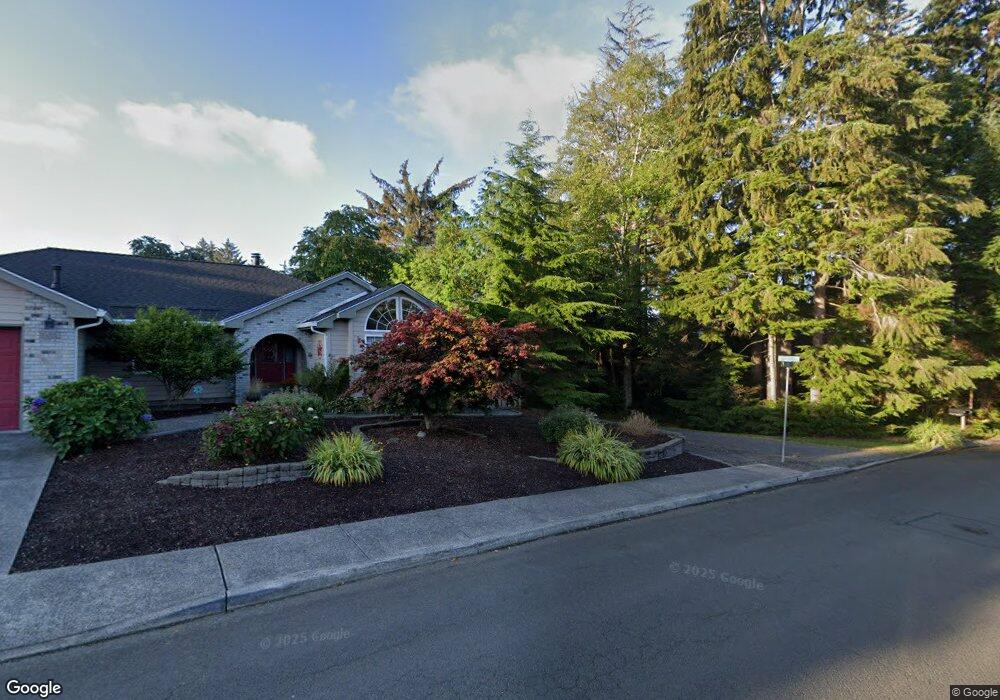
1670 Reef Dr Seaside, OR 97138
Estimated Value: $164,000 - $374,000
3
Beds
2
Baths
1,012
Sq Ft
$309/Sq Ft
Est. Value
About This Home
This home is located at 1670 Reef Dr, Seaside, OR 97138 and is currently estimated at $313,081, approximately $309 per square foot. 1670 Reef Dr is a home located in Clatsop County with nearby schools including Seaside High School.
Ownership History
Date
Name
Owned For
Owner Type
Purchase Details
Closed on
Oct 8, 2021
Sold by
Weber Sara
Bought by
White Connie
Current Estimated Value
Home Financials for this Owner
Home Financials are based on the most recent Mortgage that was taken out on this home.
Original Mortgage
$295,000
Outstanding Balance
$268,428
Interest Rate
2.8%
Mortgage Type
VA
Estimated Equity
$44,653
Purchase Details
Closed on
Sep 11, 2006
Sold by
Danton Joanne and Joanne Danton 1989 Trust
Bought by
Hutson Tom
Create a Home Valuation Report for This Property
The Home Valuation Report is an in-depth analysis detailing your home's value as well as a comparison with similar homes in the area
Home Values in the Area
Average Home Value in this Area
Purchase History
| Date | Buyer | Sale Price | Title Company |
|---|---|---|---|
| White Connie | $295,000 | None Listed On Document | |
| Hutson Tom | $75,000 | Pacific Title Company |
Source: Public Records
Mortgage History
| Date | Status | Borrower | Loan Amount |
|---|---|---|---|
| Open | White Connie | $295,000 |
Source: Public Records
Tax History Compared to Growth
Tax History
| Year | Tax Paid | Tax Assessment Tax Assessment Total Assessment is a certain percentage of the fair market value that is determined by local assessors to be the total taxable value of land and additions on the property. | Land | Improvement |
|---|---|---|---|---|
| 2025 | $1,100 | $108,093 | -- | -- |
| 2024 | $1,207 | $114,653 | -- | -- |
| 2023 | $1,171 | $111,314 | $0 | $0 |
| 2022 | $1,139 | $108,073 | $0 | $0 |
| 2021 | $1,195 | $82,394 | $0 | $0 |
| 2020 | $1,114 | $79,995 | $0 | $0 |
| 2019 | $1,054 | $76,315 | $0 | $0 |
| 2018 | $1,066 | $77,666 | $0 | $0 |
| 2017 | $1,022 | $75,405 | $0 | $0 |
| 2016 | $260 | $73,210 | $59,529 | $13,681 |
| 2014 | $915 | $69,010 | $0 | $0 |
Source: Public Records
Map
Nearby Homes
- 0 Spruce Dr Unit 682748764
- VL Spruce Dr
- 1295 Jeffrey Dr
- 1000 S King St
- 1151 S Irvine Place
- 1390 Avenue U
- 85863 Highway 101
- 84800 U S 101
- 1659 Whispering Pines Dr
- 405 S Wahanna Rd
- 1265 Avenue D
- 360 Hilltop Dr
- 1108 S Holladay Dr Unit 14
- 1108 S Holladay Dr Unit 24
- 1269 Avenue D
- 2665 S Roosevelt Dr
- 720 740 Avenue G
- 870 S Holladay Dr Unit 3
- 870 S Holladay Dr
- 720 Avenue G
- 1659 S Wahanna Rd
- 1660 Reef Dr
- 1579 S Wahanna Rd
- 1699 S Wahanna Rd
- 1640 Huckleberry Dr
- 1660 Huckleberry Dr
- 1720 Huckleberry Dr
- 1680 Huckleberry Dr
- 1500 Cooper St
- 1369 Seabright Way
- 1620 Huckleberry Dr
- Adj 1644 Cooper St
- 1371 Seabright Way
- 1740 Huckleberry Dr
- 1357 Seabright Way
- 1520 Cooper St
- 1760 Huckleberry Dr
- 1395 Seabright Way
- 1403 Seabright Way
- 1333 Seabright Way