1670 W Highway 12 Gentry, AR 72734
Estimated Value: $304,046 - $480,000
3
Beds
1
Bath
1,412
Sq Ft
$273/Sq Ft
Est. Value
About This Home
This home is located at 1670 W Highway 12, Gentry, AR 72734 and is currently estimated at $385,762, approximately $273 per square foot. 1670 W Highway 12 is a home located in Benton County with nearby schools including Vaughn Elementary, Grimsley Junior High School, and Creekside Middle School.
Ownership History
Date
Name
Owned For
Owner Type
Purchase Details
Closed on
Jul 25, 2017
Sold by
Eversole Debra S
Bought by
Hastings Chansamone
Current Estimated Value
Home Financials for this Owner
Home Financials are based on the most recent Mortgage that was taken out on this home.
Original Mortgage
$242,500
Outstanding Balance
$201,587
Interest Rate
3.91%
Mortgage Type
New Conventional
Estimated Equity
$184,175
Create a Home Valuation Report for This Property
The Home Valuation Report is an in-depth analysis detailing your home's value as well as a comparison with similar homes in the area
Home Values in the Area
Average Home Value in this Area
Purchase History
| Date | Buyer | Sale Price | Title Company |
|---|---|---|---|
| Hastings Chansamone | $250,000 | Pci Advance Title Llc |
Source: Public Records
Mortgage History
| Date | Status | Borrower | Loan Amount |
|---|---|---|---|
| Open | Hastings Chansamone | $242,500 |
Source: Public Records
Tax History Compared to Growth
Tax History
| Year | Tax Paid | Tax Assessment Tax Assessment Total Assessment is a certain percentage of the fair market value that is determined by local assessors to be the total taxable value of land and additions on the property. | Land | Improvement |
|---|---|---|---|---|
| 2025 | $1,250 | $30,169 | $6,602 | $23,567 |
| 2024 | $1,157 | $30,169 | $6,602 | $23,567 |
| 2023 | $1,051 | $18,210 | $3,420 | $14,790 |
| 2022 | $990 | $18,210 | $3,420 | $14,790 |
| 2021 | $906 | $18,210 | $3,420 | $14,790 |
| 2020 | $834 | $13,190 | $2,520 | $10,670 |
| 2019 | $834 | $13,190 | $2,520 | $10,670 |
| 2018 | $834 | $13,190 | $2,520 | $10,670 |
| 2017 | $444 | $13,190 | $2,520 | $10,670 |
| 2016 | $444 | $13,190 | $2,520 | $10,670 |
| 2015 | $761 | $12,410 | $2,160 | $10,250 |
| 2014 | $411 | $12,410 | $2,160 | $10,250 |
Source: Public Records
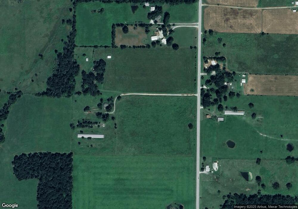
Map
Nearby Homes
- 1257 NW Malone Rd
- Tract #5 Digby Dr
- Tract #4 Digby Dr
- Tract #3 Digby Dr
- Tract #2 Digby Dr
- Tract #1 Digby Dr
- Lot 3 Digby Dr
- Lot 2 Digby Dr
- Lot 1 Digby Dr
- 9307 Digby Dr
- 492 NW Cowan Ave
- 796 NW Holland Ave
- 541 Ave
- 14400 W Cowan Rd
- Lots 2, 3, 9 & 10 Snyder Estates Rurban Phase 3
- 1452 NW Peterson Rd
- 1571 N Center St
- 9815 Digby Rd
- Tract 5 NW Peterson Rd
- Tract 4 NW Peterson Rd
- 14496 W Highway 12
- 14533 W Ar Hwy 12
- 1655 W Highway 12
- 14515 W Highway 12
- 1674 W Highway 12
- 1600 W Highway 12
- 1651 W Highway 12
- 1675 W Highway 12
- 1651 W Highway 12
- 1675 W Hwy 12
- 1805 W Highway 12
- 1886 W Highway 12
- 1401 NW Aubrey Long Rd
- 14511 W Highway 12
- 14511 W Hwy 12
- 14421 Aubrey Long Rd
- 14800 W Highway 12
- 35.12 Ac Aubrey Long Rd
- 15Ac Aubrey Long Rd
- 17.25Ac Aubrey Long Rd