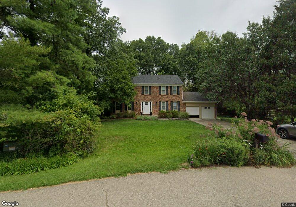
1670 Wilderness Ridge Rd Milford, OH 45150
Estimated Value: $403,000 - $457,000
4
Beds
3
Baths
2,240
Sq Ft
$190/Sq Ft
Est. Value
About This Home
This home is located at 1670 Wilderness Ridge Rd, Milford, OH 45150 and is currently estimated at $424,732, approximately $189 per square foot. 1670 Wilderness Ridge Rd is a home located in Clermont County with nearby schools including Milford Senior High School, St. Andrew - St. Elizabeth Ann Seton School, and St. Mark's Lutheran School.
Ownership History
Date
Name
Owned For
Owner Type
Purchase Details
Closed on
Jun 14, 2010
Sold by
Vanderah Laurie A
Bought by
Vanderah Laurie A and Morgan Tim
Current Estimated Value
Home Financials for this Owner
Home Financials are based on the most recent Mortgage that was taken out on this home.
Original Mortgage
$86,800
Outstanding Balance
$46,321
Interest Rate
4.86%
Mortgage Type
New Conventional
Estimated Equity
$378,411
Purchase Details
Closed on
Apr 14, 2008
Sold by
Sancholtz Philip
Bought by
Vanderah Laurie A
Home Financials for this Owner
Home Financials are based on the most recent Mortgage that was taken out on this home.
Original Mortgage
$88,500
Interest Rate
6.09%
Mortgage Type
Purchase Money Mortgage
Create a Home Valuation Report for This Property
The Home Valuation Report is an in-depth analysis detailing your home's value as well as a comparison with similar homes in the area
Home Values in the Area
Average Home Value in this Area
Purchase History
| Date | Buyer | Sale Price | Title Company |
|---|---|---|---|
| Vanderah Laurie A | -- | Prominent Title | |
| Vanderah Laurie A | $188,500 | Prominent Title Agency Llc |
Source: Public Records
Mortgage History
| Date | Status | Borrower | Loan Amount |
|---|---|---|---|
| Open | Vanderah Laurie A | $86,800 | |
| Closed | Vanderah Laurie A | $88,500 |
Source: Public Records
Tax History Compared to Growth
Tax History
| Year | Tax Paid | Tax Assessment Tax Assessment Total Assessment is a certain percentage of the fair market value that is determined by local assessors to be the total taxable value of land and additions on the property. | Land | Improvement |
|---|---|---|---|---|
| 2024 | $4,621 | $101,430 | $20,790 | $80,640 |
| 2023 | $4,669 | $101,430 | $20,790 | $80,640 |
| 2022 | $4,338 | $71,750 | $14,700 | $57,050 |
| 2021 | $4,343 | $71,750 | $14,700 | $57,050 |
| 2020 | $4,162 | $71,750 | $14,700 | $57,050 |
| 2019 | $4,156 | $68,010 | $14,460 | $53,550 |
| 2018 | $4,157 | $68,010 | $14,460 | $53,550 |
| 2017 | $4,093 | $68,010 | $14,460 | $53,550 |
| 2016 | $3,874 | $57,650 | $12,250 | $45,400 |
| 2015 | $3,614 | $57,650 | $12,250 | $45,400 |
| 2014 | $3,614 | $57,650 | $12,250 | $45,400 |
| 2013 | $3,813 | $58,980 | $12,250 | $46,730 |
Source: Public Records
Map
Nearby Homes
- 957 Tarragon Ln
- 1706 Cottontail Dr
- 1010 Newberry Ave
- 5897 Cook Rd
- 977 Newberry Ave
- 5806 Stonebridge Cir
- 5612 Flagstone Way
- 5880 Stonebridge Cir
- 772 Price Knoll Ln
- 6211 Cook Rd
- 1007 Valley View Dr
- 1113 Clover Field Dr
- 1139 Willowwood Dr
- 6149 Century Farm Dr
- 1201 Sorrel Ln
- 5942 Pinto Place
- 6077 Branch Hill Guinea Pike
- 5702 Sherwood Dr
- 5975 Buckwheat Rd
- 6320 Ashford Dr
- 1672 Wilderness Ridge Rd
- 1672 Wilderness Way
- 1668 Wilderness Ridge Rd
- 1668 Wilderness Ridge Dr
- 1673 Gray Fox Trail
- 6012 Cook Rd
- 1675 Gray Fox Trail
- 1671 Gray Fox Trail
- 1674 Wilderness Ridge Rd
- 1671 Wilderness Ridge Dr
- 1671 Wilderness Ridge Rd
- 6008 Cook Rd
- 1669 Gray Fox Trail
- 1677 Gray Fox Trail
- 1676 Wilderness Ridge Rd
- 6015 Wildridge Ln
- 5969 Cook Rd
- 6006 Cook Rd
- 5967 Cook Rd
- 1679 Gray Fox Trail