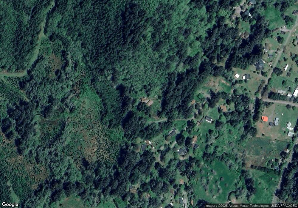
16700 Southpoint Dr Nehalem, OR 97131
Estimated Value: $344,000 - $546,000
2
Beds
2
Baths
1,560
Sq Ft
$267/Sq Ft
Est. Value
About This Home
This home is located at 16700 Southpoint Dr, Nehalem, OR 97131 and is currently estimated at $417,138, approximately $267 per square foot. 16700 Southpoint Dr is a home located in Tillamook County with nearby schools including Nehalem Elementary School, Garibaldi Elementary School, and Neah-Kah-Nie High School.
Ownership History
Date
Name
Owned For
Owner Type
Purchase Details
Closed on
Jun 18, 2020
Sold by
Chausse Clayton W
Bought by
Root Stephen R
Current Estimated Value
Home Financials for this Owner
Home Financials are based on the most recent Mortgage that was taken out on this home.
Original Mortgage
$209,000
Outstanding Balance
$185,263
Interest Rate
3.2%
Mortgage Type
New Conventional
Estimated Equity
$231,876
Create a Home Valuation Report for This Property
The Home Valuation Report is an in-depth analysis detailing your home's value as well as a comparison with similar homes in the area
Home Values in the Area
Average Home Value in this Area
Purchase History
| Date | Buyer | Sale Price | Title Company |
|---|---|---|---|
| Root Stephen R | $220,000 | Ticor Title |
Source: Public Records
Mortgage History
| Date | Status | Borrower | Loan Amount |
|---|---|---|---|
| Open | Root Stephen R | $209,000 |
Source: Public Records
Tax History Compared to Growth
Tax History
| Year | Tax Paid | Tax Assessment Tax Assessment Total Assessment is a certain percentage of the fair market value that is determined by local assessors to be the total taxable value of land and additions on the property. | Land | Improvement |
|---|---|---|---|---|
| 2024 | $2,492 | $214,130 | $71,180 | $142,950 |
| 2023 | $2,472 | $207,900 | $69,110 | $138,790 |
| 2022 | $2,124 | $201,850 | $67,100 | $134,750 |
| 2021 | $2,063 | $195,980 | $65,150 | $130,830 |
| 2020 | $1,981 | $190,280 | $63,250 | $127,030 |
| 2019 | $1,927 | $184,740 | $61,410 | $123,330 |
| 2018 | $1,880 | $179,360 | $59,620 | $119,740 |
| 2017 | $1,817 | $172,950 | $62,630 | $110,320 |
| 2016 | $1,659 | $157,170 | $65,800 | $91,370 |
| 2015 | $1,659 | $155,230 | $65,800 | $89,430 |
| 2014 | $1,774 | $164,100 | $81,820 | $82,280 |
| 2013 | -- | $165,410 | $82,580 | $82,830 |
Source: Public Records
Map
Nearby Homes
- 17005 Southpoint Dr
- 17005 S Point Dr
- 0 Miami Foley Rd Unit 800 23675675
- 0 Miami Foley Rd Unit 800&900 23-415
- 27350 Elk Trail Dr
- 22800 Miami Foley Rd
- 0 Rowe St Unit 1800
- 0 Rowe St Unit 1900
- 0 Bryant St Unit 602 604
- 333 Vosburg St
- 0 Rector St Tl 502 St
- 20th Ave
- 0 Akin St Unit 7300
- 0 3rd and Gregory Lot 12 Unit 25-157
- 0 3rd St and Gregory Unit 323848366
- 0 3rd & Gregory Lot 12 Unit 25-106
- 0 Rector St Unit TL 0502 621890899
- 378 Spruce St
- VL Lot 1 Cedar St
- 0 Cedar St Unit 294203664
- 16620 Southpoint Dr
- 16600 Southpoint Dr
- 16810 Southpoint Dr
- 16810 Southpoint Dr
- Lot 15 Foley Creek Rd
- 16615 Southpoint Dr
- 16705 Southpoint Dr
- 16815 Southpoint Dr
- 16865 Southpoint Dr
- 16510 Southpoint Dr
- 16700 Westpoint Dr
- 16505 Southpoint Dr
- 17000 Southpoint Dr
- 16595 Southpoint Dr
- 26500 Foley Way
- 17205 Southpoint Dr
- 17205 Southpoint Dr
- 16705 Westpoint Dr
- 16702 Westpoint Dr
- 16702 Westpoint Dr
