16701 E State Route 58 Raymore, MO 64083
Estimated Value: $487,000 - $646,112
3
Beds
3
Baths
2,262
Sq Ft
$240/Sq Ft
Est. Value
About This Home
This home is located at 16701 E State Route 58, Raymore, MO 64083 and is currently estimated at $543,704, approximately $240 per square foot. 16701 E State Route 58 is a home located in Cass County with nearby schools including Creekmoor Elementary School, Raymore-Peculiar East Middle School, and Raymore-Peculiar Senior High School.
Ownership History
Date
Name
Owned For
Owner Type
Purchase Details
Closed on
May 20, 2021
Sold by
Rape Cynthia A and Rape Michael K
Bought by
Missouri Highways And Trans Commission
Current Estimated Value
Purchase Details
Closed on
Jan 4, 2019
Sold by
Sackuvich James C and Sackuvich Mary L
Bought by
Copeland Robert and Copeland Amber
Home Financials for this Owner
Home Financials are based on the most recent Mortgage that was taken out on this home.
Original Mortgage
$300,000
Interest Rate
4.8%
Mortgage Type
Commercial
Purchase Details
Closed on
Jun 7, 2016
Sold by
Greb Cynthia D
Bought by
James Charles Sackuvich Revocable Trust and Mary Lisa Sackuvich Revocable Trust
Purchase Details
Closed on
Dec 6, 2005
Sold by
The Billy Joe Rape Family Partnership 2
Bought by
Rape Mary and Rape Billy Joe
Create a Home Valuation Report for This Property
The Home Valuation Report is an in-depth analysis detailing your home's value as well as a comparison with similar homes in the area
Home Values in the Area
Average Home Value in this Area
Purchase History
| Date | Buyer | Sale Price | Title Company |
|---|---|---|---|
| Missouri Highways And Trans Commission | $12,833 | None Available | |
| Copeland Robert | -- | None Available | |
| James Charles Sackuvich Revocable Trust | -- | None Available | |
| Rape Mary | -- | -- |
Source: Public Records
Mortgage History
| Date | Status | Borrower | Loan Amount |
|---|---|---|---|
| Previous Owner | Copeland Robert | $300,000 |
Source: Public Records
Tax History
| Year | Tax Paid | Tax Assessment Tax Assessment Total Assessment is a certain percentage of the fair market value that is determined by local assessors to be the total taxable value of land and additions on the property. | Land | Improvement |
|---|---|---|---|---|
| 2025 | $4,524 | $73,320 | $7,640 | $65,680 |
| 2024 | $4,524 | $65,390 | $6,940 | $58,450 |
| 2023 | $4,518 | $65,390 | $6,940 | $58,450 |
| 2022 | $3,949 | $56,930 | $6,940 | $49,990 |
| 2021 | $3,950 | $56,930 | $6,940 | $49,990 |
| 2020 | $3,929 | $55,530 | $6,940 | $48,590 |
| 2019 | $3,771 | $55,530 | $6,940 | $48,590 |
| 2018 | $2,802 | $39,790 | $5,550 | $34,240 |
| 2017 | $2,554 | $39,790 | $5,550 | $34,240 |
| 2016 | $2,554 | $38,020 | $5,550 | $32,470 |
| 2015 | $2,556 | $38,020 | $5,550 | $32,470 |
| 2014 | $2,557 | $38,020 | $5,550 | $32,470 |
| 2013 | -- | $38,020 | $5,550 | $32,470 |
Source: Public Records
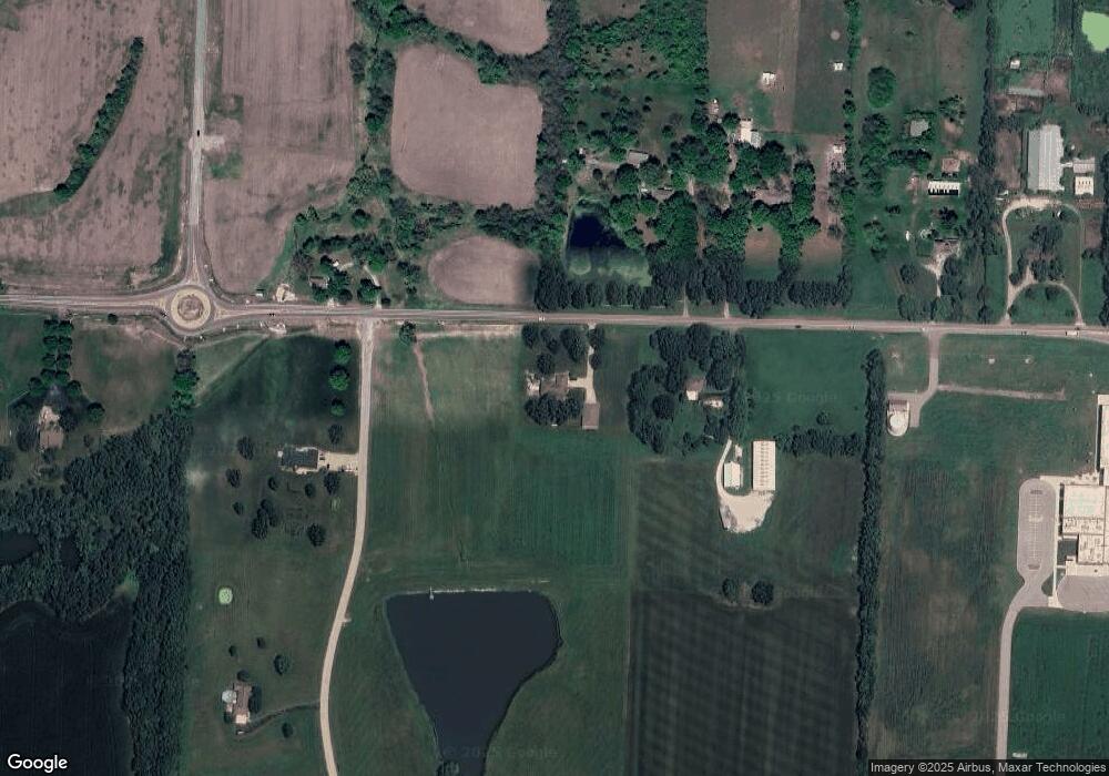
Map
Nearby Homes
- 1203 Serenity Ct
- 1201 Richards Cir
- 512 Turnbridge Dr
- 1106 James Creek Cir
- 778 Creekmoor Dr
- 911 Zennor Ln
- 1225 Kingsland Cir
- 835 Reed Dr
- 707 Hampstead Dr
- 773 Creekmoor Dr
- 901 Reed Dr
- 838 Reed Dr
- 1000 Vera Dr
- 827 Reed Dr
- 903 Reed Dr
- 819 Bridgeshire Dr
- 1217 Hampton Dr
- 708 SW Glenn Cir
- 709 SW Glenn Cir
- 713 SW Glenn Cir
- 1109 Metfield Ln
- 1111 Metfield Ln
- 1107 Metfield Ln
- 1203 Brunswick Ln
- 1205 Brunswick Ln
- 1113 Metfield Ln
- 1108 Metfield Ln
- 1201 Brunswick Ln
- 1106 Metfield Ln
- 1207 Brunswick Ln
- 1105 Metfield Ln
- 1109 Dunvegan Ln
- 1104 Metfield Ln
- 1112 Metfield Ln
- 1115 Metfield Ln
- 1107 Dunvegan Ln
- 1114 Metfield Ln
- 1102 Metfield Ln
- 1204 Brunswick Ln
- 1202 Brunswick Ln
Your Personal Tour Guide
Ask me questions while you tour the home.