16702 Swanson Road Spur Upper Marlboro, MD 20774
Marlboro Meadows NeighborhoodEstimated Value: $898,000 - $997,000
--
Bed
3
Baths
3,410
Sq Ft
$277/Sq Ft
Est. Value
About This Home
This home is located at 16702 Swanson Road Spur, Upper Marlboro, MD 20774 and is currently estimated at $944,580, approximately $277 per square foot. 16702 Swanson Road Spur is a home located in Prince George's County with nearby schools including Patuxent Elementary School, James Madison Middle School, and Dr. Henry A. Wise Jr. High School.
Ownership History
Date
Name
Owned For
Owner Type
Purchase Details
Closed on
Apr 3, 1996
Sold by
Gravatt Andrew P
Bought by
Gravatt Andrew P and Gravatt Patricia J
Current Estimated Value
Purchase Details
Closed on
Jun 14, 1995
Sold by
Nicholson Mildred V
Bought by
Gravatt Andrew P
Home Financials for this Owner
Home Financials are based on the most recent Mortgage that was taken out on this home.
Original Mortgage
$24,200
Interest Rate
8.24%
Create a Home Valuation Report for This Property
The Home Valuation Report is an in-depth analysis detailing your home's value as well as a comparison with similar homes in the area
Home Values in the Area
Average Home Value in this Area
Purchase History
| Date | Buyer | Sale Price | Title Company |
|---|---|---|---|
| Gravatt Andrew P | -- | -- | |
| Gravatt Andrew P | $48,400 | -- |
Source: Public Records
Mortgage History
| Date | Status | Borrower | Loan Amount |
|---|---|---|---|
| Previous Owner | Gravatt Andrew P | $24,200 |
Source: Public Records
Tax History Compared to Growth
Tax History
| Year | Tax Paid | Tax Assessment Tax Assessment Total Assessment is a certain percentage of the fair market value that is determined by local assessors to be the total taxable value of land and additions on the property. | Land | Improvement |
|---|---|---|---|---|
| 2025 | $9,831 | $882,200 | $182,800 | $699,400 |
| 2024 | $9,831 | $817,767 | $0 | $0 |
| 2023 | $9,370 | $753,333 | $0 | $0 |
| 2022 | $8,808 | $688,900 | $174,600 | $514,300 |
| 2021 | $8,546 | $688,900 | $174,600 | $514,300 |
| 2020 | $8,494 | $688,900 | $174,600 | $514,300 |
| 2019 | $8,573 | $729,700 | $182,800 | $546,900 |
| 2018 | $8,212 | $681,733 | $0 | $0 |
| 2017 | $7,902 | $633,767 | $0 | $0 |
| 2016 | -- | $585,800 | $0 | $0 |
| 2015 | $6,669 | $573,233 | $0 | $0 |
| 2014 | $6,669 | $560,667 | $0 | $0 |
Source: Public Records
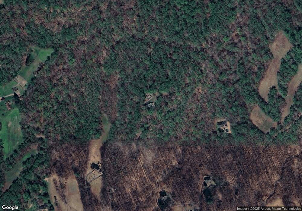
Map
Nearby Homes
- 16831 Swanson Rd
- 15303 Glastonbury Way
- 3002 Presidential Golf Dr
- 15625 Copper Beech Dr
- 15517 Glastonbury Way
- 16505 Rolling Knolls Ln
- 16503 Rolling Knolls Ln
- 16502 Rolling Knolls Ln
- 16500 Rolling Knolls Ln
- Hampton II Plan at Marshall's Landing
- Preston Plan at Marshall's Landing
- Stonehaven II Plan at Marshall's Landing
- 16201 Brookmead Ct
- 15608 Bibury Alley
- 15606 Beech Tree Pkwy
- 16115 Brookmead Ct
- 15503 Humberside Way
- 3512 Eyre Dr S
- 3604 Halloway N
- 15304 Camberley Place
- 16700 Swanson Road Spur
- 16810 Swanson Road Spur
- 16600 Swanson Road Spur
- 16800 Swanson Road Spur
- 16806 Swanson Road Spur
- 16707 Swanson Road Spur
- 16606 Swanson Road Spur
- 16606 Swanson Road Spur
- 16801 Swanson Road Spur
- 2330 Crain Hwy
- 16940 Swanson Road Spur
- 16510 Swanson Rd
- 16705 Swanson Road Spur
- 16703 Swanson Road Spur
- 17010 Swanson Road Spur
- 2320 Crain Hwy
- 2318 Crain Hwy
- 16700 Swanson Rd
- 16820 Swanson Rd
- 16702 Swanson Rd