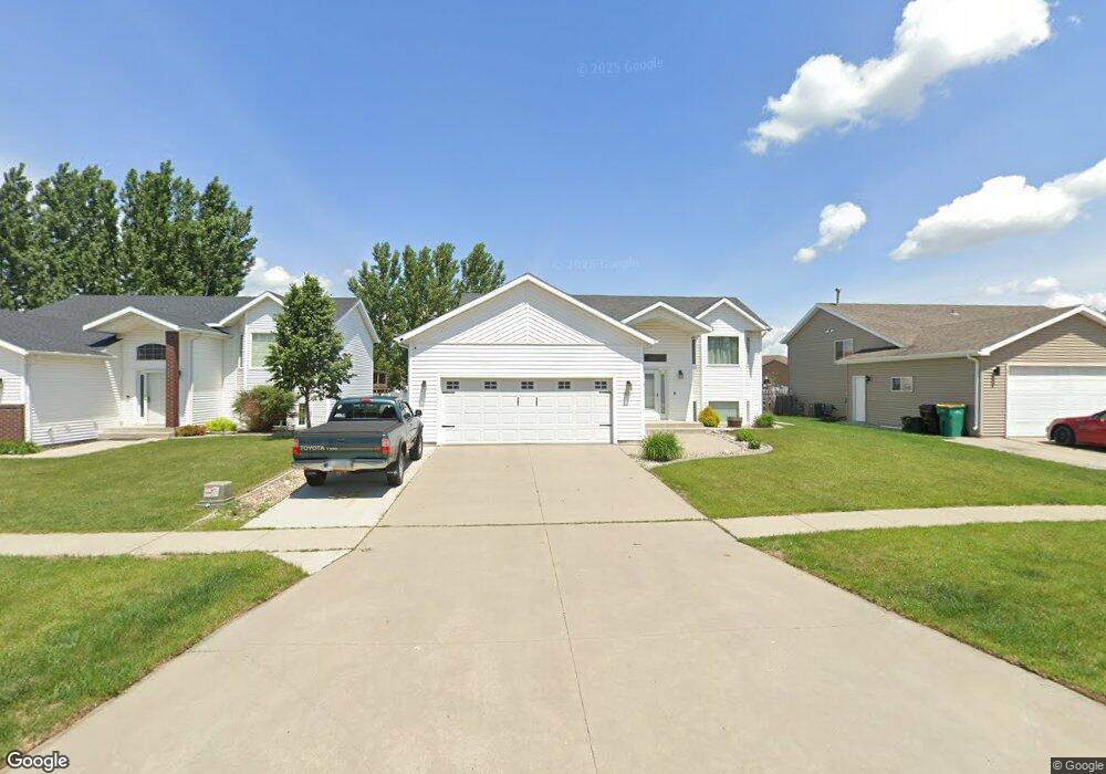
1671 10th St W West Fargo, ND 58078
Elmwood Court NeighborhoodEstimated Value: $381,000 - $392,735
4
Beds
3
Baths
2,292
Sq Ft
$169/Sq Ft
Est. Value
About This Home
This home is located at 1671 10th St W, West Fargo, ND 58078 and is currently estimated at $386,868, approximately $168 per square foot. 1671 10th St W is a home located in Cass County with nearby schools including Westside Elementary School, Cheney Middle School, and West Fargo High School.
Ownership History
Date
Name
Owned For
Owner Type
Purchase Details
Closed on
Aug 26, 2019
Sold by
Kraft Allen L and Kraft Sherry
Bought by
Sauvageau Gabriel J
Current Estimated Value
Home Financials for this Owner
Home Financials are based on the most recent Mortgage that was taken out on this home.
Original Mortgage
$251,655
Outstanding Balance
$220,881
Interest Rate
3.7%
Mortgage Type
New Conventional
Estimated Equity
$165,987
Create a Home Valuation Report for This Property
The Home Valuation Report is an in-depth analysis detailing your home's value as well as a comparison with similar homes in the area
Home Values in the Area
Average Home Value in this Area
Purchase History
| Date | Buyer | Sale Price | Title Company |
|---|---|---|---|
| Sauvageau Gabriel J | $264,900 | Title Co |
Source: Public Records
Mortgage History
| Date | Status | Borrower | Loan Amount |
|---|---|---|---|
| Open | Sauvageau Gabriel J | $251,655 |
Source: Public Records
Tax History Compared to Growth
Tax History
| Year | Tax Paid | Tax Assessment Tax Assessment Total Assessment is a certain percentage of the fair market value that is determined by local assessors to be the total taxable value of land and additions on the property. | Land | Improvement |
|---|---|---|---|---|
| 2024 | $3,837 | $151,700 | $22,650 | $129,050 |
| 2023 | $4,230 | $148,100 | $22,650 | $125,450 |
| 2022 | $4,155 | $139,450 | $22,650 | $116,800 |
| 2021 | $3,952 | $128,400 | $18,100 | $110,300 |
| 2020 | $3,642 | $122,200 | $18,100 | $104,100 |
| 2019 | $2,916 | $100,350 | $18,100 | $82,250 |
| 2018 | $3,898 | $100,350 | $18,100 | $82,250 |
| 2017 | $3,958 | $100,400 | $18,100 | $82,300 |
| 2016 | $3,710 | $98,450 | $18,100 | $80,350 |
| 2015 | $3,713 | $88,750 | $12,400 | $76,350 |
| 2014 | $3,715 | $82,950 | $12,400 | $70,550 |
| 2013 | $3,635 | $80,900 | $12,400 | $68,500 |
Source: Public Records
Map
Nearby Homes
- 1665 10th St W
- 1677 10th St W
- 1683 10th St W
- 1659 10th St W
- 835 16th Avenue Ct W
- 841 16th Avenue Ct W
- 835 16th Avenue Ct W
- 847 16th Avenue Ct W
- 1653 10th St W
- 829 16th Avenue Ct W
- 1689 10th St W
- 853 16th Avenue Ct W
- 853 16th Avenue Ct W
- 859 16th Avenue Ct W
- 1647 10th St W
- 1670 10th St W
- 1668 10th St W
- 1674 10th St W
- 1664 10th St W
- 823 16th Avenue Ct W