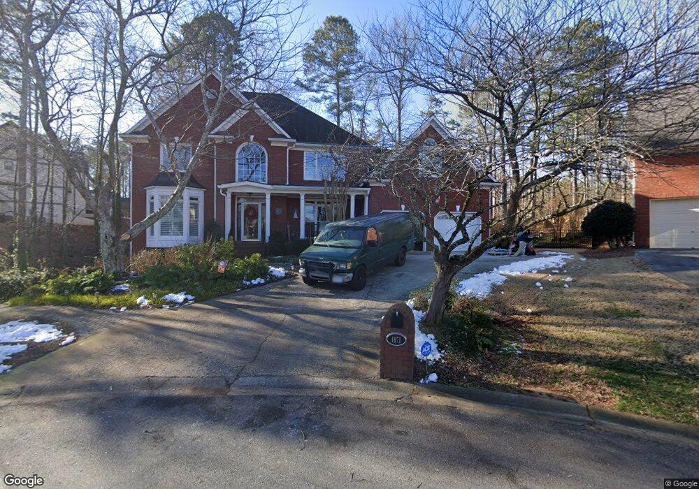
1671 Kenbrook Trace NW Unit 10 Acworth, GA 30101
Estimated Value: $614,796 - $711,000
4
Beds
4
Baths
3,648
Sq Ft
$181/Sq Ft
Est. Value
About This Home
This home is located at 1671 Kenbrook Trace NW Unit 10, Acworth, GA 30101 and is currently estimated at $659,699, approximately $180 per square foot. 1671 Kenbrook Trace NW Unit 10 is a home located in Cobb County with nearby schools including Ford Elementary School, Durham Middle School, and Harrison High School.
Ownership History
Date
Name
Owned For
Owner Type
Purchase Details
Closed on
May 20, 2011
Sold by
Swick Michael M
Bought by
Swick Michael M and Swick Julie C
Current Estimated Value
Home Financials for this Owner
Home Financials are based on the most recent Mortgage that was taken out on this home.
Original Mortgage
$150,000
Interest Rate
4.71%
Mortgage Type
New Conventional
Purchase Details
Closed on
Mar 18, 1994
Sold by
Chapline Props Inc
Bought by
Swick Michael M
Home Financials for this Owner
Home Financials are based on the most recent Mortgage that was taken out on this home.
Original Mortgage
$180,000
Interest Rate
7.2%
Create a Home Valuation Report for This Property
The Home Valuation Report is an in-depth analysis detailing your home's value as well as a comparison with similar homes in the area
Home Values in the Area
Average Home Value in this Area
Purchase History
| Date | Buyer | Sale Price | Title Company |
|---|---|---|---|
| Swick Michael M | -- | -- | |
| Swick Michael M | $272,000 | -- |
Source: Public Records
Mortgage History
| Date | Status | Borrower | Loan Amount |
|---|---|---|---|
| Closed | Swick Michael M | $150,000 | |
| Previous Owner | Swick Michael M | $180,000 |
Source: Public Records
Tax History Compared to Growth
Tax History
| Year | Tax Paid | Tax Assessment Tax Assessment Total Assessment is a certain percentage of the fair market value that is determined by local assessors to be the total taxable value of land and additions on the property. | Land | Improvement |
|---|---|---|---|---|
| 2024 | $1,578 | $289,964 | $60,000 | $229,964 |
| 2023 | $1,104 | $200,496 | $26,000 | $174,496 |
| 2022 | $1,310 | $200,496 | $26,000 | $174,496 |
| 2021 | $1,206 | $165,836 | $26,000 | $139,836 |
| 2020 | $3,867 | $152,848 | $26,000 | $126,848 |
| 2019 | $3,867 | $152,848 | $26,000 | $126,848 |
| 2018 | $3,440 | $133,320 | $26,000 | $107,320 |
| 2017 | $3,310 | $133,320 | $26,000 | $107,320 |
| 2016 | $3,187 | $127,488 | $24,800 | $102,688 |
| 2015 | $3,301 | $129,468 | $23,200 | $106,268 |
| 2014 | $3,324 | $129,468 | $0 | $0 |
Source: Public Records
Map
Nearby Homes
- 6065 Victoria Falls Overlook NW
- 1500 Downington Run NW
- 1509 Downington Run NW
- 1707 Kenbrook Ct NW
- 1220 Waterfall Ln NW
- 1354 Benbrooke Ln NW
- 6168 Sweet Birch Ct
- Washington Plan at Ford Landing - Signature Series
- Grant Plan at Ford Landing - Signature Series
- Franklin II Plan at Ford Landing - Signature Series
- Emma Plan at Ford Landing - Signature Series
- 1403 Benbrooke Cir NW
- 1382 Benbrooke Ln NW
- 1422 Benbrooke Ridge NW Unit 15
- 6416 Vicksburg Ct NW
- 1390 Downington View NW Unit VI
- 6159 Fernstone Ct NW
- 1391 Benbrooke Ln NW
- 1377 Downington Ln NW
- 1673 Kenbrook Trace NW Unit 10
- 6050 Victoria Falls Overlook NW
- 6050 Victoria Fls Ovrlook NW
- 1675 Kenbrook Trace NW
- 1670 Kenbrook Trace NW
- 6040 Victoria Falls Overlook NW
- 1672 Kenbrook Trace NW Unit 10
- 1702 Kenbrook Ct NW Unit 10
- 1700 Kenbrook Ct NW
- 6056 Victoria Falls Overlook NW
- 1677 Kenbrook Trace NW
- 1674 Kenbrook Trace NW
- 6047 Victoria Falls Overlook NW
- 1676 Kenbrook Trace NW
- 1679 Kenbrook Trace NW
- 1704 Kenbrook Ct NW
- 6062 Victoria Falls Overlook NW
- 1701 Kenbrook Ct NW Unit 10
- 1320 Victoria Falls Dr NW
- 1678 Kenbrook Trace NW