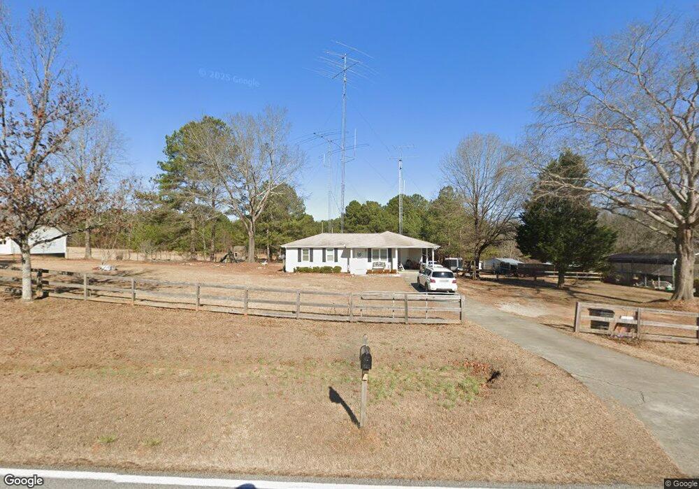
1671 Michael Rd Monroe, GA 30656
Estimated Value: $175,679 - $349,000
Studio
--
Bath
1,036
Sq Ft
$256/Sq Ft
Est. Value
About This Home
This home is located at 1671 Michael Rd, Monroe, GA 30656 and is currently estimated at $265,420, approximately $256 per square foot. 1671 Michael Rd is a home located in Walton County with nearby schools including Monroe Elementary School, Carver Middle School, and Monroe Area High School.
Ownership History
Date
Name
Owned For
Owner Type
Purchase Details
Closed on
Oct 22, 2019
Sold by
Wheeler Ryan
Bought by
Wheeler Ryan and Wheeler Holly
Current Estimated Value
Home Financials for this Owner
Home Financials are based on the most recent Mortgage that was taken out on this home.
Original Mortgage
$96,000
Outstanding Balance
$83,720
Interest Rate
3.6%
Mortgage Type
New Conventional
Estimated Equity
$181,700
Purchase Details
Closed on
Oct 14, 2005
Sold by
Ward Chad M and Ward Judy
Bought by
Wheeler Ryan
Home Financials for this Owner
Home Financials are based on the most recent Mortgage that was taken out on this home.
Original Mortgage
$96,938
Interest Rate
5.76%
Mortgage Type
New Conventional
Create a Home Valuation Report for This Property
The Home Valuation Report is an in-depth analysis detailing your home's value as well as a comparison with similar homes in the area
Home Values in the Area
Average Home Value in this Area
Purchase History
| Date | Buyer | Sale Price | Title Company |
|---|---|---|---|
| Wheeler Ryan | -- | -- | |
| Wheeler Ryan | $95,000 | -- |
Source: Public Records
Mortgage History
| Date | Status | Borrower | Loan Amount |
|---|---|---|---|
| Open | Wheeler Ryan | $96,000 | |
| Previous Owner | Wheeler Ryan | $96,938 |
Source: Public Records
Map
Nearby Homes
- 1790 Michael Rd NW
- 1811 Michael Rd
- 1393 Michael Rd NW
- 2891 Ike Stone Rd
- 2101 Apalachee Trail
- TRACT 7 Bradley Gin Rd
- TRACT 3 Bradley Gin Rd
- TRACT 1 Bradley Gin Rd
- TRACT 5 Bradley Gin Rd
- TRACT 4 Bradley Gin Rd
- TRACT 2 Bradley Gin Rd
- 744 Belle Vista St
- 564 Belle Woode St
- 970 John W Breedlove Rd
- 1537 Lakeland Dr
- 950 John W Breedlove Rd NW
- 3020 Shoal Creek Rd NW
- 1186 Emmas Path
- 216 Saddle Creek Dr
- 1191 Dove Creek Rd
- 1661 Michael Rd
- 1681 Michael Rd
- 0 Carl Moon Rd Unit 8388193
- 0 Carl Moon Rd Unit 8087234
- 0 Carl Moon Rd Unit 5764782
- 3490 Carl Moon Rd NW
- 1691 Michael Rd
- 1670 Michael Rd NW
- 3175 Hearn Rd NW
- 1690 Michael Rd NW
- 3155 Hearn Rd NW
- 1710 Michael Rd NW
- 3431 Carl Moon Rd NW
- 3110 Hearn Rd NW
- 3135 Hearn Rd NW
- 3115 Hearn Rd NW
- 2105 Carl Moon Rd NW
- 1740 Michael Rd NW
- 3440 Carl Moon Rd NW
- 3440 Carl Moon Rd NW Unit 14.79 Acr
Your Personal Tour Guide
Ask me questions while you tour the home.