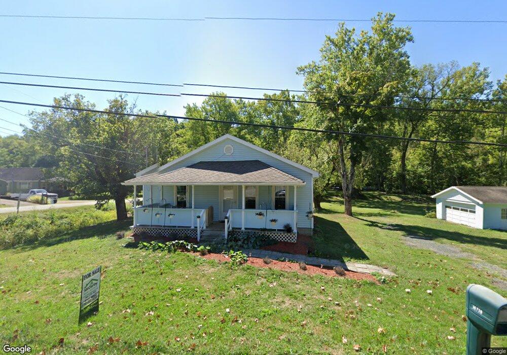
16710 State Route 550 Marietta, OH 45750
Estimated Value: $162,000 - $179,000
2
Beds
1
Bath
900
Sq Ft
$189/Sq Ft
Est. Value
About This Home
This home is located at 16710 State Route 550, Marietta, OH 45750 and is currently estimated at $169,916, approximately $188 per square foot. 16710 State Route 550 is a home located in Washington County with nearby schools including Warren High School.
Ownership History
Date
Name
Owned For
Owner Type
Purchase Details
Closed on
Dec 23, 2024
Sold by
Johnson Ray Howard and Johnson Penny D
Bought by
Kephart Colton L
Current Estimated Value
Home Financials for this Owner
Home Financials are based on the most recent Mortgage that was taken out on this home.
Original Mortgage
$161,000
Outstanding Balance
$159,739
Interest Rate
6.81%
Mortgage Type
VA
Estimated Equity
$10,177
Purchase Details
Closed on
Sep 19, 2012
Sold by
Reynolds Crystal L
Bought by
Johnson Ray H and Johnson Penny D
Create a Home Valuation Report for This Property
The Home Valuation Report is an in-depth analysis detailing your home's value as well as a comparison with similar homes in the area
Home Values in the Area
Average Home Value in this Area
Purchase History
| Date | Buyer | Sale Price | Title Company |
|---|---|---|---|
| Kephart Colton L | $161,000 | Title First Agency | |
| Kephart Colton L | $161,000 | Title First Agency | |
| Johnson Ray H | $22,000 | Attorney |
Source: Public Records
Mortgage History
| Date | Status | Borrower | Loan Amount |
|---|---|---|---|
| Open | Kephart Colton L | $161,000 | |
| Closed | Kephart Colton L | $161,000 |
Source: Public Records
Tax History Compared to Growth
Tax History
| Year | Tax Paid | Tax Assessment Tax Assessment Total Assessment is a certain percentage of the fair market value that is determined by local assessors to be the total taxable value of land and additions on the property. | Land | Improvement |
|---|---|---|---|---|
| 2024 | $939 | $35,300 | $6,750 | $28,550 |
| 2023 | $939 | $24,180 | $6,750 | $17,430 |
| 2022 | $940 | $24,180 | $6,750 | $17,430 |
| 2021 | $640 | $15,740 | $5,310 | $10,430 |
| 2020 | $640 | $15,740 | $5,310 | $10,430 |
| 2019 | $631 | $15,740 | $5,310 | $10,430 |
| 2018 | $583 | $14,100 | $4,620 | $9,480 |
| 2017 | $580 | $14,100 | $4,620 | $9,480 |
| 2016 | $718 | $14,100 | $4,620 | $9,480 |
| 2015 | $613 | $16,520 | $4,670 | $11,850 |
| 2014 | $850 | $16,520 | $4,670 | $11,850 |
| 2013 | $265 | $14,410 | $4,670 | $9,740 |
Source: Public Records
Map
Nearby Homes
- 2021 Robinson Hill Rd
- 254 Riggenbach Hill Rd
- 65 High Point Dr
- 203 57th St
- 302 57th St
- 411 58th St
- 407 56th St
- 0 River Rd Unit Lot WP001
- 5607 Grand Central Ave
- 53 Central Dr
- 5505 6th Ave
- 0 Fisher Ridge Rd Tract 8
- 0 Fisher Ridge Rd Tract 7
- 0 Fisher Ridge Rd Tract 6
- 375 Belavista Dr
- 20645 Ohio 676
- 0 Fisher Ridge Rd Tract 5
- 604 51st St
- 0 Fisher Ridge Rd Tract 4
- 116 Pineview Dr
- 450 Wentz Rd
- 16650 State Route 550
- 440 Wentz Rd
- 45 Wynnwood Dr
- 16750 State Route 550
- 16619 Ohio 550
- 85 Wynnwood Dr
- 425 Wentz Rd
- 16770 Oh 550
- 16770 State Route 550
- 100 Wynnwood Dr
- 95 Wynnwood Dr
- 95 Wynnwood Dr
- 16560 State Route 550
- 105 Wynnwood Dr
- 120 Wynnwood Dr
- 60 Wynncrest Dr
- 00 Rt 550
- 140 Wynnwood Dr
- 135 Wynnwood Dr