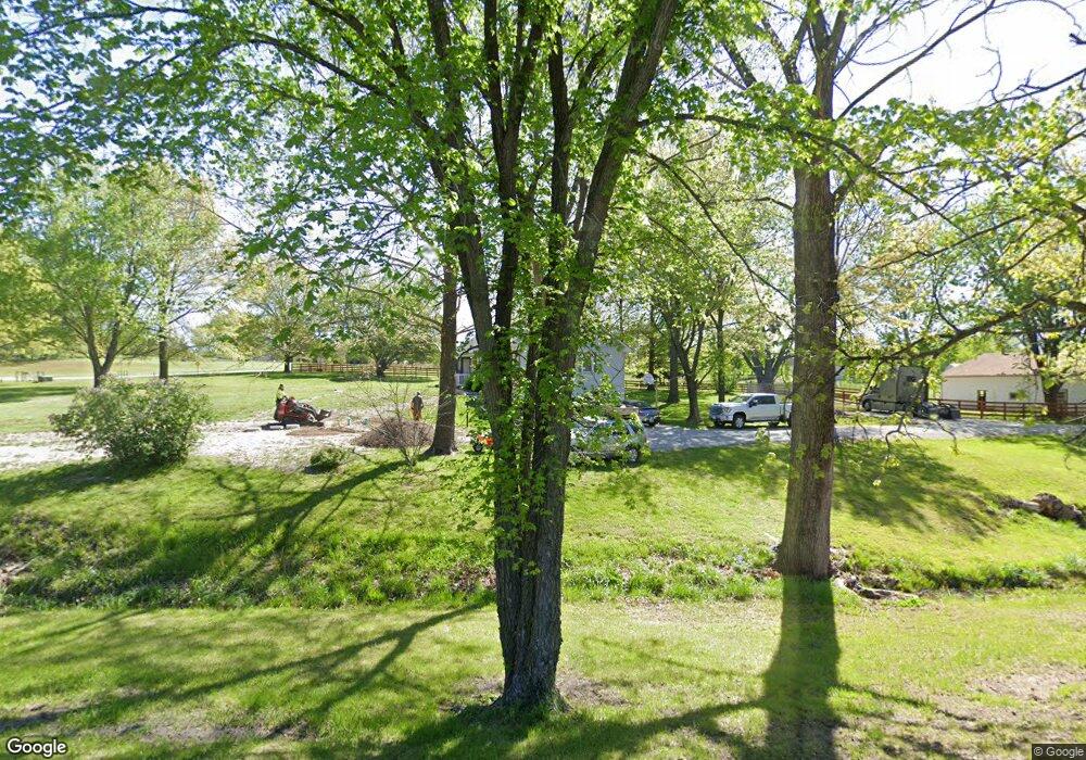
16719 Ragsdale Rd Kearney, MO 64060
Estimated Value: $404,423 - $488,000
3
Beds
3
Baths
1,479
Sq Ft
$311/Sq Ft
Est. Value
About This Home
This home is located at 16719 Ragsdale Rd, Kearney, MO 64060 and is currently estimated at $460,106, approximately $311 per square foot. 16719 Ragsdale Rd is a home located in Clay County with nearby schools including Kearney Junior High School and Kearney High School.
Ownership History
Date
Name
Owned For
Owner Type
Purchase Details
Closed on
Jun 25, 2010
Sold by
Mcnary Carrie I
Bought by
Crawford Wilma Jean
Current Estimated Value
Create a Home Valuation Report for This Property
The Home Valuation Report is an in-depth analysis detailing your home's value as well as a comparison with similar homes in the area
Home Values in the Area
Average Home Value in this Area
Purchase History
| Date | Buyer | Sale Price | Title Company |
|---|---|---|---|
| Crawford Wilma Jean | -- | Missouri Secured Title Liber |
Source: Public Records
Tax History Compared to Growth
Tax History
| Year | Tax Paid | Tax Assessment Tax Assessment Total Assessment is a certain percentage of the fair market value that is determined by local assessors to be the total taxable value of land and additions on the property. | Land | Improvement |
|---|---|---|---|---|
| 2025 | $2,928 | $53,180 | -- | -- |
| 2024 | $2,928 | $46,280 | -- | -- |
| 2023 | $2,917 | $46,280 | $0 | $0 |
| 2022 | $2,789 | $42,850 | $0 | $0 |
| 2021 | $2,729 | $42,845 | $7,410 | $35,435 |
| 2020 | $2,771 | $39,520 | $0 | $0 |
| 2019 | $2,755 | $39,520 | $0 | $0 |
| 2018 | $2,771 | $38,420 | $0 | $0 |
| 2017 | $2,207 | $38,420 | $5,320 | $33,100 |
| 2016 | $2,207 | $30,970 | $5,320 | $25,650 |
| 2015 | $2,207 | $30,970 | $5,320 | $25,650 |
| 2014 | $2,140 | $29,870 | $5,320 | $24,550 |
Source: Public Records
Map
Nearby Homes
- 16211 Dr
- 16115 Kountry Ridge Dr
- 15617 Oakmont Dr
- 15025 Jesse James Farm Rd
- 610 E Porter Ridge Ct
- 0 N Jefferson St Mo-33 Hwy Unit HMS2578203
- 102 W Lawrence St
- 205 E Washington St
- 201 E Washington St
- 21619 NE 150th St
- Lot 12 Melinda Dr
- Lot 14 Melinda Dr
- Lot 1 Melinda Dr
- Lot 3 Melinda Dr
- Lot 5 Melinda Dr
- Lot 13 Melinda Dr
- Lot 15 Melinda Dr
- Lot 2 Melinda Dr
- Lot 4 Melinda Dr
- Lot 8 Melinda Dr
- 16706 Ragsdale Rd
- 20617 Michael Dr
- 16720 Ragsdale Rd
- 16800 Ragsdale Rd
- 16623 Ragsdale Rd
- 20616 Michael Dr
- 16618 Ragsdale Rd
- 16816 Ragsdale Rd
- 16813 Ragsdale Rd
- 16609 Ragsdale Rd
- 20807 Michael Dr
- 20819 Michael Dr
- 20223 Cole Rd
- 20800 Leesa Ln
- 16826 Ragsdale Rd
- 20818 Michael Dr
- 16815 Cole Rd
- 16827 Ragsdale Rd
- 20207 Cole Rd
- 16823 Cole Rd