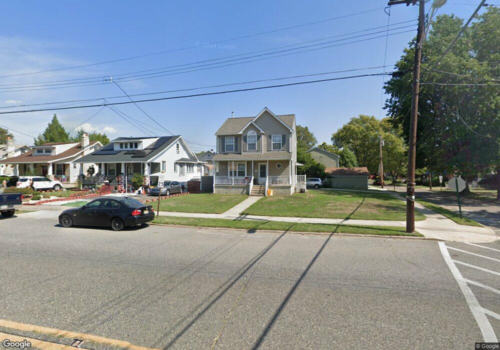
1672 Browning Rd Pennsauken, NJ 08110
Estimated Value: $244,141 - $323,000
--
Bed
--
Bath
1,254
Sq Ft
$226/Sq Ft
Est. Value
About This Home
This home is located at 1672 Browning Rd, Pennsauken, NJ 08110 and is currently estimated at $283,785, approximately $226 per square foot. 1672 Browning Rd is a home located in Camden County with nearby schools including Pennsauken High School, Camdens Promise Charter School, and St. Peter Elementary School.
Ownership History
Date
Name
Owned For
Owner Type
Purchase Details
Closed on
May 30, 1997
Sold by
Tocco Peter S
Bought by
Tran Thao and Tran Dung Van
Current Estimated Value
Home Financials for this Owner
Home Financials are based on the most recent Mortgage that was taken out on this home.
Original Mortgage
$99,000
Outstanding Balance
$14,020
Interest Rate
7.86%
Mortgage Type
FHA
Estimated Equity
$269,765
Create a Home Valuation Report for This Property
The Home Valuation Report is an in-depth analysis detailing your home's value as well as a comparison with similar homes in the area
Home Values in the Area
Average Home Value in this Area
Purchase History
| Date | Buyer | Sale Price | Title Company |
|---|---|---|---|
| Tran Thao | $99,900 | -- |
Source: Public Records
Mortgage History
| Date | Status | Borrower | Loan Amount |
|---|---|---|---|
| Open | Tran Thao | $99,000 |
Source: Public Records
Tax History Compared to Growth
Tax History
| Year | Tax Paid | Tax Assessment Tax Assessment Total Assessment is a certain percentage of the fair market value that is determined by local assessors to be the total taxable value of land and additions on the property. | Land | Improvement |
|---|---|---|---|---|
| 2025 | $6,545 | $259,200 | $52,200 | $207,000 |
| 2024 | $6,419 | $150,400 | $40,700 | $109,700 |
| 2023 | $6,419 | $150,400 | $40,700 | $109,700 |
| 2022 | $5,804 | $150,400 | $40,700 | $109,700 |
| 2021 | $5,960 | $150,400 | $40,700 | $109,700 |
| 2020 | $5,339 | $150,400 | $40,700 | $109,700 |
| 2019 | $5,401 | $150,400 | $40,700 | $109,700 |
| 2018 | $5,429 | $150,400 | $40,700 | $109,700 |
| 2017 | $5,440 | $150,400 | $40,700 | $109,700 |
| 2016 | $5,342 | $150,400 | $40,700 | $109,700 |
| 2015 | $5,502 | $150,400 | $40,700 | $109,700 |
| 2014 | $5,395 | $97,000 | $21,200 | $75,800 |
Source: Public Records
Map
Nearby Homes
- 1666 Browning Rd
- 1903 Tinsman Ave
- 1828 47th St
- 1715 47th St
- 1938 W River Dr
- 4747 Westfield Ave
- 1506 Hollinshed Ave
- 5501 River Rd
- 2154 Browning Rd
- 1722 44th St
- 1824 44th St
- 1744 43rd St
- 5507 Wayne Ave
- 2217 Hollinshed Ave
- 6036 Washington Ave
- 2146 44th St
- 2254 Hollinshed Ave
- 2117 Scovel Ave
- 1408 Hillside Terrace
- 2117 Penn St
- 1677 Tinsman Ave
- 1660 Browning Rd
- 1708 Browning Rd
- 1665 Tinsman Ave
- 1661 Tinsman Ave
- 1654 Browning Rd
- 1671 Browning Rd
- 1653 Tinsman Ave
- 1648 Browning Rd
- 1701 Browning Rd
- 1714 Browning Rd
- 1713 Tinsman Ave
- 1663 Browning Rd
- 1709 Browning Rd
- 1647 Tinsman Ave
- 1655 Browning Rd
- 1642 Browning Rd
- 1729 Tinsman Ave
- 1719 Tinsman Ave
- 1678 Tinsman Ave