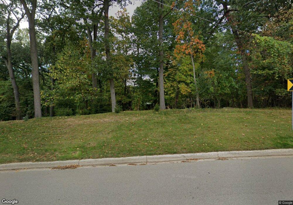
1672 Lone Pine Rd Bloomfield Hills, MI 48302
Estimated Value: $675,815 - $744,000
2
Beds
4
Baths
2,573
Sq Ft
$280/Sq Ft
Est. Value
About This Home
This home is located at 1672 Lone Pine Rd, Bloomfield Hills, MI 48302 and is currently estimated at $721,704, approximately $280 per square foot. 1672 Lone Pine Rd is a home located in Oakland County with nearby schools including Wylie E. Groves High School, West Maple Elementary School, and Berkshire Middle School.
Ownership History
Date
Name
Owned For
Owner Type
Purchase Details
Closed on
Oct 14, 2025
Sold by
Sheriff Of Oakland County
Bought by
Clark Marsha Lorraine
Current Estimated Value
Purchase Details
Closed on
Aug 27, 2025
Sold by
Michael S Sherman Do Pc and Sherman Michael S
Bought by
Chapel-Pearch John and Chapel-Pearch Thomas Lavern
Purchase Details
Closed on
Jul 29, 2025
Sold by
Shirley T Sherrod Md Pc and Sherrod Shirley T
Bought by
Michael S Sherman Do Pc and Physician Eye Care Associates Of Garden City
Purchase Details
Closed on
Jul 22, 2025
Sold by
Oakland County
Bought by
Michael S Sherman Do Pc and Sherman
Create a Home Valuation Report for This Property
The Home Valuation Report is an in-depth analysis detailing your home's value as well as a comparison with similar homes in the area
Home Values in the Area
Average Home Value in this Area
Purchase History
| Date | Buyer | Sale Price | Title Company |
|---|---|---|---|
| Clark Marsha Lorraine | $304,901 | None Listed On Document | |
| Chapel-Pearch John | -- | None Listed On Document | |
| Michael S Sherman Do Pc | $380,000 | -- | |
| Michael S Sherman Do Pc | $380,000 | -- | |
| Michael S Sherman Do Pc | $380,000 | None Listed On Document | |
| Michael S Sherman Do Pc | $380,000 | None Listed On Document |
Source: Public Records
Tax History Compared to Growth
Tax History
| Year | Tax Paid | Tax Assessment Tax Assessment Total Assessment is a certain percentage of the fair market value that is determined by local assessors to be the total taxable value of land and additions on the property. | Land | Improvement |
|---|---|---|---|---|
| 2024 | $3,684 | $239,140 | $0 | $0 |
| 2023 | $3,536 | $222,890 | $0 | $0 |
| 2022 | $5,985 | $222,730 | $0 | $0 |
| 2021 | $6,035 | $237,190 | $0 | $0 |
| 2020 | $3,397 | $225,230 | $0 | $0 |
| 2019 | $6,026 | $222,300 | $0 | $0 |
| 2018 | $5,981 | $209,770 | $0 | $0 |
| 2017 | $5,977 | $200,220 | $0 | $0 |
| 2016 | $6,010 | $212,130 | $0 | $0 |
| 2015 | -- | $198,920 | $0 | $0 |
| 2014 | -- | $177,130 | $0 | $0 |
| 2011 | -- | $138,460 | $0 | $0 |
Source: Public Records
Map
Nearby Homes
- 1715 Lone Pine Rd
- 1732 Blair House Ct
- 4616 Coachmaker Dr
- 0000 Mark Hopkins Rd
- 1462 Sodon Ct
- 4268 Covered Bridge Rd
- 5570 Forman Dr
- 4265 Pine Tree Trail
- 5100 Kings Gate Way
- 5008 Kings Gate Way
- 4603 Hedgewood Dr
- 5897 Sutters Ln
- 1992 Bent Tree Trail
- 4297 Wabeek Lake Dr S Unit 26
- 1795 Golf Ridge Dr Unit 19
- 5620 Inkster Rd
- 4766 Overton Cove
- 5621 Eastman Blvd
- 5904 Wing Lake Rd
- 4768 Wendrick Dr
- 1700 Lone Pine Rd
- 1650 Lone Pine Rd
- 4940 Rands Rd
- 1706 Lone Pine Rd
- 5011 Van Ness Dr
- 4960 Rands Rd
- 5032 Van Ness Dr
- 5060 Van Ness Dr
- 5025 Van Ness Dr
- 5068 Van Ness Dr
- 4995 Malibu Dr
- 4987 Malibu Dr
- 1671 Keller Ln
- 1641 Lone Pine Rd Unit Bldg-Unit
- 1641 Lone Pine Rd
- 4920 Rands Rd
- 5039 Van Ness Dr
- 5072 Van Ness Dr
- 1685 Keller Ln
- 4979 Malibu Dr
