1672 Lost Ln Grayling, MI 49738
Estimated Value: $356,000 - $746,000
3
Beds
1
Bath
2,100
Sq Ft
$237/Sq Ft
Est. Value
About This Home
This home is located at 1672 Lost Ln, Grayling, MI 49738 and is currently estimated at $498,649, approximately $237 per square foot. 1672 Lost Ln is a home with nearby schools including Grayling Elementary School, Grayling Middle School, and Grayling High School.
Ownership History
Date
Name
Owned For
Owner Type
Purchase Details
Closed on
Dec 21, 2007
Sold by
Ulatowski Cherie L
Bought by
Ulatowski, Cherie L Rt
Current Estimated Value
Purchase Details
Closed on
Nov 30, 2007
Bought by
Ulatowski Cherie L
Purchase Details
Closed on
Nov 7, 2006
Bought by
Ulatowski, Leonard L Trust
Purchase Details
Closed on
Mar 23, 2006
Sold by
Ulatowski Leonard L and Ulatowski Karen I
Bought by
Ulatowski, Leonard L Trust
Purchase Details
Closed on
Mar 8, 2002
Sold by
Ulatowski Leonard-Svr Trustee
Bought by
Ulatowski Leonard L
Create a Home Valuation Report for This Property
The Home Valuation Report is an in-depth analysis detailing your home's value as well as a comparison with similar homes in the area
Home Values in the Area
Average Home Value in this Area
Purchase History
| Date | Buyer | Sale Price | Title Company |
|---|---|---|---|
| Ulatowski, Cherie L Rt | -- | -- | |
| Ulatowski Cherie L | -- | -- | |
| Ulatowski, Leonard L Trust | -- | -- | |
| Ulatowski, Leonard L Trust | -- | -- | |
| Ulatowski Leonard L | -- | -- |
Source: Public Records
Tax History
| Year | Tax Paid | Tax Assessment Tax Assessment Total Assessment is a certain percentage of the fair market value that is determined by local assessors to be the total taxable value of land and additions on the property. | Land | Improvement |
|---|---|---|---|---|
| 2025 | $2,392 | $195,900 | $52,500 | $143,400 |
| 2024 | $2,109 | $177,700 | $52,500 | $125,200 |
| 2023 | $1,757 | $137,700 | $52,500 | $85,200 |
| 2022 | $3,453 | $124,800 | $52,500 | $72,300 |
| 2021 | $4,275 | $114,100 | $52,500 | $61,600 |
| 2020 | $4,219 | $113,100 | $52,500 | $60,600 |
| 2019 | $4,128 | $109,600 | $52,500 | $57,100 |
| 2018 | $4,023 | $104,500 | $52,500 | $52,000 |
| 2017 | $3,308 | $118,200 | $52,500 | $65,700 |
| 2016 | $3,279 | $124,300 | $124,300 | $0 |
| 2015 | $3,868 | $124,300 | $0 | $0 |
| 2014 | -- | $134,200 | $0 | $0 |
| 2013 | -- | $135,800 | $0 | $0 |
Source: Public Records
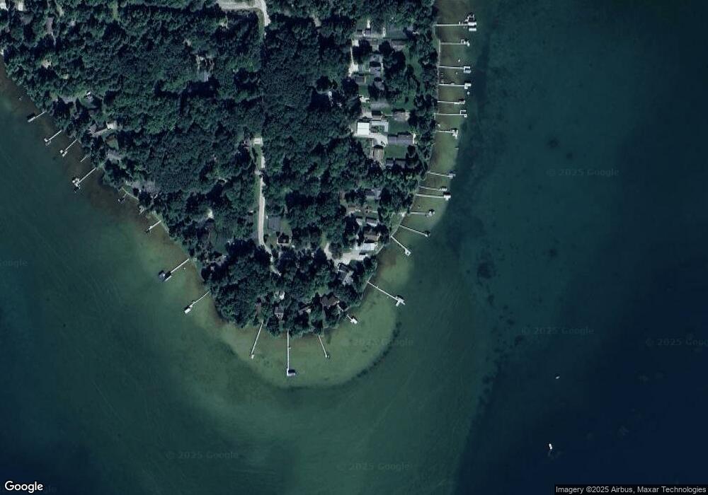
Map
Nearby Homes
- 000 Ray Ave
- 0 Battalion Blvd Unit 1940218
- V/L 6 Lots Battalion Blvd
- 9246 Outing Place
- VL 20-29 Monroe Ave
- V/L L18-21 Monroe Ave
- 10333 Madison Ave
- 2916 N Portage Ave
- 8063 Collen Ave
- 6960 Trem Pal Rd
- V/L Lot 9 Norseman Dr
- V/L Lot 2 Norseman Dr
- V/L Lot 10 Norseman Dr
- V/L Lot 1 Norseman Dr
- 155 Tamarack Cir
- 11846 W M-72 Hwy
- V/L L71-75 Evergreen Dr
- 5973 W M-72 Hwy
- 000 W M-72 Hwy
- 15981 Snay Dr SE
- 9422 Ray Ave
- 1668 Lost Ln
- 9462 Ray Ave
- 1660 Lost Ln
- 9433 Spinnaker St
- 9453 Ray Ave
- 9405 Spinnaker St
- 9457 Spinnaker St
- 9482 Ray Ave
- 1655 Eagle Point Rd
- 9457 Ray Ave
- 9441 Spinnaker St
- 1690 Ray Ave
- 9469 Ray Ave
- 1590 Malcolm St
- 1680 Eagle Point Rd
- 9491 Ray Ave
- 9480 Spinnaker St
- 1595 Malcolm St
- 1670 Eagle Point Rd
Your Personal Tour Guide
Ask me questions while you tour the home.