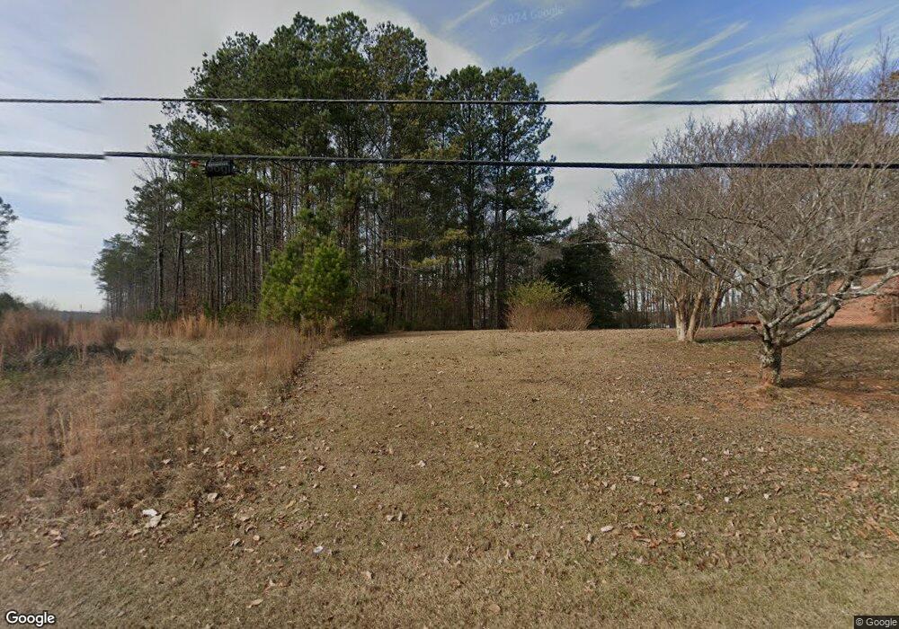
1672 Plunketts Rd Buford, GA 30519
Estimated Value: $352,000 - $1,319,097
3
Beds
2
Baths
1,478
Sq Ft
$463/Sq Ft
Est. Value
About This Home
This home is located at 1672 Plunketts Rd, Buford, GA 30519 and is currently estimated at $684,032, approximately $462 per square foot. 1672 Plunketts Rd is a home with nearby schools including Patrick Elementary School, Glenn C. Jones Middle School, and Old Suwanee Christian School.
Ownership History
Date
Name
Owned For
Owner Type
Purchase Details
Closed on
Sep 6, 2024
Sold by
Haney William Calvin Sr Trust
Bought by
Ch Realty 10 Apt 1 Atlanta Blue Ridge Ll
Current Estimated Value
Purchase Details
Closed on
Sep 5, 2024
Sold by
Haney Wm C Sr Trust
Bought by
Ch Realty X Apt I Atlanta Blue Ridge Llc
Purchase Details
Closed on
Sep 1, 2024
Sold by
Haney Wm C Sr Trust
Bought by
Ch Realty X Apt I Atlanta Blue Ridge Llc
Create a Home Valuation Report for This Property
The Home Valuation Report is an in-depth analysis detailing your home's value as well as a comparison with similar homes in the area
Home Values in the Area
Average Home Value in this Area
Purchase History
| Date | Buyer | Sale Price | Title Company |
|---|---|---|---|
| Ch Realty 10 Apt 1 Atlanta Blue Ridge Ll | -- | -- | |
| Ch Realty X Apt I Atlanta Blue Ridge Llc | -- | -- | |
| Ch Realty X Apt I Atlanta Blue Ridge Llc | -- | -- |
Source: Public Records
Tax History Compared to Growth
Tax History
| Year | Tax Paid | Tax Assessment Tax Assessment Total Assessment is a certain percentage of the fair market value that is determined by local assessors to be the total taxable value of land and additions on the property. | Land | Improvement |
|---|---|---|---|---|
| 2025 | $11,112 | $359,600 | $316,400 | $43,200 |
| 2024 | $3,050 | $363,840 | $320,640 | $43,200 |
| 2023 | $3,050 | $422,680 | $381,680 | $41,000 |
| 2022 | $400 | $264,040 | $226,560 | $37,480 |
| 2021 | $383 | $264,040 | $226,560 | $37,480 |
| 2020 | $381 | $264,040 | $226,560 | $37,480 |
| 2019 | $379 | $178,120 | $155,800 | $22,320 |
| 2018 | $360 | $178,120 | $155,800 | $22,320 |
| 2016 | $380 | $178,120 | $155,800 | $22,320 |
| 2015 | $382 | $178,120 | $155,800 | $22,320 |
| 2014 | $379 | $149,880 | $120,680 | $29,200 |
Source: Public Records
Map
Nearby Homes
- 3570 Knoll Crest Trail
- 1781 Plunketts Rd
- 1510 Oklahoma Dr
- 1785 Plunketts Rd
- 3735 Fir Dr
- 2689 Woodward Down Trail NE
- 3367 Greyhawk Crossing
- 2939 Woodward Down Trail
- 3962 Adler Cir Unit 7
- 4152 Adler Cir Unit 42
- 4202 Adler Cir
- 4002 Adler Cir
- 4202 Adler Cir Unit 47
- 3962 Adler Cir
- 4152 Adler Cir
- 1466 Clarecastle Ln
- 1970 Sturbridge Ln Unit 1
- 3476 Harvest Ridge Ln
- n/a Plunketts Rd
- 1650 Plunketts Rd
- 1651 Plunketts Rd
- 1691 Plunketts Rd
- 1698 Plunketts Rd
- 1640 Plunketts Rd
- 3620 Knoll Crest Trail
- 1641 Plunketts Rd
- 3610 Knoll Crest Trail
- 1701 Plunketts Rd
- 3600 Knoll Crest Trail
- 1630 Plunketts Rd
- 1631 Plunketts Rd
- 3590 Knoll Crest Trail
- 1620 Plunketts Rd
- 1620 Plunkett Rd
- 3580 Knoll Crest Trail
- 1718 Plunketts Rd
- 3585 Ontario Ct
- 1731 Plunketts Rd
