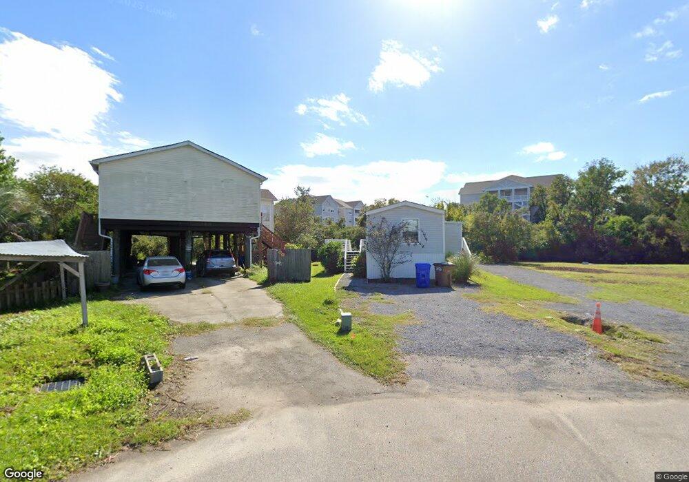
1672 Wading Heron Rd Charleston, SC 29412
James Island NeighborhoodEstimated Value: $209,000 - $469,000
4
Beds
2
Baths
1,250
Sq Ft
$292/Sq Ft
Est. Value
About This Home
This home is located at 1672 Wading Heron Rd, Charleston, SC 29412 and is currently estimated at $364,573, approximately $291 per square foot. 1672 Wading Heron Rd is a home located in Charleston County with nearby schools including James Island Elementary School, Camp Road Middle, and Septima P Clark Corporate Academy.
Ownership History
Date
Name
Owned For
Owner Type
Purchase Details
Closed on
Feb 21, 2020
Sold by
Locklair Jo Ann M and Locklair Lawrence
Bought by
Farmer Lydia
Current Estimated Value
Purchase Details
Closed on
Sep 30, 2008
Sold by
Locklair Jo Ann M and Locklair Lawrence A
Bought by
Locklair Jo Ann M and Locklair Lawrence A
Purchase Details
Closed on
Jul 7, 2006
Sold by
Robinson Jane
Bought by
Locklair Jo Ann M and Locklair Lawrence A
Purchase Details
Closed on
Oct 3, 2001
Sold by
Oestreich Virginia R
Bought by
Robinson Jane
Purchase Details
Closed on
Oct 2, 2001
Sold by
Riverfront Inc
Bought by
Oestreich Virginia R
Create a Home Valuation Report for This Property
The Home Valuation Report is an in-depth analysis detailing your home's value as well as a comparison with similar homes in the area
Home Values in the Area
Average Home Value in this Area
Purchase History
| Date | Buyer | Sale Price | Title Company |
|---|---|---|---|
| Farmer Lydia | $100,000 | None Available | |
| Locklair Jo Ann M | -- | -- | |
| Locklair Jo Ann M | $175,000 | None Available | |
| Robinson Jane | $75,000 | -- | |
| Oestreich Virginia R | $16,500 | -- |
Source: Public Records
Tax History Compared to Growth
Tax History
| Year | Tax Paid | Tax Assessment Tax Assessment Total Assessment is a certain percentage of the fair market value that is determined by local assessors to be the total taxable value of land and additions on the property. | Land | Improvement |
|---|---|---|---|---|
| 2024 | $2,539 | $8,400 | $0 | $0 |
| 2023 | $2,539 | $8,400 | $0 | $0 |
| 2022 | $2,317 | $8,400 | $0 | $0 |
| 2021 | $2,295 | $8,400 | $0 | $0 |
| 2020 | $2,010 | $7,460 | $0 | $0 |
| 2019 | $2,037 | $7,070 | $0 | $0 |
| 2017 | $1,915 | $7,070 | $0 | $0 |
| 2016 | $1,855 | $7,070 | $0 | $0 |
| 2015 | $1,750 | $7,070 | $0 | $0 |
| 2014 | $1,696 | $0 | $0 | $0 |
| 2011 | -- | $0 | $0 | $0 |
Source: Public Records
Map
Nearby Homes
- 1984 Folly Rd Unit A307
- 1984 Folly Rd Unit A314
- 1984 Folly Rd Unit A202
- 129 Howard Mary Dr Unit A
- 1624 Wigeon Ln
- 133 Alder Cir
- 1617 Refuge Run
- 118 Howard Mary Dr Unit 118B
- 117 Alder Cir
- 1588 Terns Nest Rd
- 1582 Teal Marsh Rd
- 1011 Lighterman Way
- 1106 Studdingsail Ln
- 1109 Studdingsail Ln
- 1621 Folly Creek Way Unit D8
- 1821 Folly Rd
- 2133 Tides End Rd
- 1637 Folly Creek Way Unit E12
- 960 Clearspring Dr
- 1144 Clearspring Dr
- 1670 Wading Heron Rd
- 1673 Wading Heron Rd
- 1671 Wading Heron Rd
- 1668 Wading Heron Rd
- 1669 Wading Heron Rd
- 1667 Wading Heron Rd
- 1664 Wading Heron Rd
- 1663 Wading Heron Rd
- 1662 Wading Heron Rd
- 1654 Terns Nest Rd
- 1654 Terns Nest Rd
- 1660 Wading Heron Rd
- 1659 Wading Heron Rd
- 1652 Terns Nest Rd
- 1658 Terns Nest Rd
- 1648 Terns Nest Rd
- 1658 Wading Heron Rd
- 1657 Wading Heron Rd
- 1991 Wild Wing Ln
- 1993 Wild Wing Ln