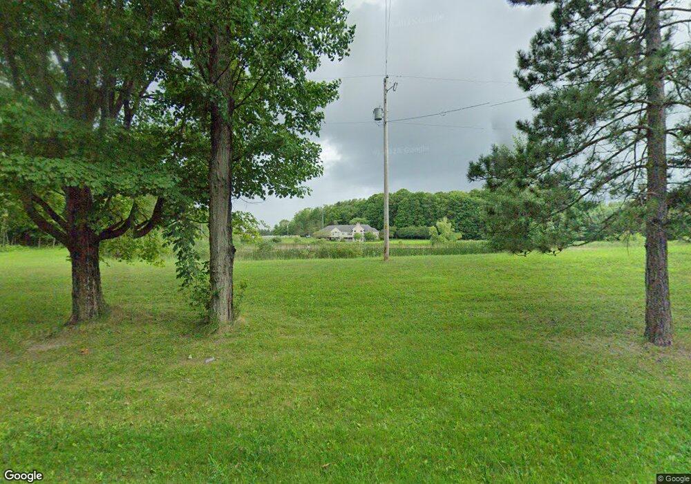
16721 220th Ave Big Rapids, MI 49307
Estimated Value: $299,000 - $1,279,969
Studio
--
Bath
9,000
Sq Ft
$104/Sq Ft
Est. Value
About This Home
This home is located at 16721 220th Ave, Big Rapids, MI 49307 and is currently estimated at $934,323, approximately $103 per square foot. 16721 220th Ave is a home located in Mecosta County with nearby schools including Big Rapids High School, Crossroads Charter Academy Elementary School, and Crossroads Charter Academy Middle/High School.
Ownership History
Date
Name
Owned For
Owner Type
Purchase Details
Closed on
Jan 18, 2008
Sold by
Fleitman Michael Lloyd and Fleitman Susan Ann
Bought by
Greenbay Daryle L and Greenbay Karen I
Current Estimated Value
Home Financials for this Owner
Home Financials are based on the most recent Mortgage that was taken out on this home.
Original Mortgage
$417,000
Outstanding Balance
$257,724
Interest Rate
6.11%
Mortgage Type
Purchase Money Mortgage
Estimated Equity
$676,599
Purchase Details
Closed on
Jun 1, 2005
Sold by
Tiel Robert I and Tiel Mary E
Bought by
Fleitman Michael Lloyd and Fleitman Susan Ann
Home Financials for this Owner
Home Financials are based on the most recent Mortgage that was taken out on this home.
Original Mortgage
$560,000
Interest Rate
5.82%
Mortgage Type
Fannie Mae Freddie Mac
Purchase Details
Closed on
May 9, 2001
Sold by
Tiel Robert and Tiel Mary
Bought by
Tiel Robert I and Tiel Mary E
Create a Home Valuation Report for This Property
The Home Valuation Report is an in-depth analysis detailing your home's value as well as a comparison with similar homes in the area
Home Values in the Area
Average Home Value in this Area
Purchase History
| Date | Buyer | Sale Price | Title Company |
|---|---|---|---|
| Greenbay Daryle L | $599,900 | Lakeland Title | |
| Fleitman Michael Lloyd | -- | Mecosta County Abstract & Ti | |
| Tiel Robert I | -- | -- |
Source: Public Records
Mortgage History
| Date | Status | Borrower | Loan Amount |
|---|---|---|---|
| Open | Greenbay Daryle L | $417,000 | |
| Previous Owner | Fleitman Michael Lloyd | $560,000 |
Source: Public Records
Tax History
| Year | Tax Paid | Tax Assessment Tax Assessment Total Assessment is a certain percentage of the fair market value that is determined by local assessors to be the total taxable value of land and additions on the property. | Land | Improvement |
|---|---|---|---|---|
| 2025 | $10,543 | $588,900 | $0 | $0 |
| 2024 | -- | $554,100 | $0 | $0 |
| 2023 | -- | $496,800 | $0 | $0 |
| 2022 | $0 | $425,600 | $0 | $0 |
Source: Public Records
Map
Nearby Homes
- 16698 220th Ave
- 15505 Waldron Way
- 16659 Canyon Cove Unit 13
- 16499 Mitchell Creek Trail
- 16377 Mitchell Creek Trail
- 16281 Mitchell Creek Trail
- 16345 Mitchell Creek Trail
- 20836 Rolling Hills Ln
- 16314 Mitchell Creek Trail
- 16282 Mitchell Creek Trail
- 20616 Madison Ave
- 880 West Ave
- 18 Mile Rd
- 833 Grant St
- 910 Dexter St
- 515 W Bridge St
- 514 Bailey Dr
- 1129 N State St
- 305 W Pine St
- 20825 Emerald Ln
- 16721 220th Ave
- 16720 220th Ave
- 0 Tbd 220th Ave Unit 72021009638
- 0 Tbd 220th Ave Unit 19054523
- 0 Tbd 220th Ave Unit 21009638
- 16570 220th Ave
- 16744 220th Ave
- 16510 220th Ave
- 16514 220th Ave
- 21870 Madison Ave
- 21943 Madison Ave
- 21629 17 Mile Rd
- 21735 17 Mile Rd
- 21536 17 Mile Rd
- 21790 Madison Ave
- 21 220th Ave
- 22151 17 Mile Rd
- 4309 N Newcosta Ave
- 21608 Madison Ave
- 21743 Madison Ave
Your Personal Tour Guide
Ask me questions while you tour the home.