16723 SW Brasada Ranch Rd Powell Butte, OR 97753
Estimated Value: $779,061 - $935,000
3
Beds
4
Baths
1,711
Sq Ft
$501/Sq Ft
Est. Value
About This Home
This home is located at 16723 SW Brasada Ranch Rd, Powell Butte, OR 97753 and is currently estimated at $857,031, approximately $500 per square foot. 16723 SW Brasada Ranch Rd is a home located in Crook County with nearby schools including Crooked River Elementary School, Crook County Middle School, and Crook County High School.
Ownership History
Date
Name
Owned For
Owner Type
Purchase Details
Closed on
Jul 2, 2013
Sold by
Yates Margaret and Clarno Barry D
Bought by
Webb George B and Webb Lori L
Current Estimated Value
Purchase Details
Closed on
Oct 28, 2009
Sold by
Deutsche Bank National Trust Company
Bought by
Yates Margaret L and Clarno Barry D
Home Financials for this Owner
Home Financials are based on the most recent Mortgage that was taken out on this home.
Original Mortgage
$272,000
Interest Rate
5.02%
Mortgage Type
New Conventional
Purchase Details
Closed on
Jun 24, 2009
Sold by
Melrose Nancy
Bought by
Indy Mac Bank
Purchase Details
Closed on
May 25, 2006
Sold by
Brasada Ranch Inc
Bought by
Melrose Nancy
Home Financials for this Owner
Home Financials are based on the most recent Mortgage that was taken out on this home.
Original Mortgage
$104,130
Interest Rate
6.19%
Mortgage Type
Stand Alone Second
Create a Home Valuation Report for This Property
The Home Valuation Report is an in-depth analysis detailing your home's value as well as a comparison with similar homes in the area
Home Values in the Area
Average Home Value in this Area
Purchase History
| Date | Buyer | Sale Price | Title Company |
|---|---|---|---|
| Webb George B | $415,000 | Multiple | |
| Yates Margaret L | $352,000 | Amerititle | |
| Indy Mac Bank | $483,309 | Amerititle | |
| Melrose Nancy | $694,200 | None Available |
Source: Public Records
Mortgage History
| Date | Status | Borrower | Loan Amount |
|---|---|---|---|
| Previous Owner | Yates Margaret L | $272,000 | |
| Previous Owner | Melrose Nancy | $104,130 |
Source: Public Records
Tax History Compared to Growth
Tax History
| Year | Tax Paid | Tax Assessment Tax Assessment Total Assessment is a certain percentage of the fair market value that is determined by local assessors to be the total taxable value of land and additions on the property. | Land | Improvement |
|---|---|---|---|---|
| 2024 | $4,571 | $374,290 | -- | -- |
| 2023 | $4,414 | $363,390 | $0 | $0 |
| 2022 | $4,276 | $352,810 | $0 | $0 |
| 2021 | $4,276 | $342,540 | $0 | $0 |
| 2020 | $4,158 | $332,572 | $0 | $0 |
| 2019 | $4,011 | $313,481 | $0 | $0 |
| 2018 | $3,909 | $313,481 | $0 | $0 |
| 2017 | $3,850 | $304,350 | $0 | $0 |
| 2016 | $3,673 | $286,879 | $0 | $0 |
| 2015 | $3,513 | $286,879 | $0 | $0 |
| 2013 | -- | $283,413 | $0 | $0 |
Source: Public Records
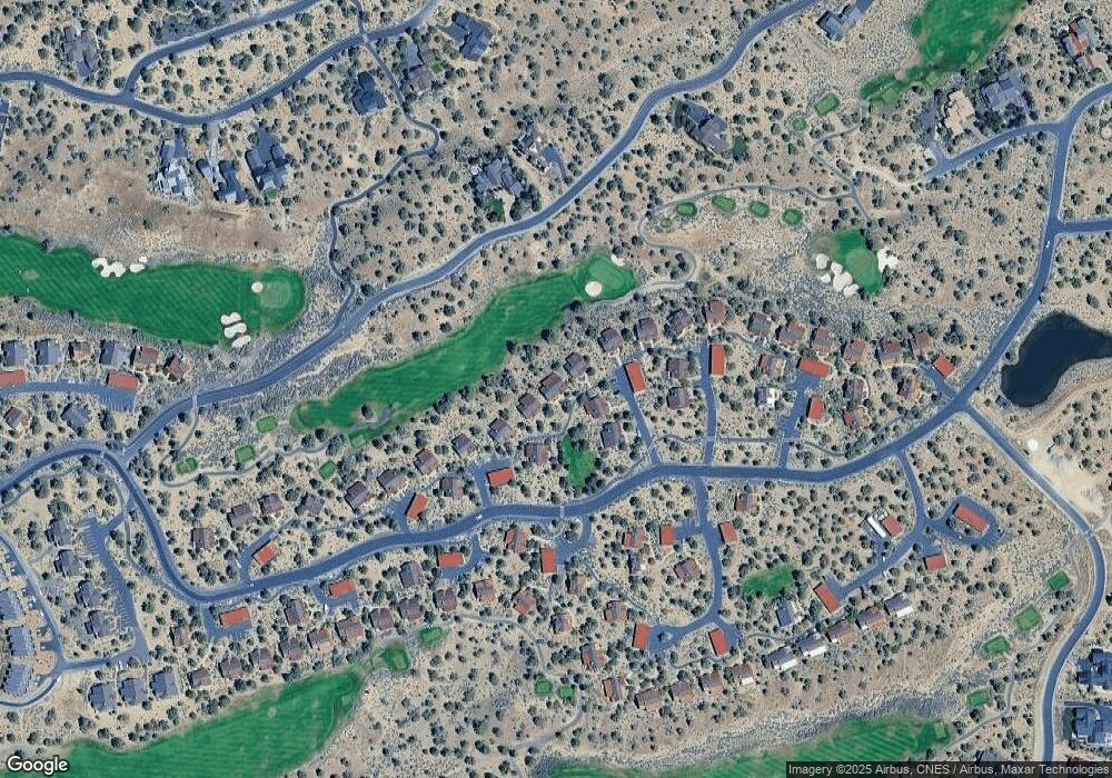
Map
Nearby Homes
- 16711 SW Brasada Ranch Rd Unit Cabin 73
- 16759 SW Brasada Ranch Rd Unit 53
- 0 SW Vaqueros Way Unit Homesite 5 220208840
- 0 SW Vaqueros Way Unit 220194461
- 0 SW Vaqueros Way Unit Lot 8
- 16716 SW Brasada Ranch Rd Unit Cabin 88
- 16752 SW Brasada Ranch Rd
- 16756 SW Brasada Ranch Rd Unit 57
- 16660 SW Brasada Ranch Rd Unit No.113
- 16776 SW Brasada Ranch Rd Unit Cabin 48
- 15360 SW Wooden Trestle Ln
- 0 Wooden Trestle Ln Unit Homesite 46
- 16644 SW Brasada Ranch Rd Unit 109
- 16824 SW Brasada Ranch Rd Unit Cabin 32
- 16845 SW Brasada Ranch Rd Unit Cabin 23
- 0 SW Spirit Rock Dr Unit 717 220207362
- 0 SW Spirit Rock Dr Unit Lot 720 220205264
- 0 SW Spirit Rock Dr Unit Homesite 693
- 0 SW Spirit Rock Dr Unit Homesite 721
- 16693 SW Starview Dr
- 16723 SW Brasada Ranch Rd Unit 70
- 16719 SW Brasada Ranch Rd
- 16739 SW Brasada Ranch Rd
- 16727 SW Brasada Ranch Rd
- 16743 SW Brasada Ranch Rd
- 16735 SW Brasada Ranch Rd
- 16735 SW Brasada Ranch Rd Unit Cabin 62
- 16743 S West Brasada Ranch Rd
- 16715 SW Brasada Ranch Rd
- 16715 SW Brasada Ranch Rd Unit 218
- 16715 SW Brasada Ranch Rd Unit 72
- 16731 SW Brasada Ranch Rd
- 16731 SW Brasada Ranch Rd Unit 68
- 16747 SW Brasada Ranch Rd
- 16703 SW Brasada Ranch Rd
- 16707 SW Brasada Ranch Rd
- 16711 SW Brasada Ranch Rd
- 16707 S West Brasada Ranch Rd Unit 74
- 16751 SW Brasada Ranch Rd Unit 55
- 16751 SW Brasada Ranch Rd