16731 Sapps Run Rd Danville, OH 43014
Estimated Value: $292,000 - $757,000
3
Beds
3
Baths
1,680
Sq Ft
$278/Sq Ft
Est. Value
About This Home
This home is located at 16731 Sapps Run Rd, Danville, OH 43014 and is currently estimated at $467,634, approximately $278 per square foot. 16731 Sapps Run Rd is a home located in Knox County with nearby schools including Danville Elementary School, Danville Middle School, and Danville High School.
Ownership History
Date
Name
Owned For
Owner Type
Purchase Details
Closed on
Oct 25, 2016
Sold by
Workman Norman J
Bought by
Workman Darren and Workman Curt
Current Estimated Value
Purchase Details
Closed on
Sep 28, 2016
Sold by
Nyhart Sheila A and Workman Marvin L
Bought by
Workman Norman J
Purchase Details
Closed on
Jul 29, 1993
Sold by
Workman Eldon E and Workman Helen I
Bought by
Workman Eldon E and Workman Helen I
Create a Home Valuation Report for This Property
The Home Valuation Report is an in-depth analysis detailing your home's value as well as a comparison with similar homes in the area
Home Values in the Area
Average Home Value in this Area
Purchase History
| Date | Buyer | Sale Price | Title Company |
|---|---|---|---|
| Workman Darren | -- | None Available | |
| Workman Norman J | -- | None Available | |
| Nyhart Sheila A | -- | None Available | |
| Workman Eldon E | -- | -- |
Source: Public Records
Tax History Compared to Growth
Tax History
| Year | Tax Paid | Tax Assessment Tax Assessment Total Assessment is a certain percentage of the fair market value that is determined by local assessors to be the total taxable value of land and additions on the property. | Land | Improvement |
|---|---|---|---|---|
| 2024 | $2,148 | $73,100 | $33,200 | $39,900 |
| 2023 | $2,148 | $73,100 | $33,200 | $39,900 |
| 2022 | $1,863 | $56,240 | $25,540 | $30,700 |
| 2021 | $1,863 | $56,240 | $25,540 | $30,700 |
| 2020 | $1,755 | $56,240 | $25,540 | $30,700 |
| 2019 | $2,146 | $57,420 | $19,850 | $37,570 |
| 2018 | $2,160 | $57,420 | $19,850 | $37,570 |
| 2017 | $2,122 | $57,420 | $19,850 | $37,570 |
| 2016 | $1,921 | $49,930 | $17,260 | $32,670 |
| 2015 | $1,833 | $49,180 | $16,510 | $32,670 |
| 2014 | $1,841 | $49,180 | $16,510 | $32,670 |
| 2013 | $1,763 | $47,030 | $14,540 | $32,490 |
Source: Public Records
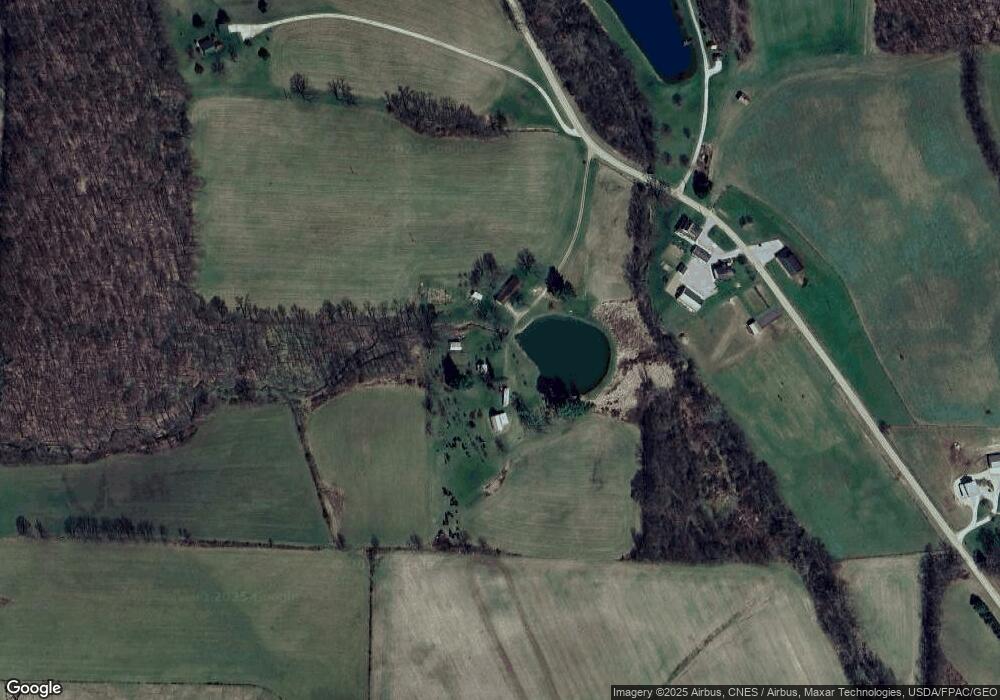
Map
Nearby Homes
- 15819 King Rd
- 701 Grand View Dr
- 164 Grand Ridge Rd
- 0 Grand Valley Dr Unit 5161854
- 353 Valleybrook Cir
- 698 Grand Valley Dr
- 0 King Rd Unit 225019584
- 0 King Rd Unit 20250360
- 3062 Apple Valley Dr
- 733 Grand View Dr
- 15027 King Rd
- 2863 Apple Valley Dr
- 14993 King Rd
- 0 Howard-Danville Rd
- 26697 Danville Amity Rd
- 15460 Howard Danville Rd
- 381 Northridge Heights Dr
- 381 N Ridge Heights Dr
- 665 Highland Hills Dr
- 392 N Ridge Heights Dr
- 16683 Sapps Run Rd
- 16536 Sapps Run Rd
- 24579 Danville-Amity Rd
- 24579 Danville Amity Rd
- 16551 Workman Rd
- 16775 Workman Rd
- 24999 Danville Amity Rd
- 16199 Skyline Dr
- 16120 Skyline Dr
- 25037 Danville Amity Rd
- 16161 Skyline Dr
- 25131 Danville Amity Rd
- 25000 Danville Amity Rd
- 16040 Skyline Dr
- 16125 Skyline Dr
- 16163 Sapps Run Rd
- 25205 Danville Amity Rd
- 16097 Skyline Dr
- 16101 Sapps Run Rd
- 25316 Danville Amity Rd