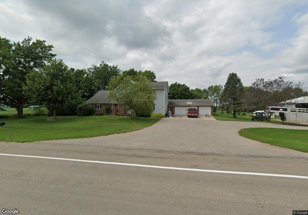
16738 Old Hwy 66 Good Thunder, MN 56037
Estimated Value: $472,127 - $499,000
4
Beds
2
Baths
2,659
Sq Ft
$182/Sq Ft
Est. Value
About This Home
This home is located at 16738 Old Hwy 66, Good Thunder, MN 56037 and is currently estimated at $485,032, approximately $182 per square foot. 16738 Old Hwy 66 is a home located in Blue Earth County with nearby schools including Lake Crystal Wellcome Memorial Elementary School, Lake Crystal Wellcome Memorial Secondary School, and St. John Lutheran School.
Ownership History
Date
Name
Owned For
Owner Type
Purchase Details
Closed on
Feb 11, 2016
Sold by
Ulrich Garrett L and Ulrich Kelly I
Bought by
Blue Earth County
Current Estimated Value
Purchase Details
Closed on
Aug 12, 2014
Sold by
Ulrich Dean L and Ulrich Kay E
Bought by
Ulrich Garrett L and Ulrich Kelly I
Home Financials for this Owner
Home Financials are based on the most recent Mortgage that was taken out on this home.
Original Mortgage
$294,500
Interest Rate
3.75%
Mortgage Type
New Conventional
Create a Home Valuation Report for This Property
The Home Valuation Report is an in-depth analysis detailing your home's value as well as a comparison with similar homes in the area
Purchase History
| Date | Buyer | Sale Price | Title Company |
|---|---|---|---|
| Blue Earth County | $43,000 | -- | |
| Ulrich Garrett L | $300,000 | -- |
Source: Public Records
Mortgage History
| Date | Status | Borrower | Loan Amount |
|---|---|---|---|
| Previous Owner | Ulrich Garrett L | $294,500 |
Source: Public Records
Tax History
| Year | Tax Paid | Tax Assessment Tax Assessment Total Assessment is a certain percentage of the fair market value that is determined by local assessors to be the total taxable value of land and additions on the property. | Land | Improvement |
|---|---|---|---|---|
| 2025 | $2,654 | $487,800 | $202,500 | $285,300 |
| 2024 | $2,402 | $490,300 | $220,400 | $269,900 |
| 2023 | $2,416 | $486,400 | $210,400 | $276,000 |
| 2022 | $2,260 | $437,400 | $178,500 | $258,900 |
| 2021 | $2,058 | $367,000 | $161,600 | $205,400 |
| 2020 | $1,902 | $339,200 | $160,100 | $179,100 |
| 2019 | $2,050 | $339,200 | $160,100 | $179,100 |
| 2018 | $1,922 | $344,600 | $152,200 | $192,400 |
| 2017 | $1,766 | $344,200 | $160,100 | $184,100 |
| 2016 | $1,622 | $335,500 | $168,100 | $167,400 |
| 2015 | $15 | $317,000 | $174,700 | $142,300 |
| 2014 | $1,654 | $180,100 | $50,000 | $130,100 |
Source: Public Records
Map
Nearby Homes
- 16280 552nd Ave
- 217 S Houk St
- 57177 Juniper Rd
- 15135 550th Ave Unit 15135 550th Ave
- 568th Ave
- 568th Avenue
- 277 Red Ridge Rd
- 58343 179th St
- 555th Ave
- 53508 192nd Ln
- 115 Tami Ln
- 19169 State Highway 22
- 19169 Minnesota 22
- 55997 132nd St
- 307 Meadow Woods Dr
- 0 Applewood Ct
- 35 Taza Dr
- 75 Telemark Dr
- TBD 583rd Ln
- 27 Capri Dr
- 16639 559th Ln
- 16985 Old Hwy 66
- 16536 559th Ln
- 16456 Old Hwy 66
- 55940 Ivy Rd
- 55799 Ivy Rd
- 55755 Ivy Rd
- 17069 State Highway 66
- 55952 Ivy Rd
- 55668 171st St
- 16793 552nd Ave
- 16285 560th Ln
- 56016 Ivy Rd
- 56021 Ivy Rd
- 16288 560th Ln
- 16762 563rd Ave
- 16244 560th Ln
- 16625 552nd Ave
- 16704 552nd Ave
- 16698 563rd Ave
Your Personal Tour Guide
Ask me questions while you tour the home.