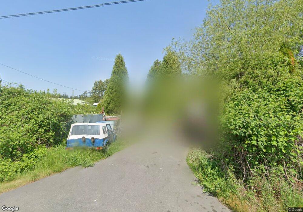
1674 Benson Rd Point Roberts, WA 98281
Estimated Value: $342,000 - $412,000
2
Beds
2
Baths
930
Sq Ft
$413/Sq Ft
Est. Value
About This Home
This home is located at 1674 Benson Rd, Point Roberts, WA 98281 and is currently estimated at $384,117, approximately $413 per square foot. 1674 Benson Rd is a home located in Whatcom County with nearby schools including Point Roberts Primary School, Blaine Middle School, and Blaine High School.
Ownership History
Date
Name
Owned For
Owner Type
Purchase Details
Closed on
Sep 20, 2011
Sold by
Simundson Sandra
Bought by
Mcskimmings Shawn Adam and Mcskimmings Gail
Current Estimated Value
Home Financials for this Owner
Home Financials are based on the most recent Mortgage that was taken out on this home.
Original Mortgage
$217,700
Outstanding Balance
$147,863
Interest Rate
4.09%
Mortgage Type
VA
Estimated Equity
$236,254
Purchase Details
Closed on
Jul 29, 2004
Sold by
Fortt Kenneth
Bought by
Simundson Ronald and Simundson Sandra
Purchase Details
Closed on
Jul 27, 2001
Sold by
Fortt Janette
Bought by
Fortt Kenneth
Create a Home Valuation Report for This Property
The Home Valuation Report is an in-depth analysis detailing your home's value as well as a comparison with similar homes in the area
Home Values in the Area
Average Home Value in this Area
Purchase History
| Date | Buyer | Sale Price | Title Company |
|---|---|---|---|
| Mcskimmings Shawn Adam | $217,980 | Whatcom Land Title | |
| Simundson Ronald | $144,000 | Chicago Title Insurance | |
| Fortt Kenneth | -- | Chicago Title Insurance Comp |
Source: Public Records
Mortgage History
| Date | Status | Borrower | Loan Amount |
|---|---|---|---|
| Open | Mcskimmings Shawn Adam | $217,700 |
Source: Public Records
Tax History Compared to Growth
Tax History
| Year | Tax Paid | Tax Assessment Tax Assessment Total Assessment is a certain percentage of the fair market value that is determined by local assessors to be the total taxable value of land and additions on the property. | Land | Improvement |
|---|---|---|---|---|
| 2024 | $586 | $312,218 | $168,630 | $143,588 |
| 2023 | $586 | $296,888 | $153,300 | $143,588 |
| 2022 | $648 | $271,131 | $140,000 | $78,102 |
| 2021 | $683 | $227,558 | $120,384 | $78,102 |
| 2020 | $707 | $210,699 | $111,465 | $99,234 |
| 2019 | $732 | $202,107 | $106,920 | $95,187 |
| 2018 | $535 | $181,692 | $96,120 | $85,572 |
| 2017 | $1,079 | $173,526 | $91,800 | $81,726 |
| 2016 | $527 | $170,124 | $90,000 | $80,124 |
| 2015 | $559 | $171,768 | $96,610 | $75,158 |
| 2014 | -- | $179,571 | $101,000 | $78,571 |
| 2013 | -- | $171,978 | $97,000 | $74,978 |
Source: Public Records
Map
Nearby Homes
- 158 Tyee Dr
- 168 Tyee Dr
- 8 Heather Way
- 1542 Columbia Vista Dr
- 245 Shady Glen Ave
- 2 Benson Rd
- 1 Mill Rd
- 2 Mill Rd
- 230 Iris Blvd
- 0 6 39 Acres South Beach Rd
- 1438 Gulf Rd
- 125 Park Dr
- 1871 Johnson Rd
- lot 14 Cedar Park Dr Unit 14
- 11 Lot Rex St
- 1927 Orcas View Way
- 1976 Cedar Park Dr
- Lot 2 Greenwood Dr
- 1379 Gulf Rd
- 17 Lot Massey Way
- 1660 Benson Rd
- 1650 Benson Rd
- 1702 Benson Rd
- 1692 Benson Rd
- 386 Tyee Dr
- 350 Evergreen Way
- 347 Evergreen Way
- 1725 Austin Rd
- 1721 Benson Rd Unit 111
- 1721 Benson Rd Unit 101
- 1721 Benson Rd Unit 117
- 1721 Benson Rd Unit 104
- 1721 Benson Rd Unit 119
- 337 Evergreen Way
- 333 Evergreen Way
- 391 Tyee Dr
- 2234 Seabright Loop
- 2140 Seabright Loop
- 2124 Seabright Loop
- 2214 Seabright Loop